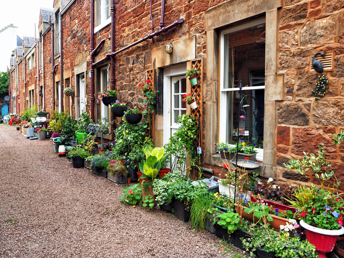
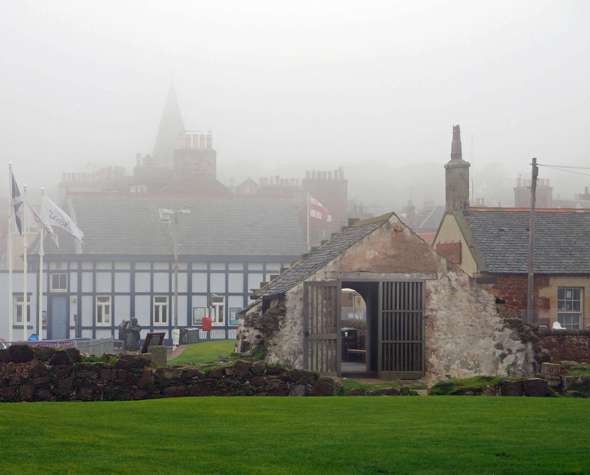
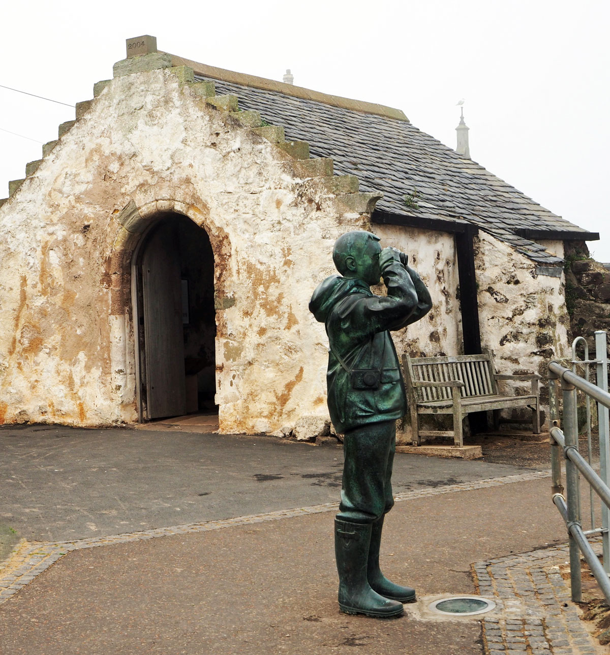
During this year I shall be posting photographs from places around the UK, many of which have not been published before. Where I have previously blogged about a location I will provide a link to the post, though you won’t be able to comment on it as I restrict comments to six months.
P is for Portsmouth
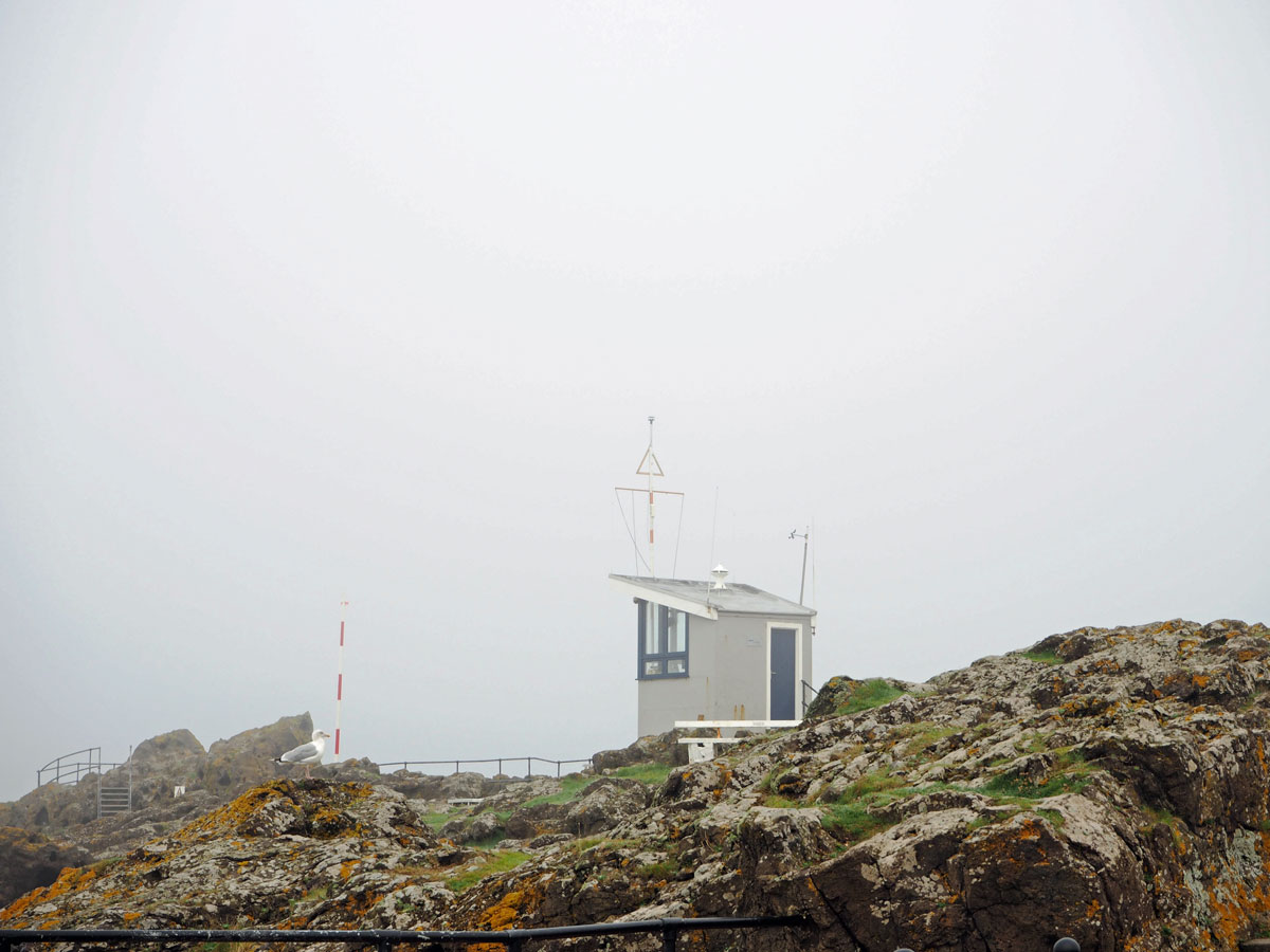
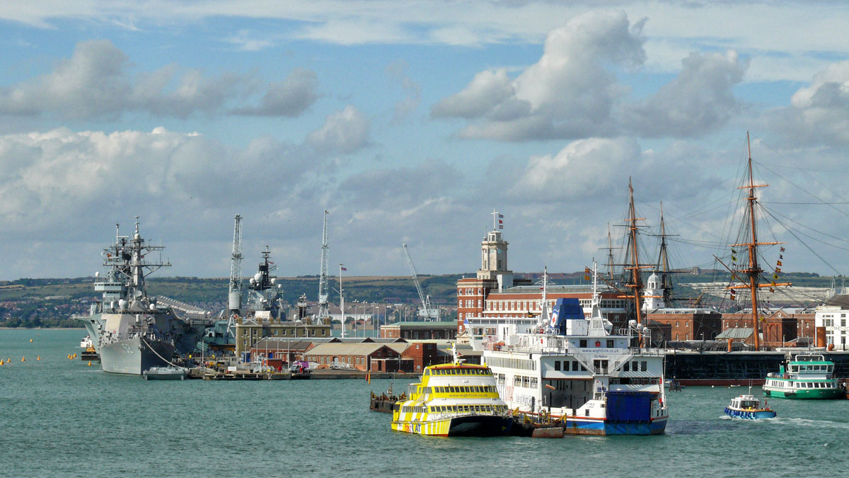
Portsmouth is a port city and naval base on England’s south coast, mostly spread across Portsea Island. It’s known for its maritime heritage and Portsmouth Historic Dockyard.

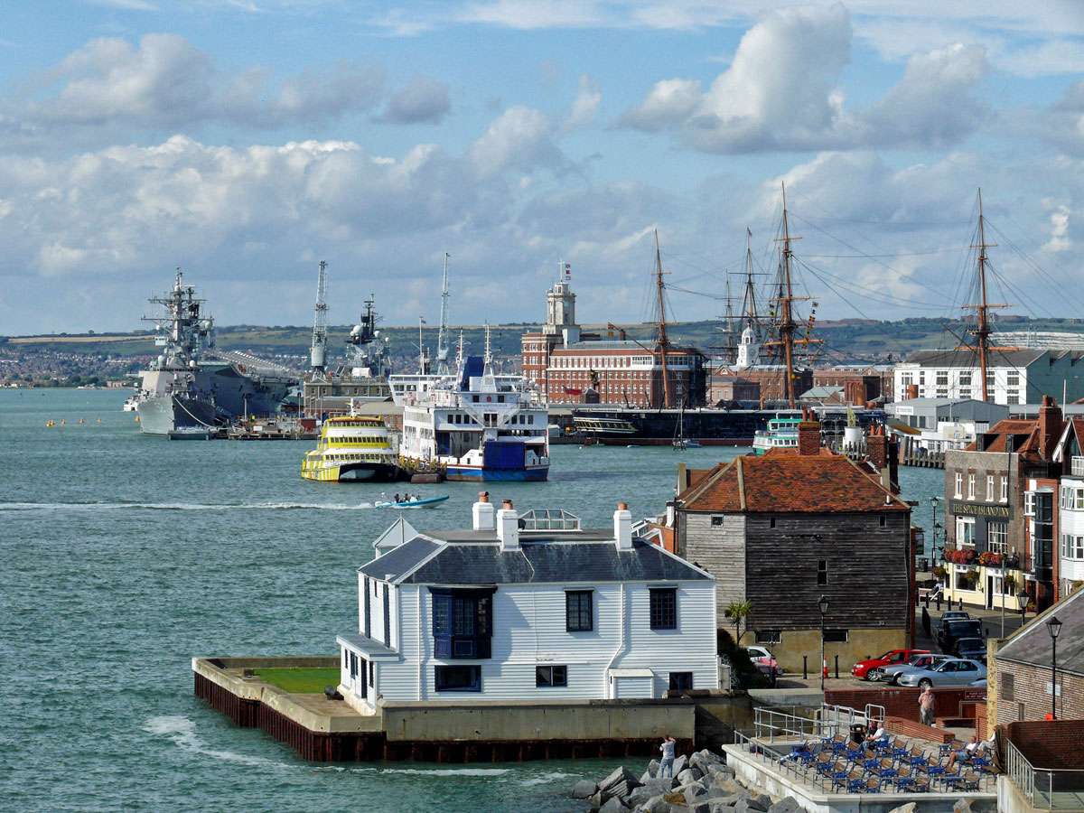 The dockyard is home to the interactive National Museum of the Royal Navy, the wooden warship HMS Victory, where Nelson died in the Battle of Trafalgar, and HMS Warrior 1860. The Tudor ship Mary Rose is also conserved in a dockyard museum.
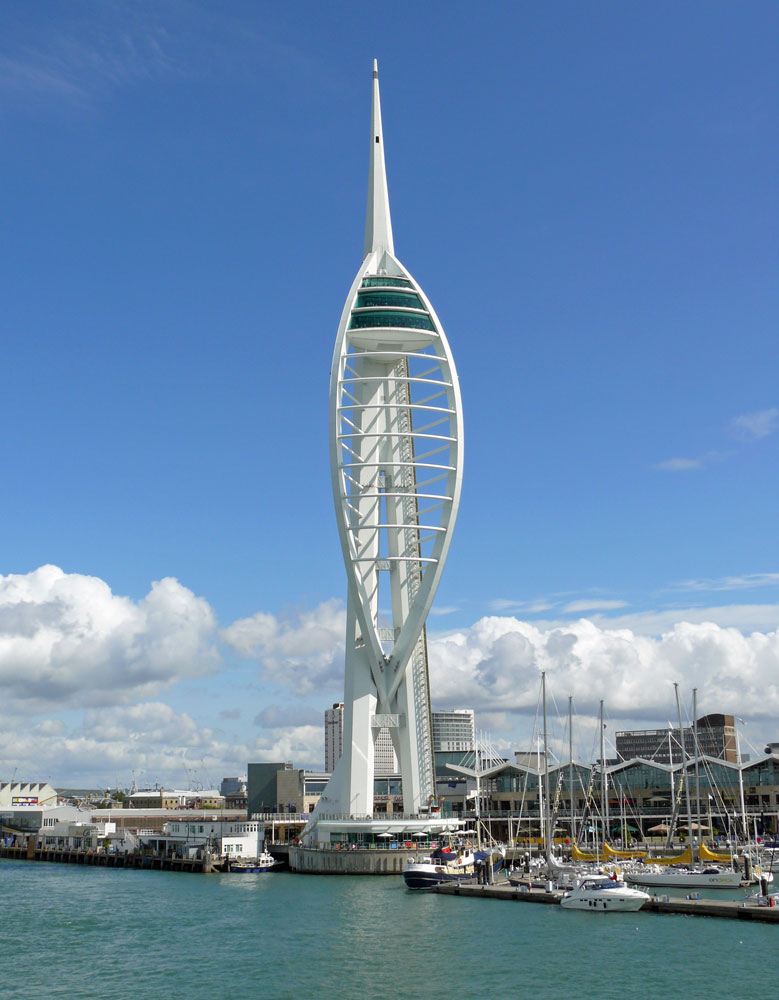
The Spinnaker Tower is a 170-metre landmark observation tower which reflects Portsmouth’s maritime history through its design and is named after a spinnaker, a type of sail that balloons outward. The tower was opened on 18 October 2005.
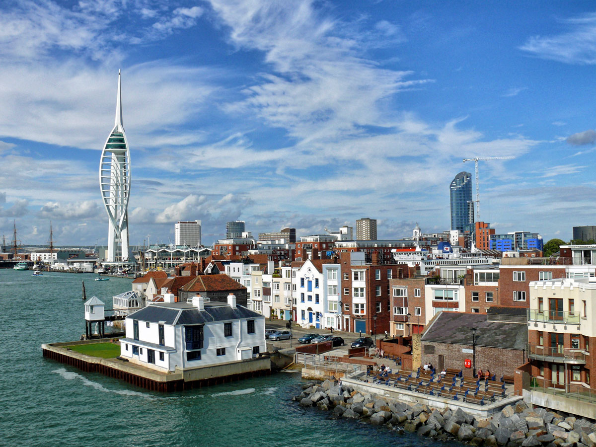
Having previously lived in Hampshire and Surrey and even done a spell of teaching in Portsmouth this is not a city that screams out ‘holiday’ destination to me, but it’s worth a day trip to visit the Historic Dockyard. There is also a good shopping mall, Gunwharf Quays, with plenty of places to eat, drink and stop for a coffee as well as the Spinnaker Tower. There is a railway station right in the harbour area and of course ferries leave here for nearby Gosport as well as the Isle of Wight, Jersey, France and Spain.
Oh and Portsmouth is also the birth place of Charles Dickens. The house that now stands as his birthplace museum is situated on Old Commercial Road, but back then it was called Mile End Terrace.