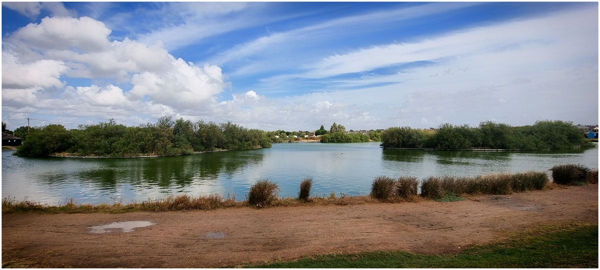
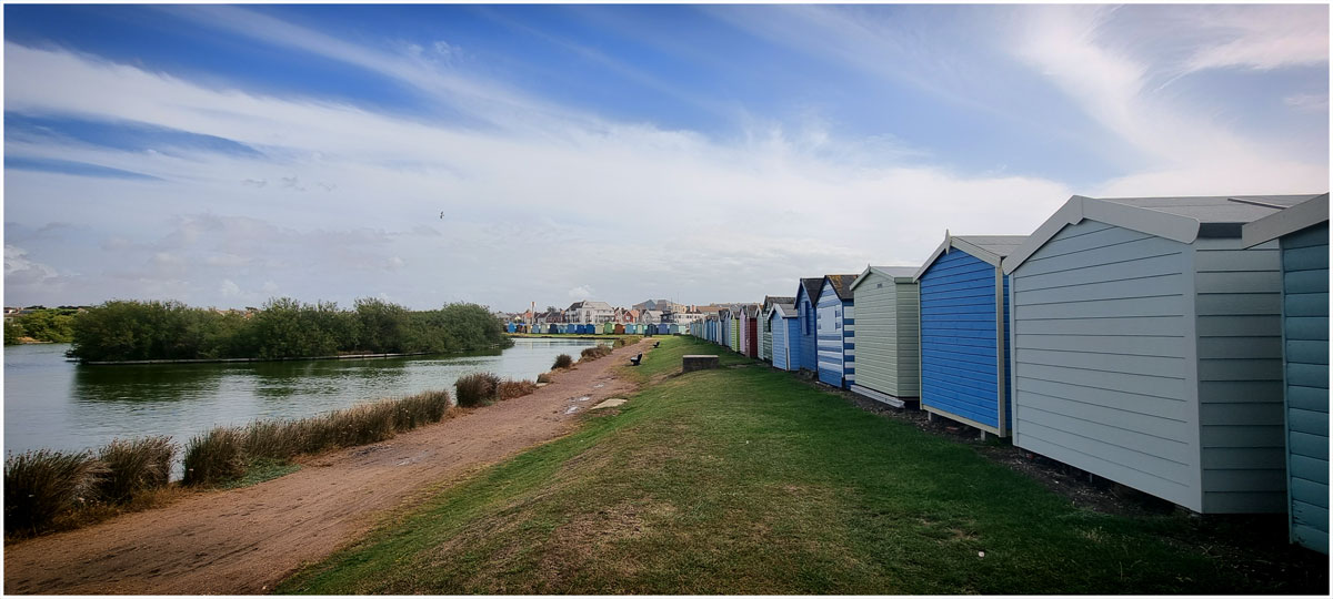
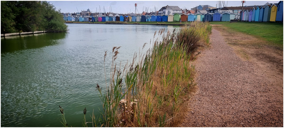
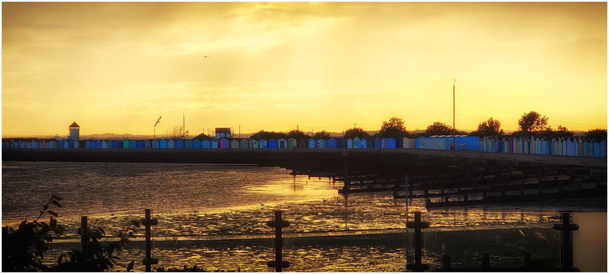
And Surrey…
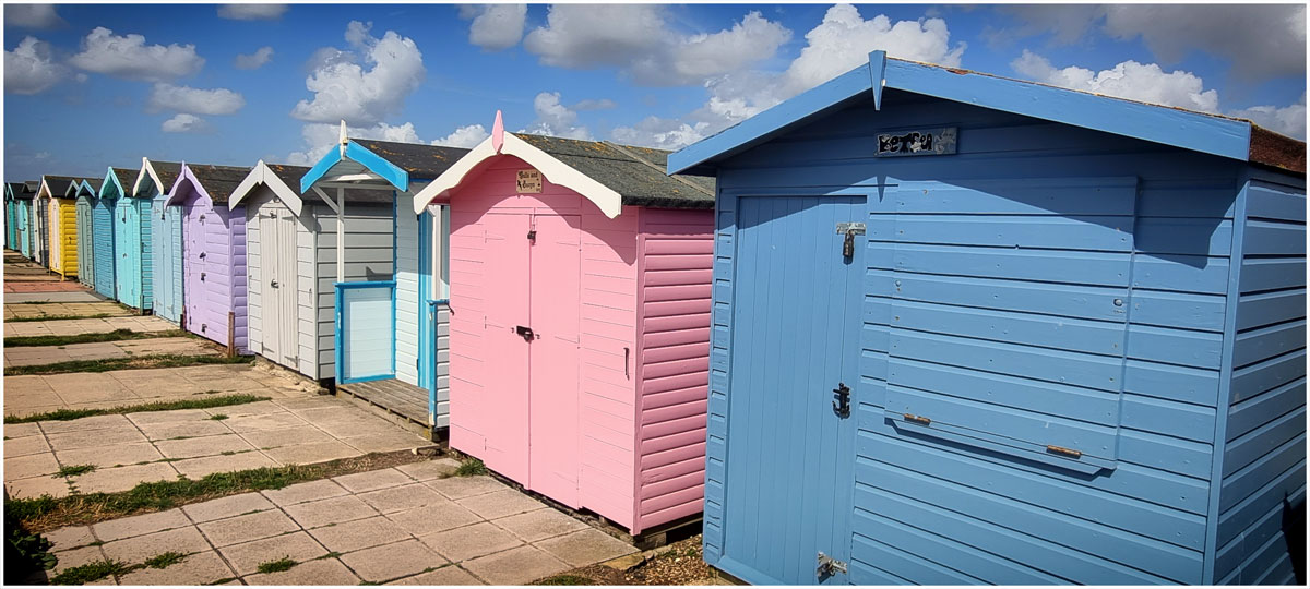
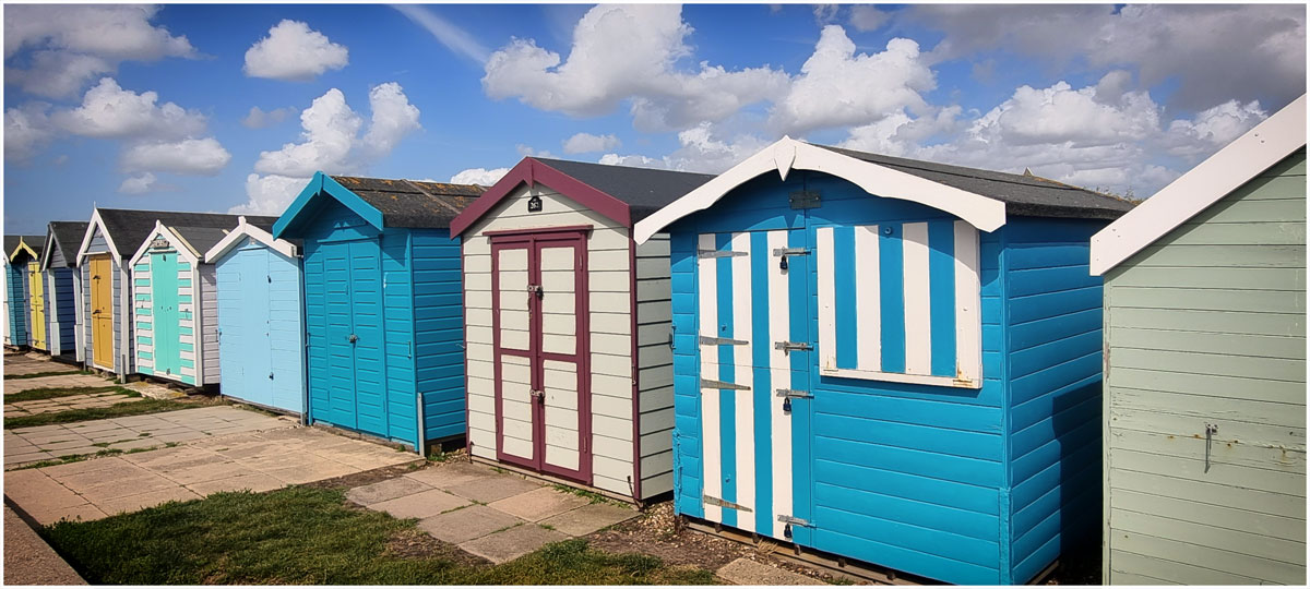
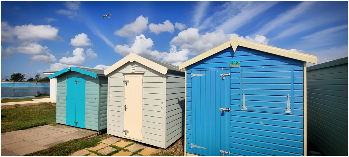
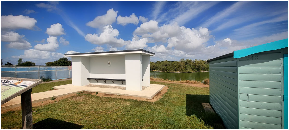
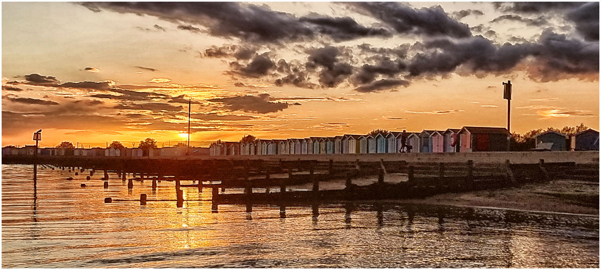
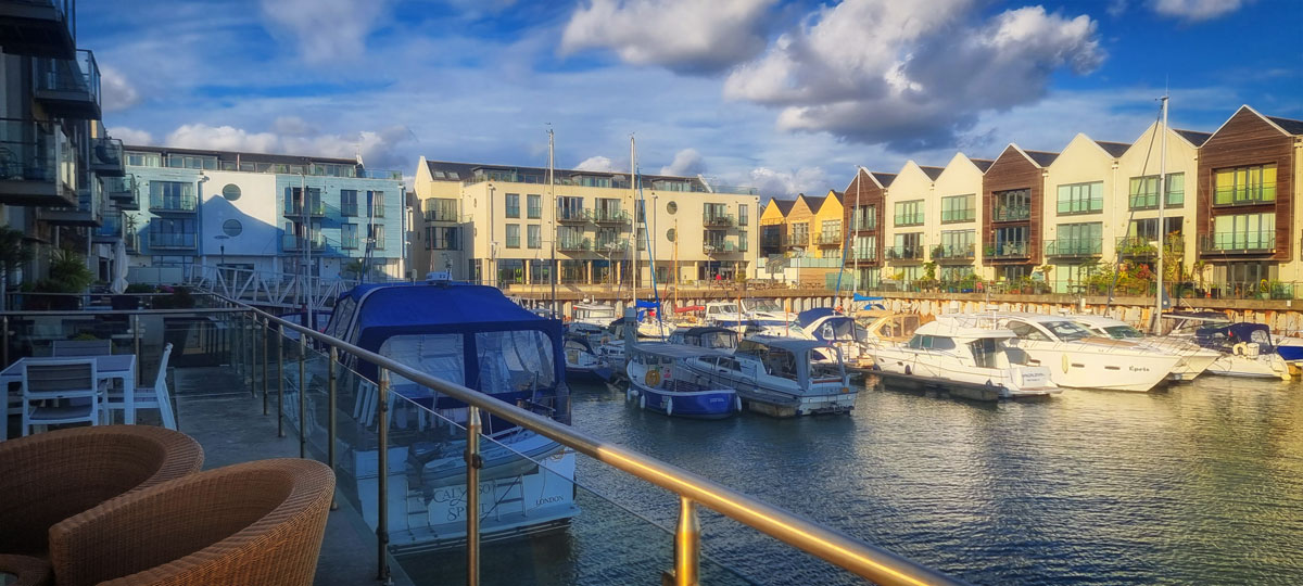
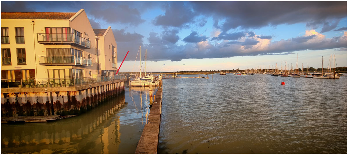
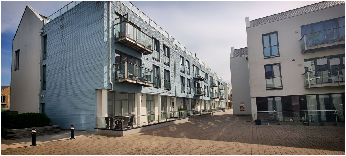
(Please click on the photographs to enlarge them)
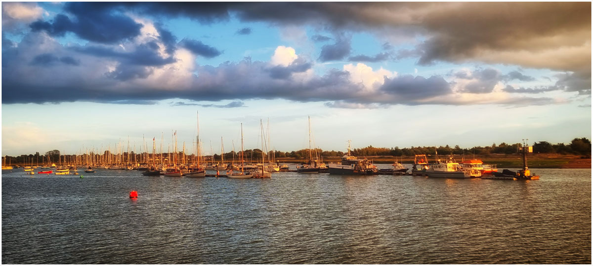
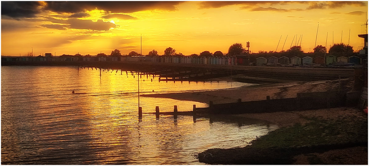
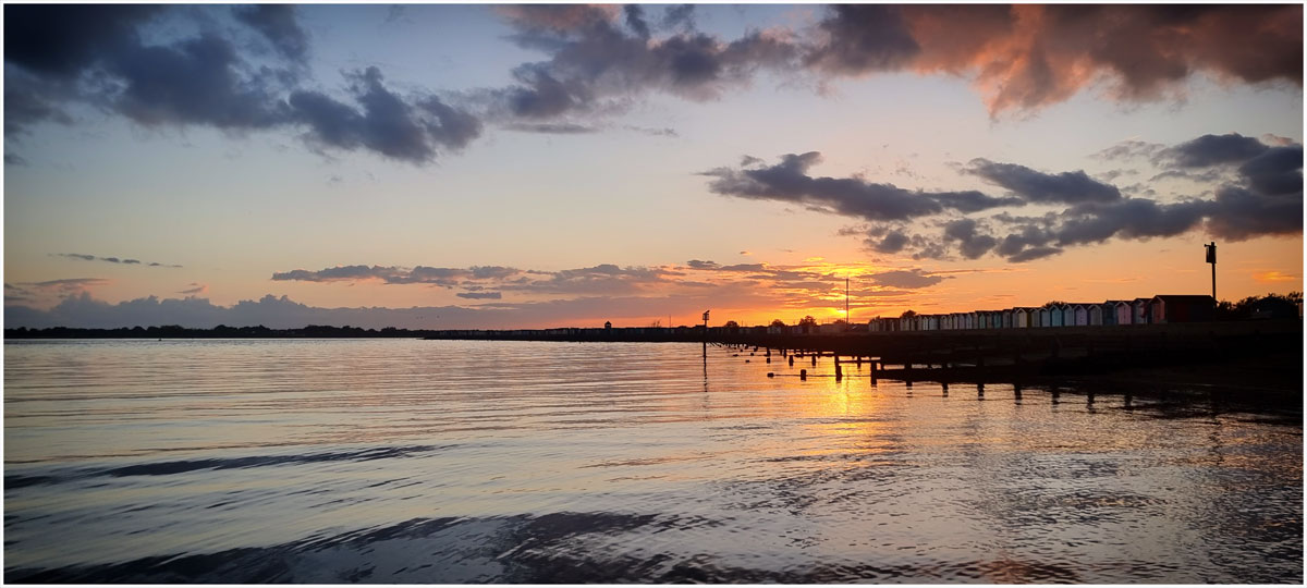
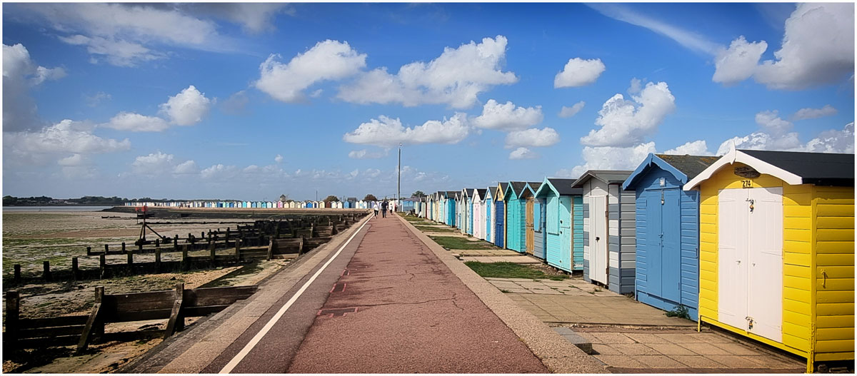
The OH and I often had a spring break – either April or May. Sometimes heading for Surrey where we would spend time with my daughter and the grandchildren (if they were around) and David would often catch a train to spend a day with his daughter in London or a longer stay at her home in Colchester.
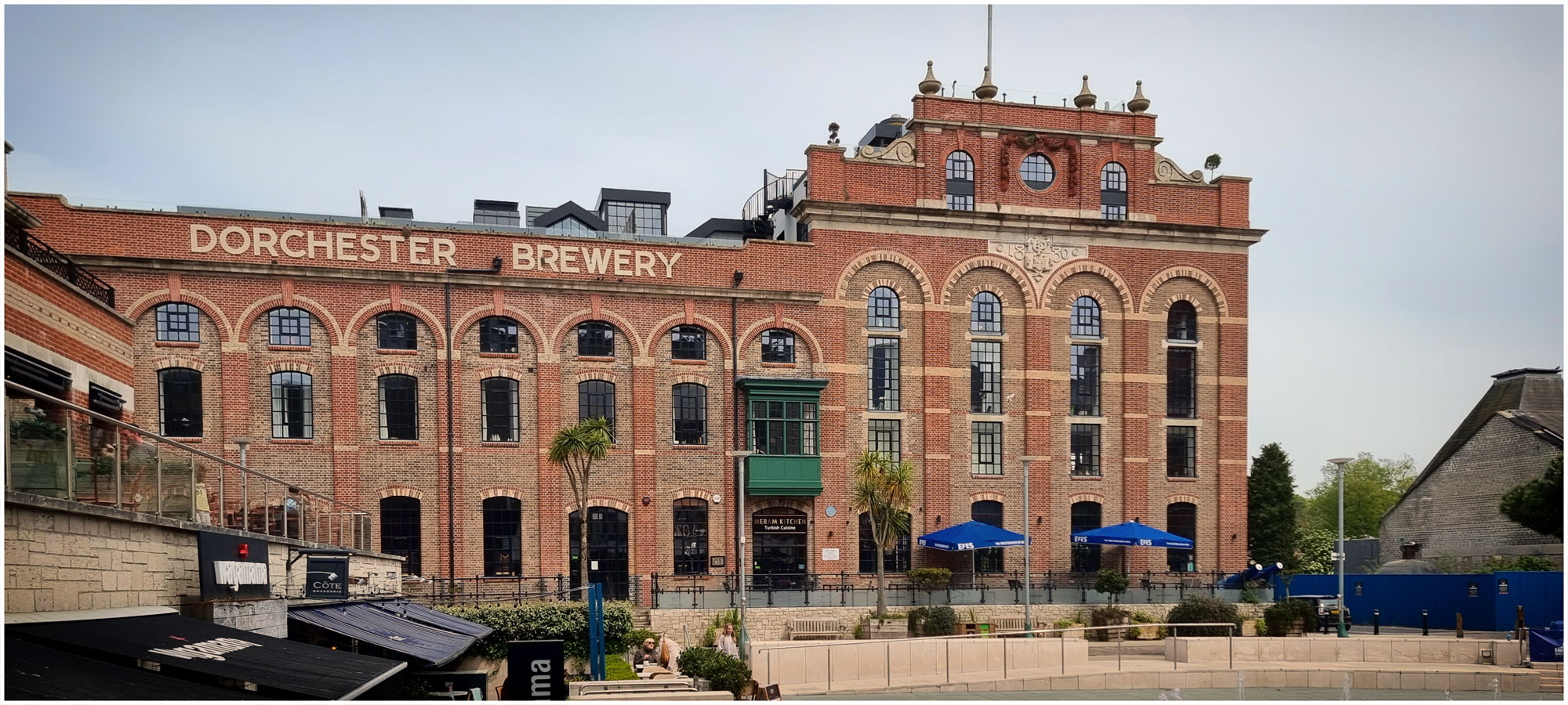
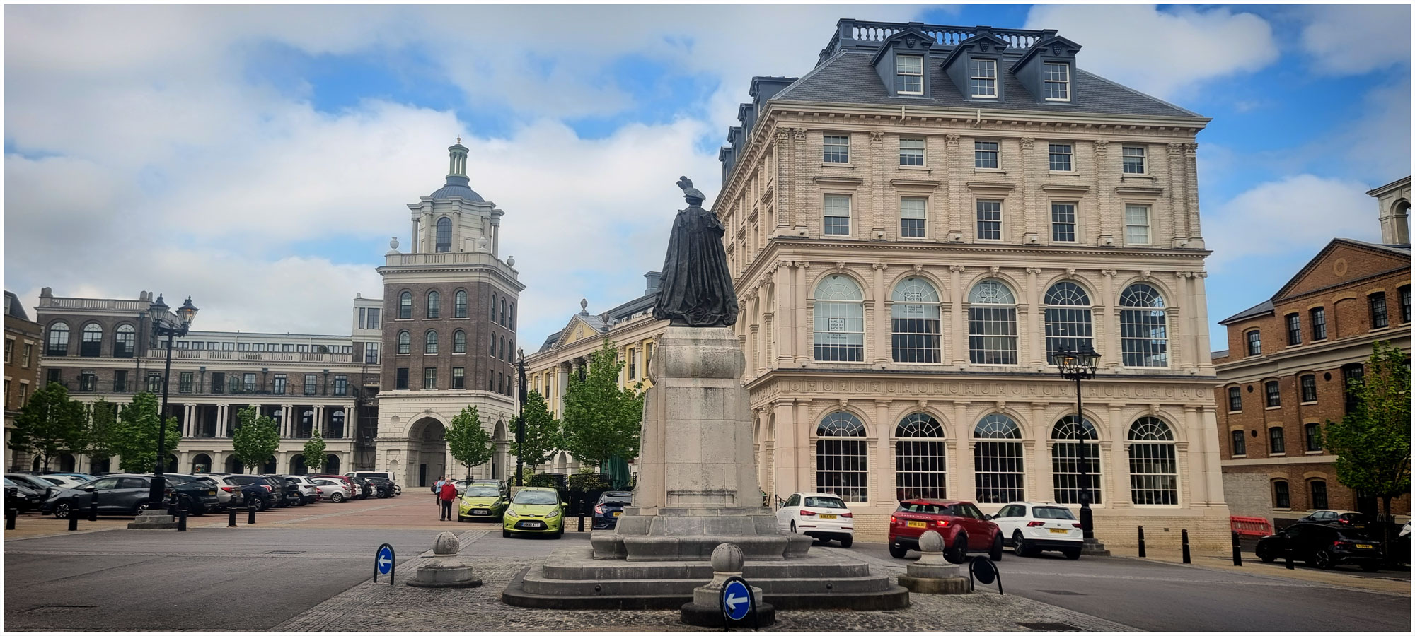
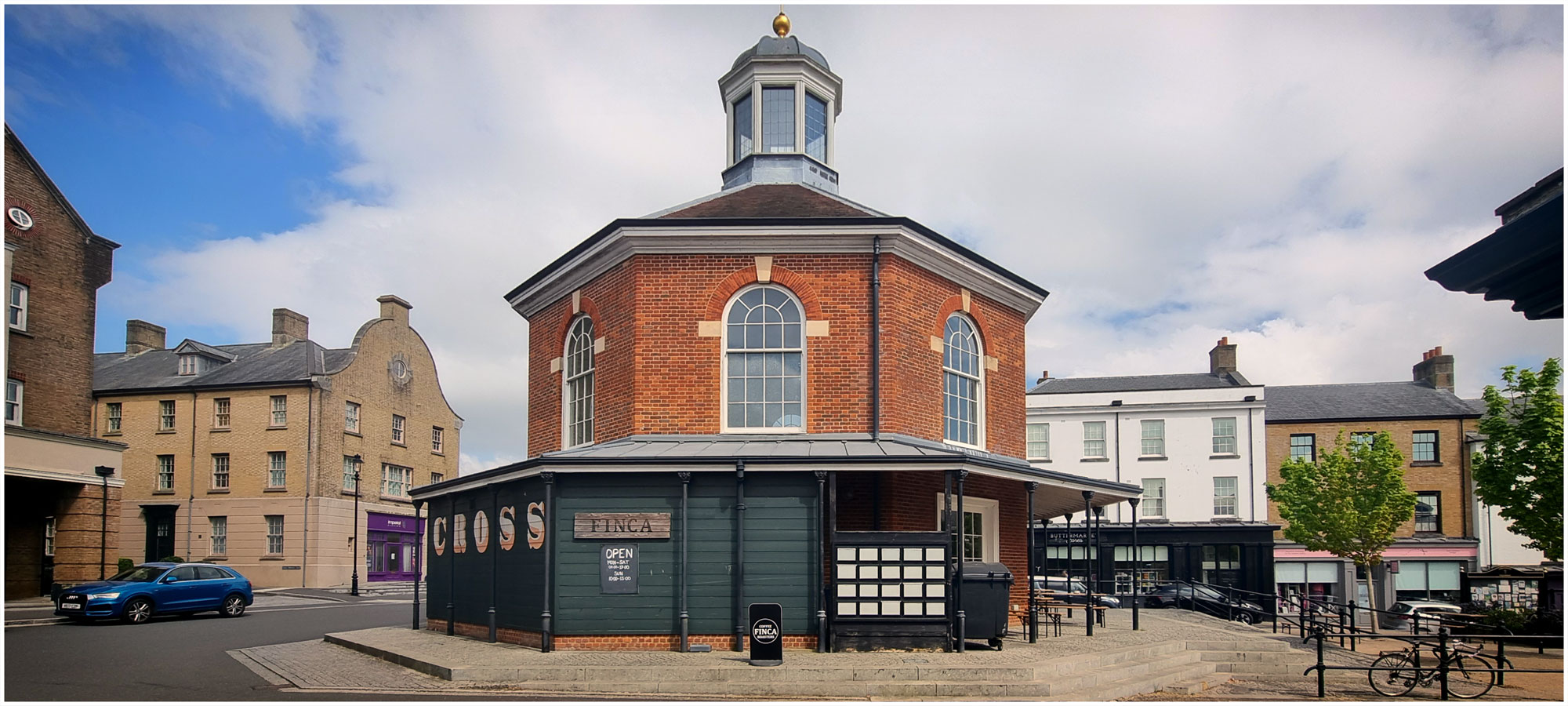
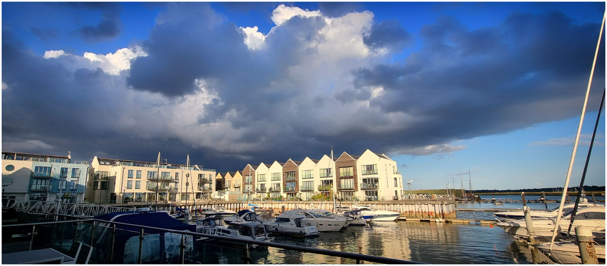
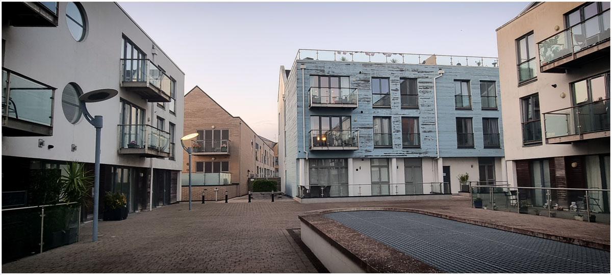
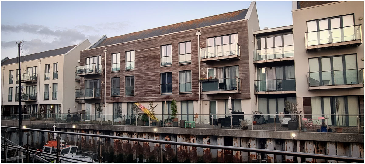
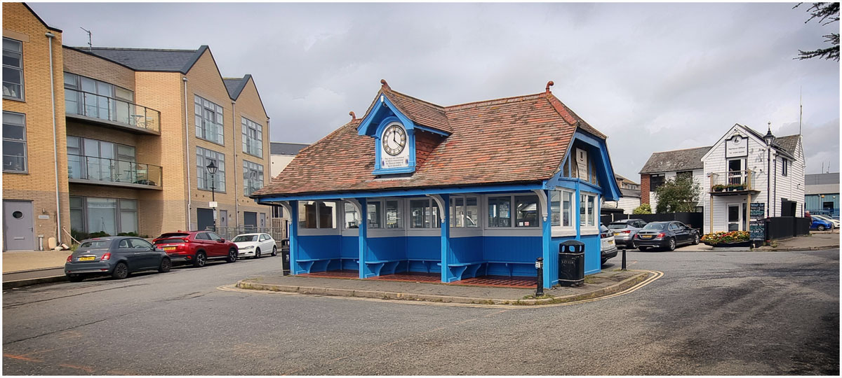
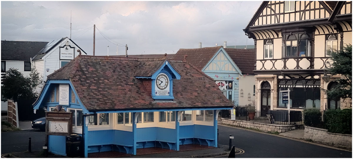
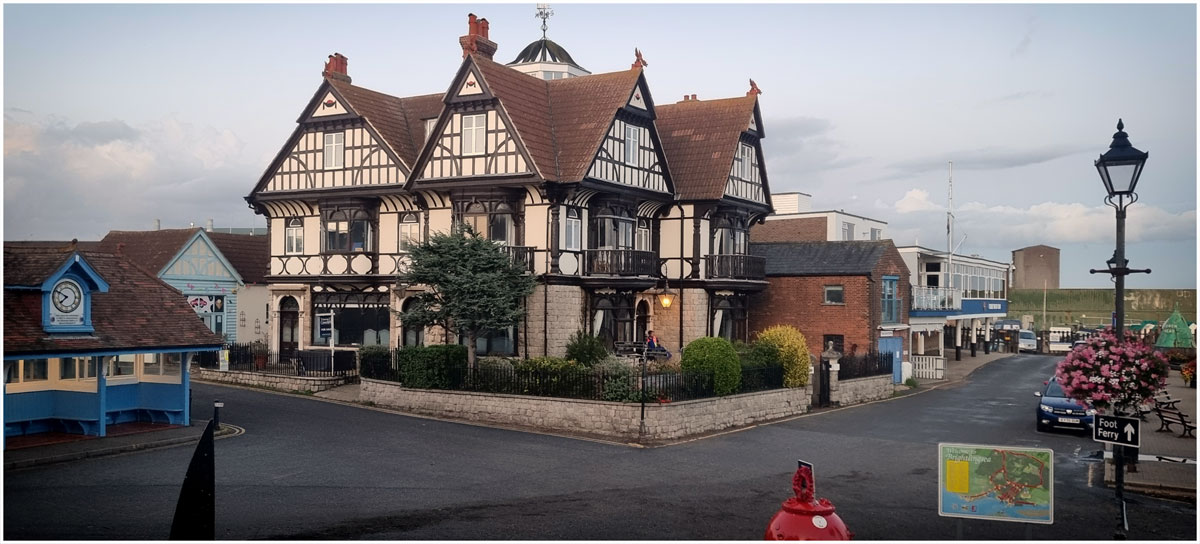
This year I had to do this on my own. Thinking about whether I should move nearer to family I chose to stay in Dorchester for a week, the historic county town of Dorset and home of the Victorian novelist Thomas Hardy, before moving on to Surrey for the early spring Bank Holiday. Dorchester gave me an opportunity to explore some of east Dorset which I haven’t visited in many years. I liked the old part, hated Poundbury (soulless) but wasn’t keen on all the traffic. It does have excellent transport links with two railway stations with a route to Bristol and one to London.
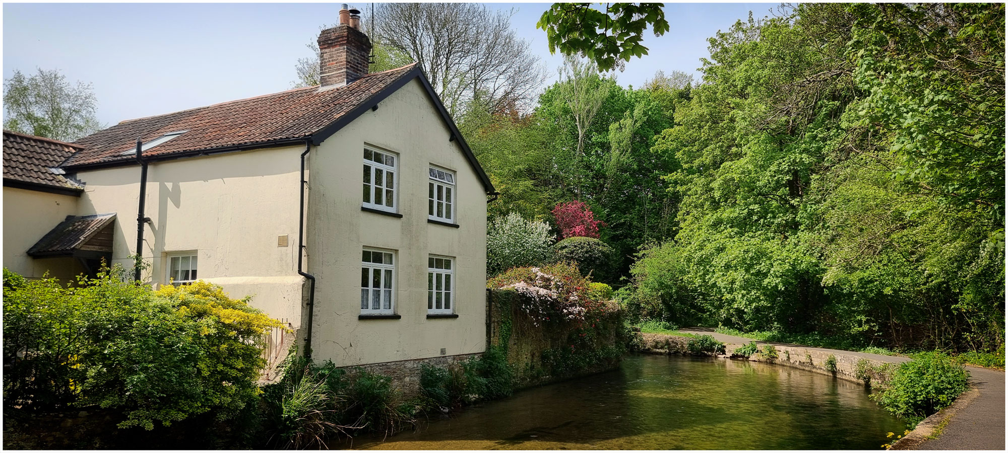
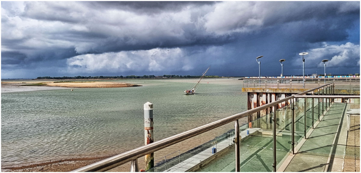
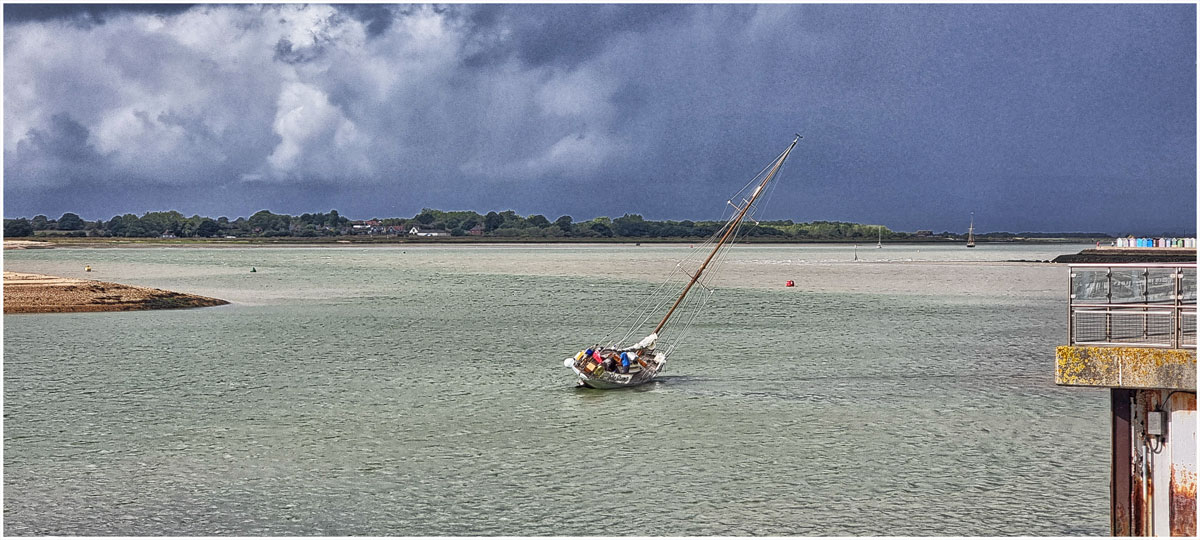
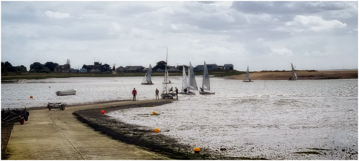
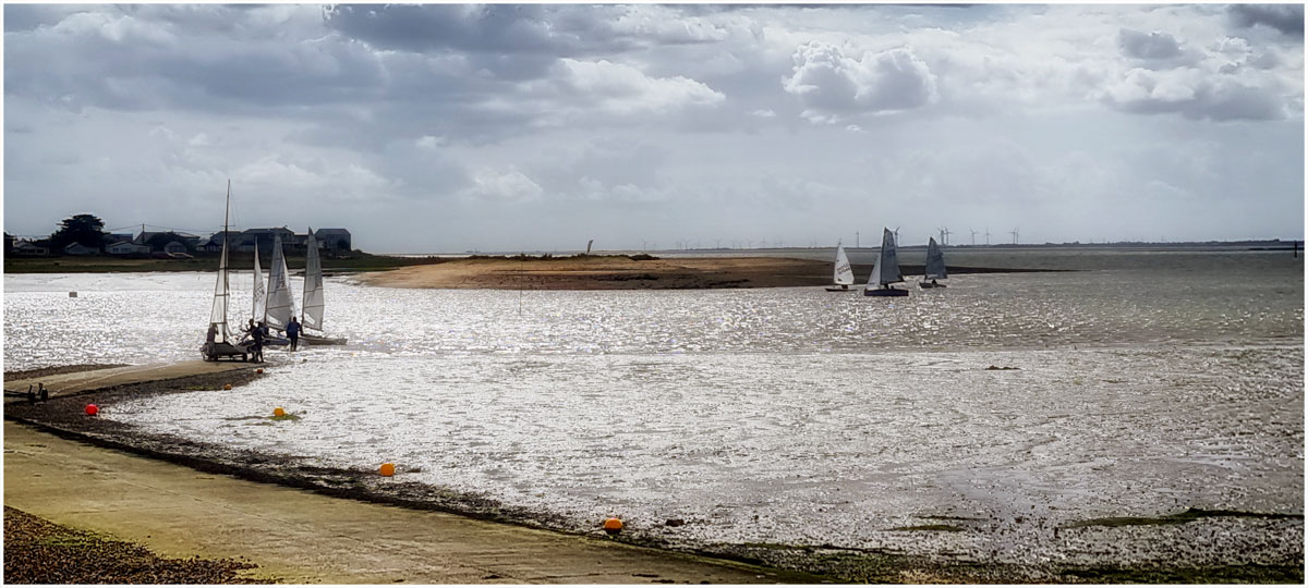
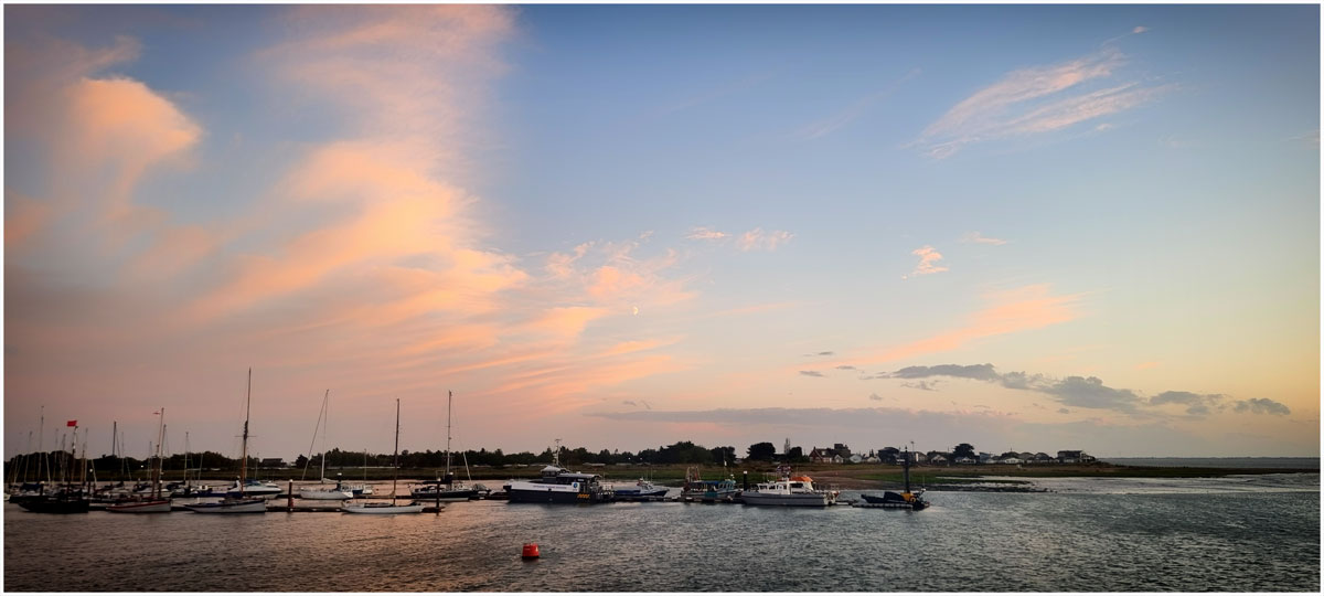
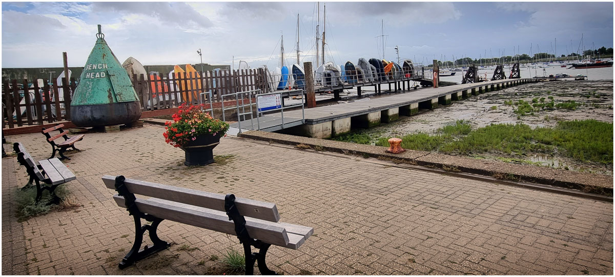
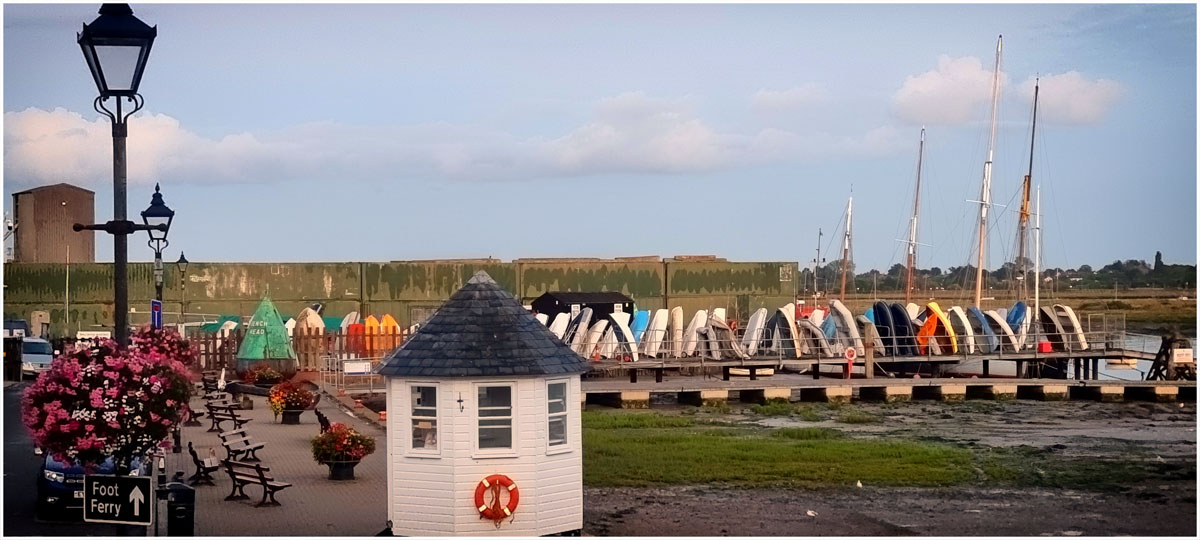
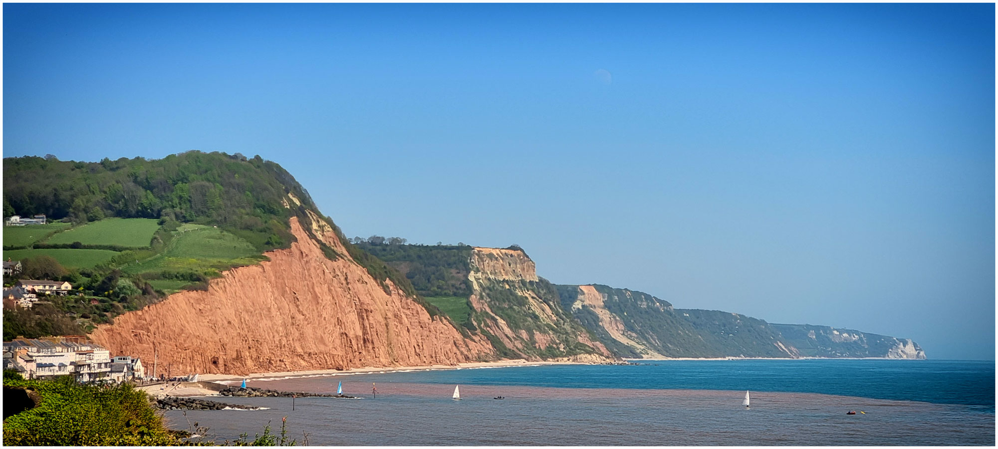
I walked along the River Frome. I walked around the town. I ate dinner at a lovely country inn, I walked on the Jurassic coast (shingle) had takeaway coffee and ice-cream (not at the same time) visited Wareham and Studland and several gardens. The weather remained dry, though not always warm, and I stayed in a lovely pristine quiet converted stable in the old part of the town. It wasn’t as difficult as I thought it might be. Before I met David I often had solo holidays and even when I accompanied him to conferences I spent many a day exploring on my own. The hardest part is during the evening and eating out alone. I just pretended I was away for work! And ate in the cottage most evenings.