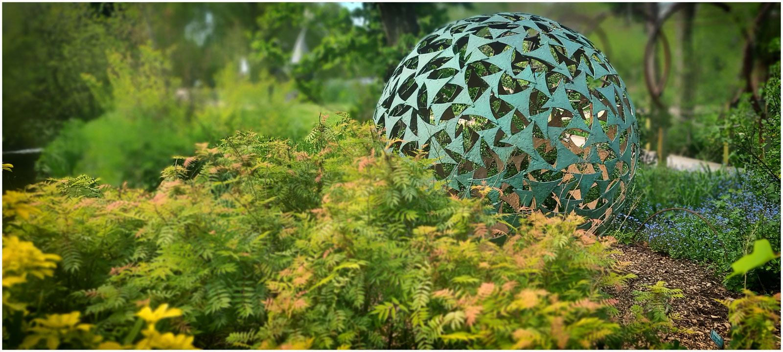
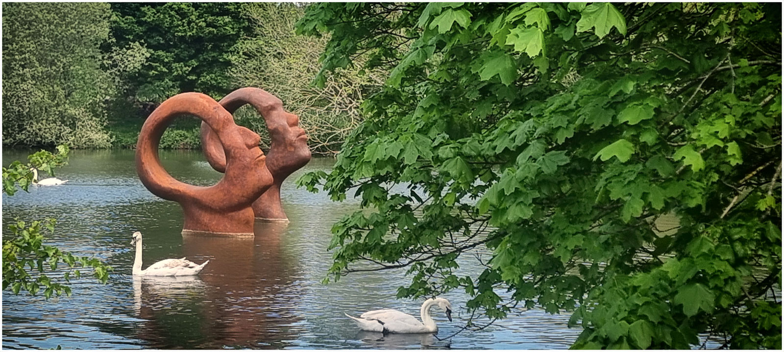
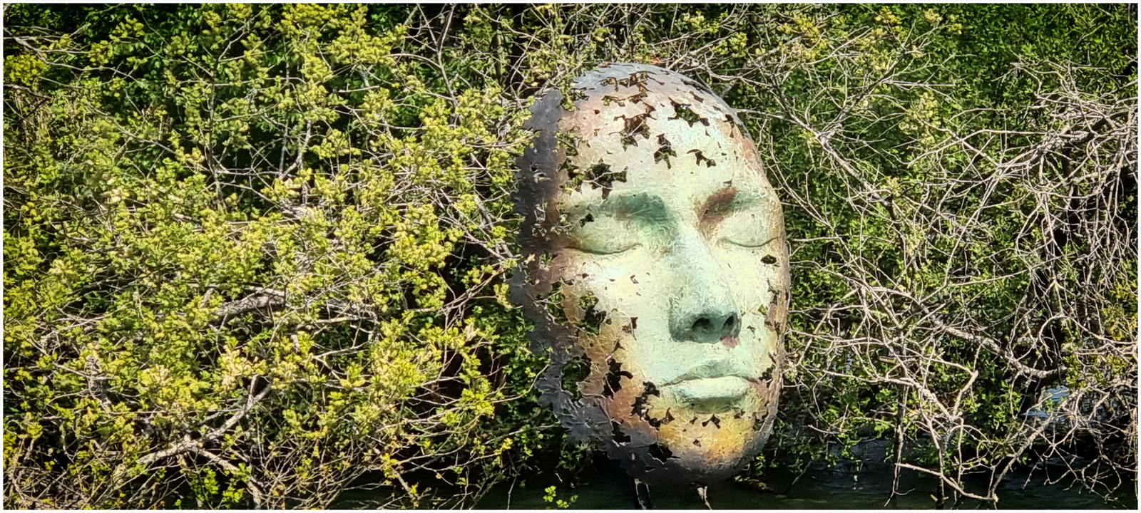
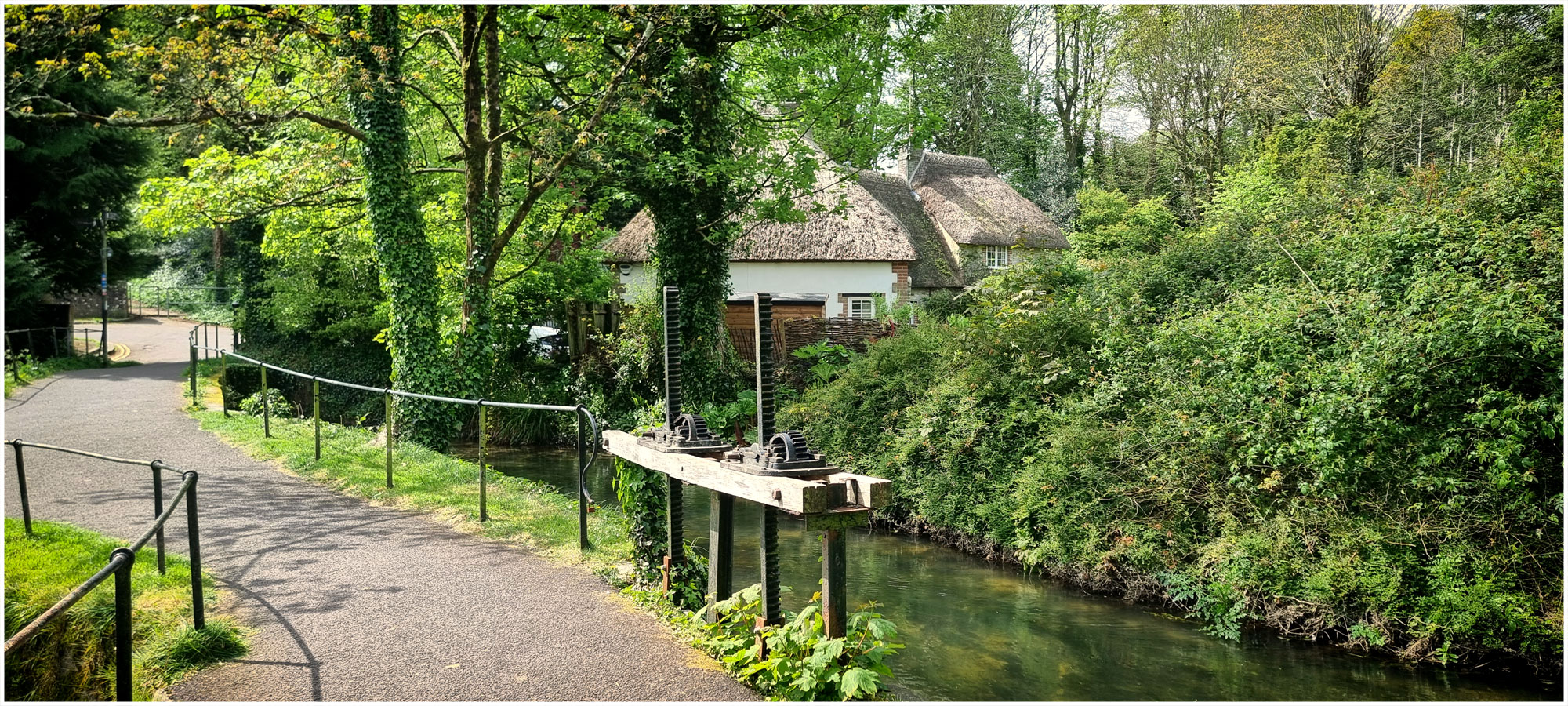
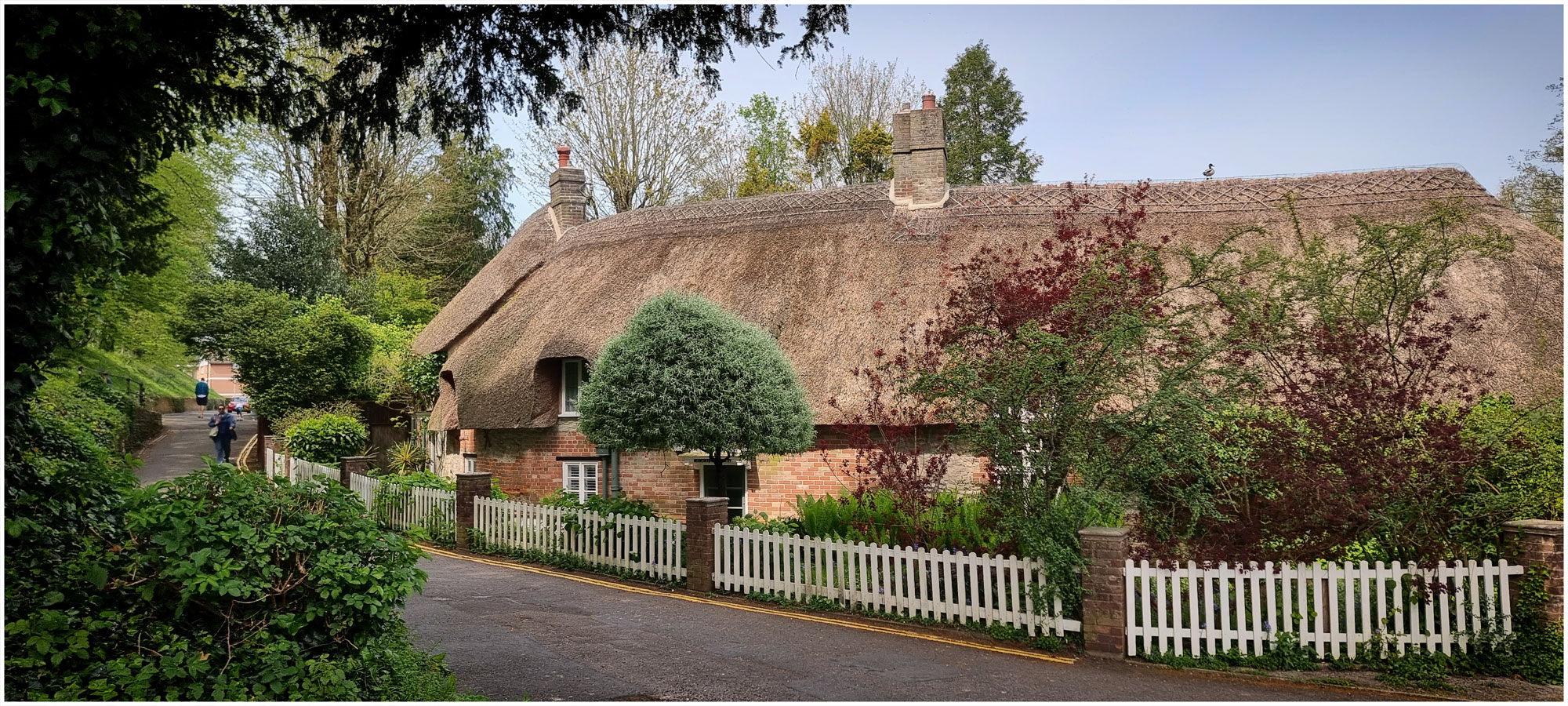
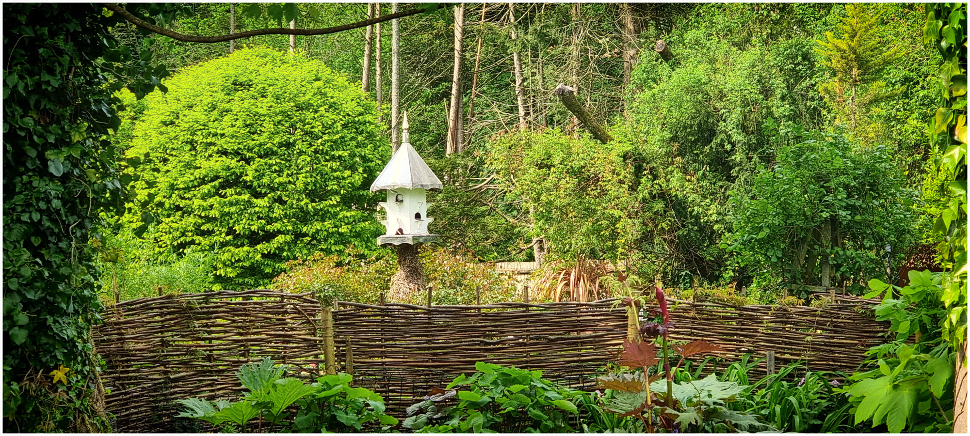
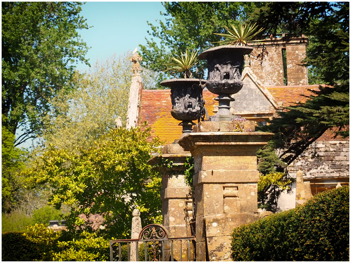
Athelhampton Hall, a 15th century manor house, was purchased in 1891 by Alfred Cart de Lafontaine. He commissioned Francis Inigo Thomas to create new gardens. He designed a series of linked gardens with ponds, ham stoned walls and raised terraces which have been maintained and improved over the centuries.
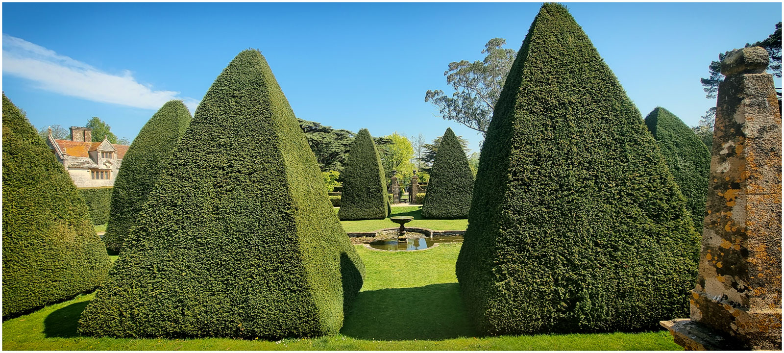
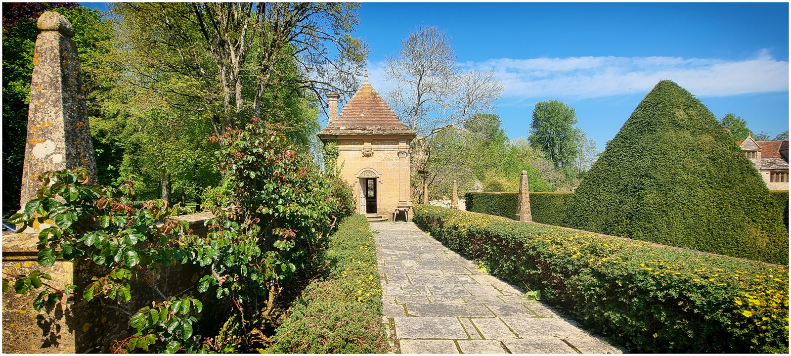
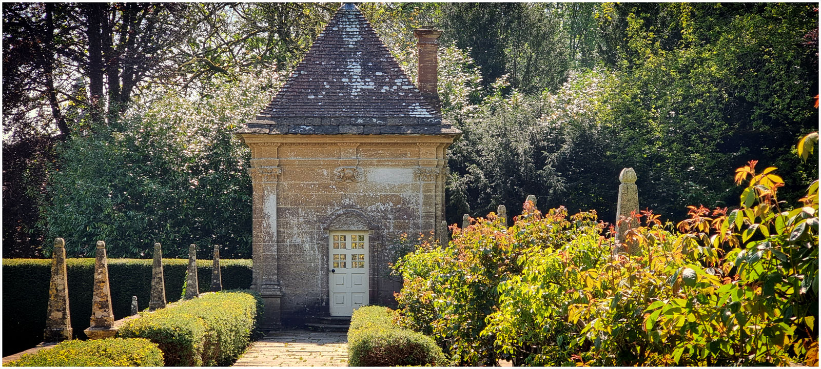
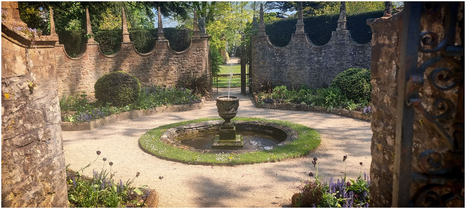
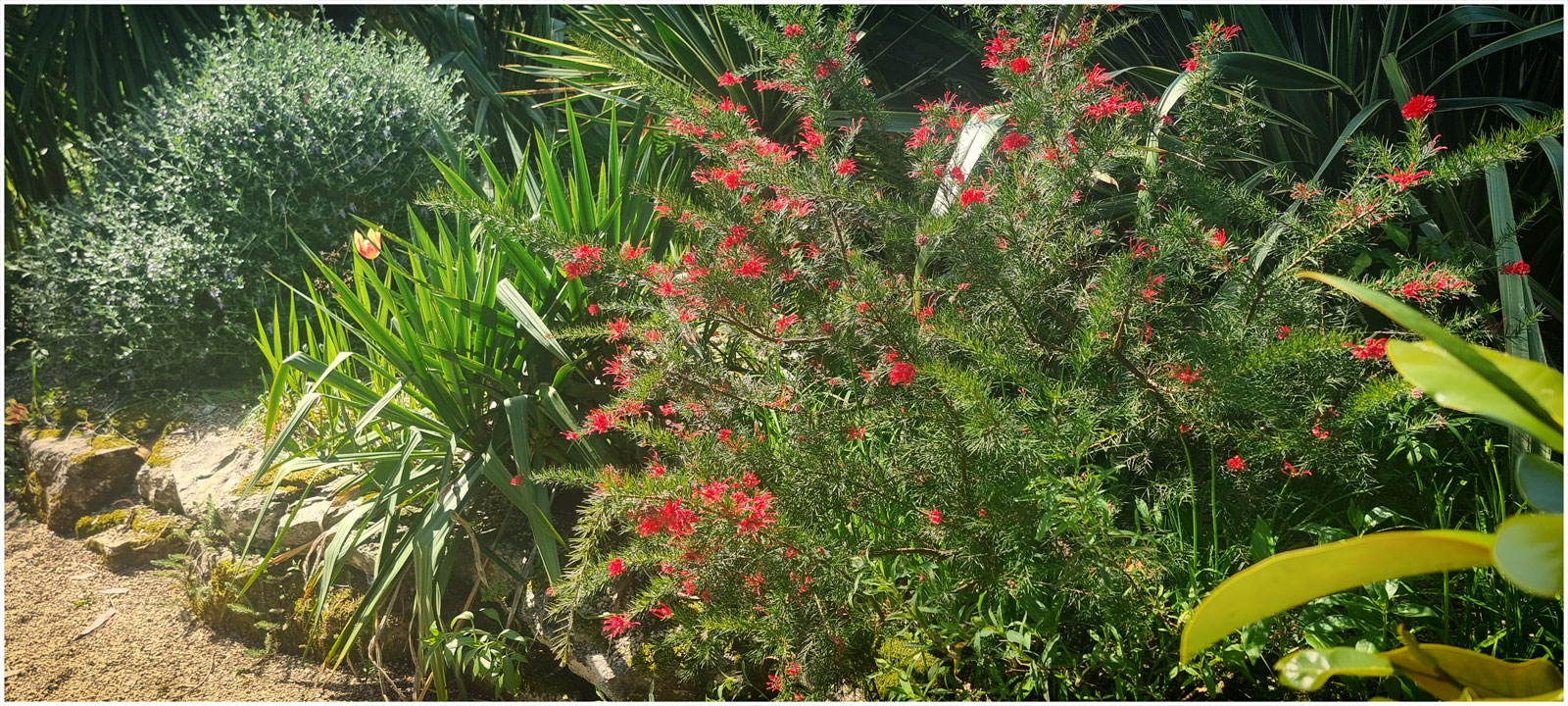
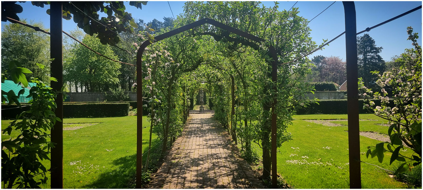
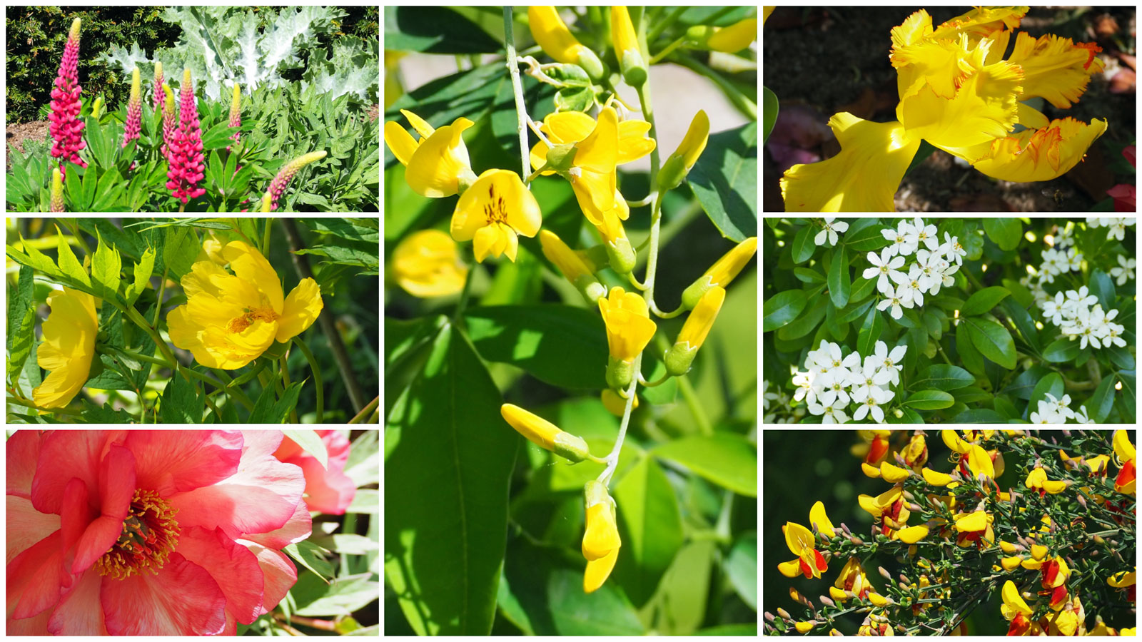
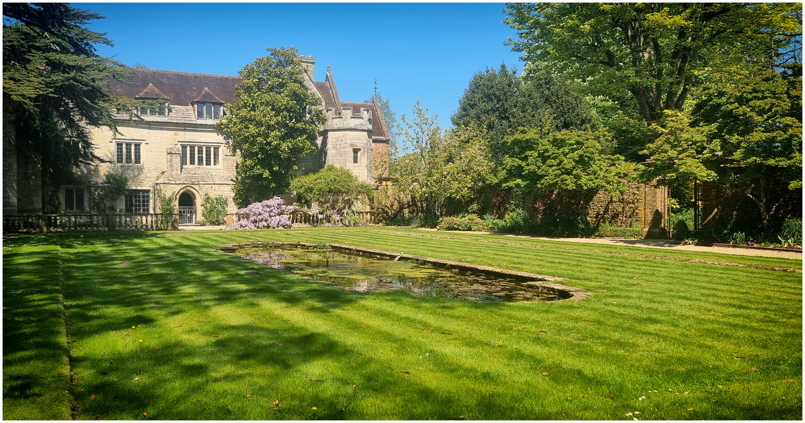
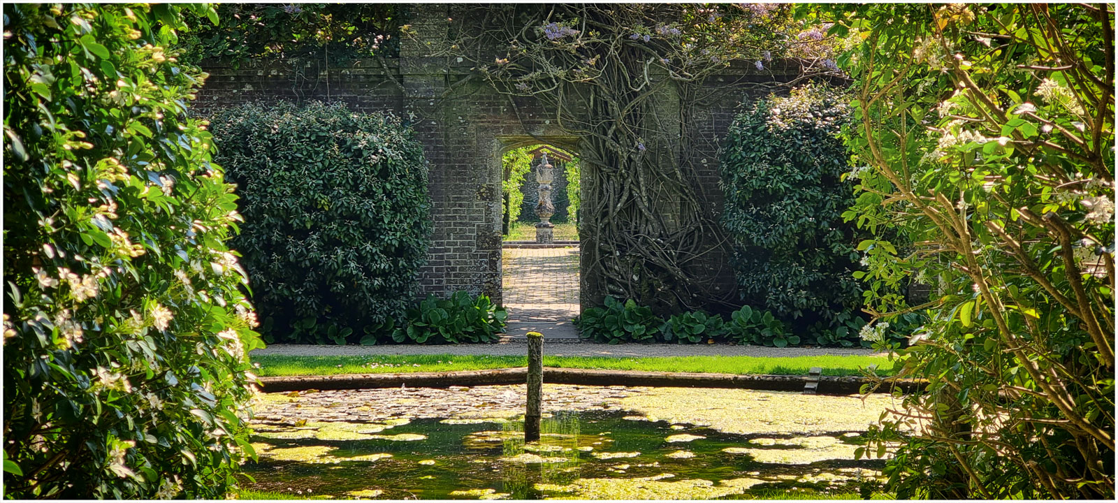
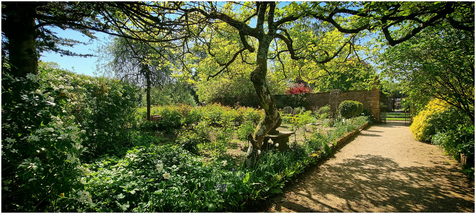
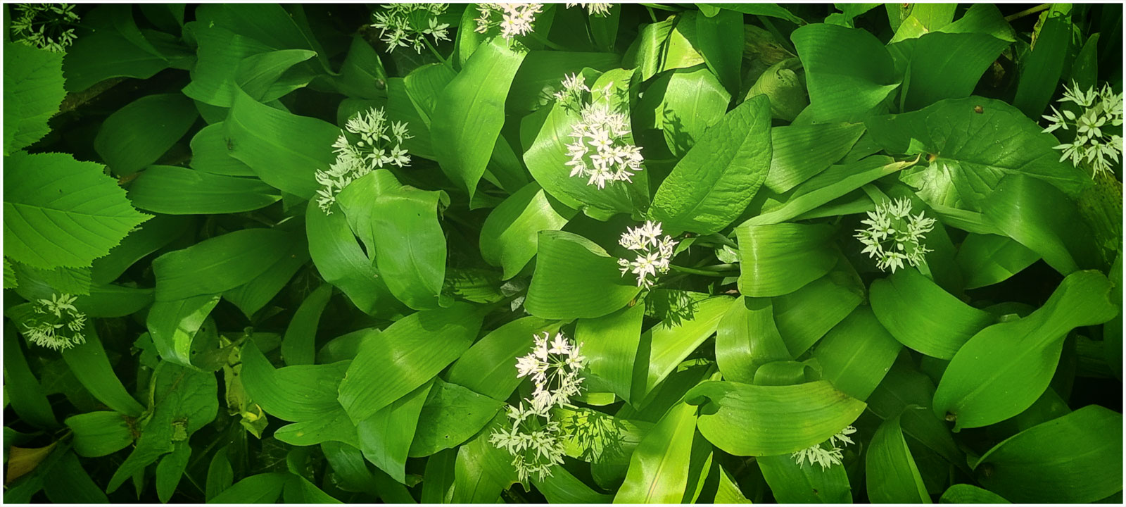
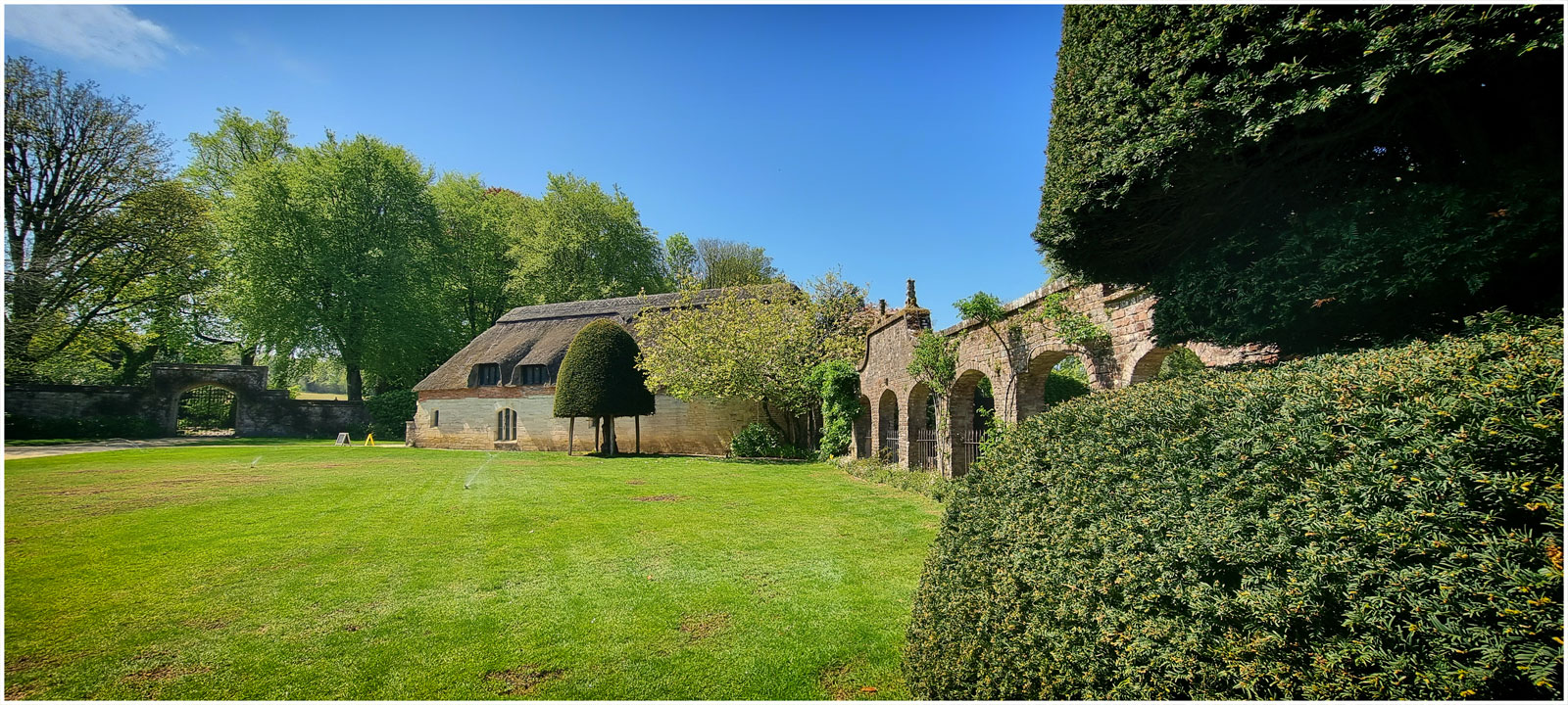
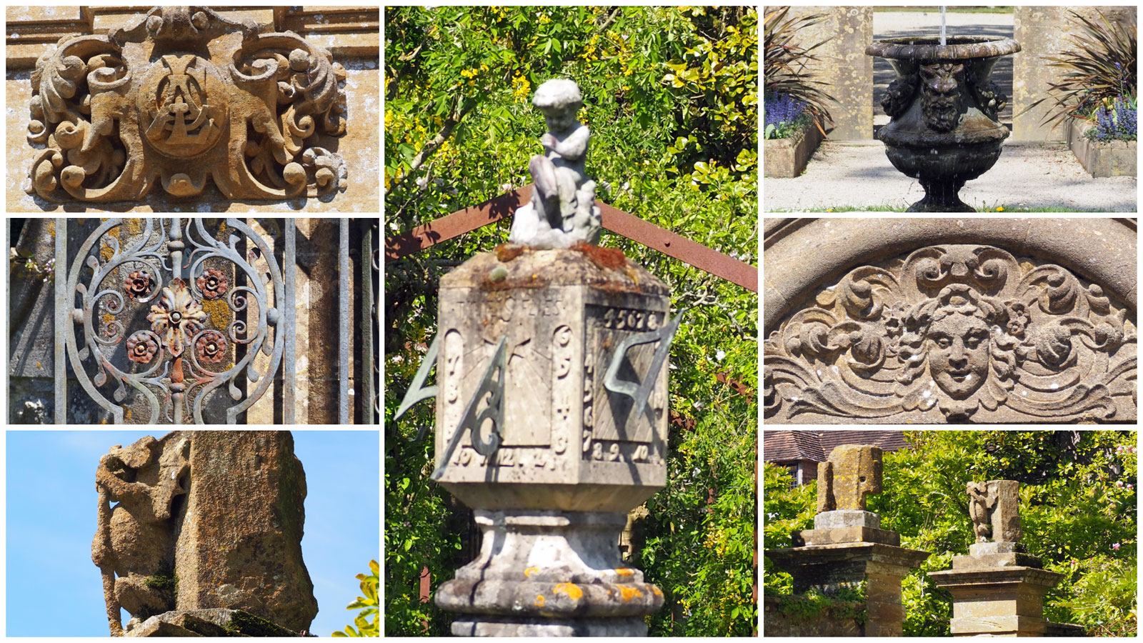
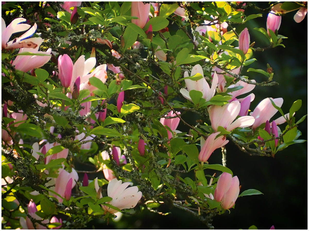
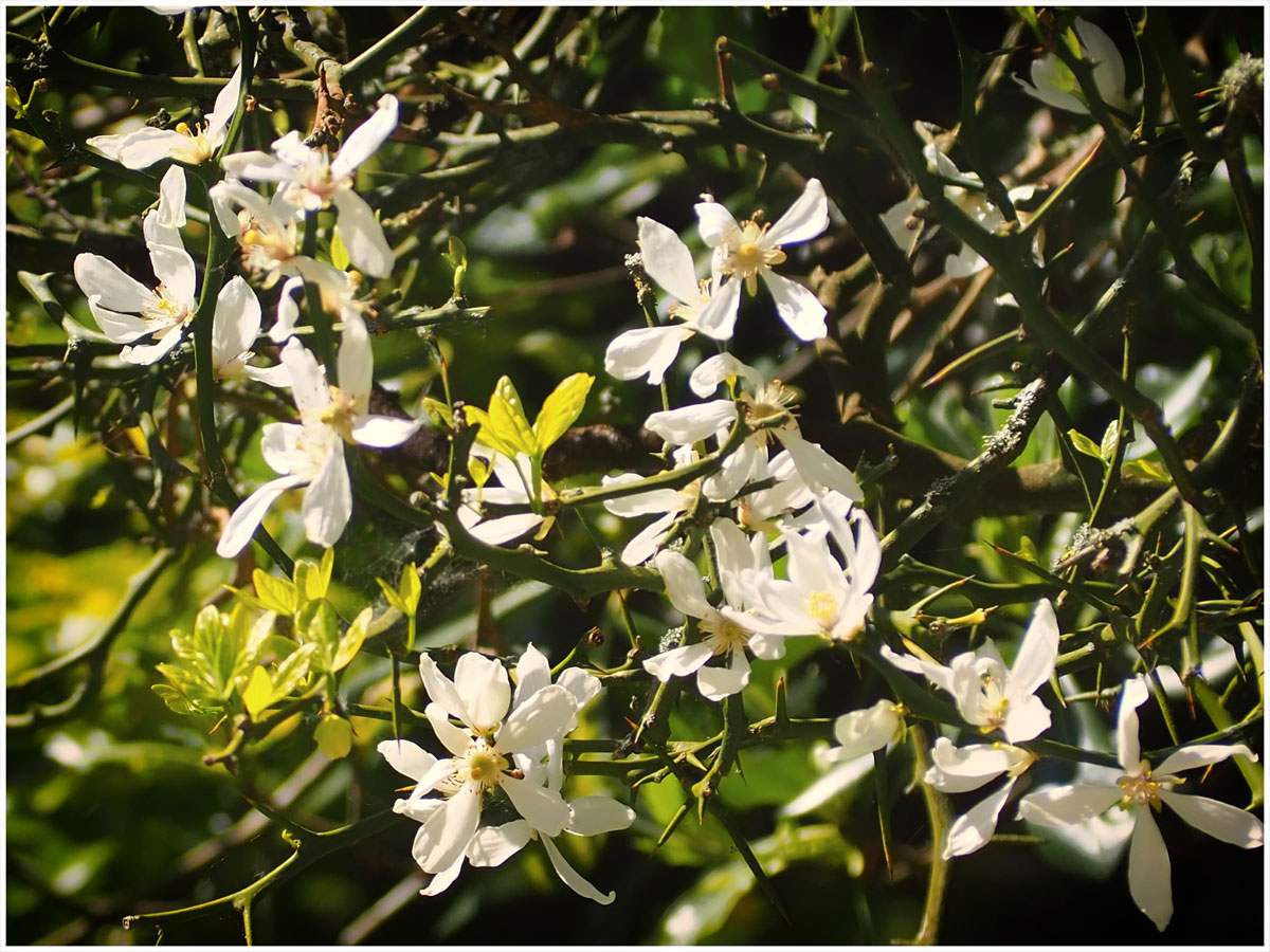
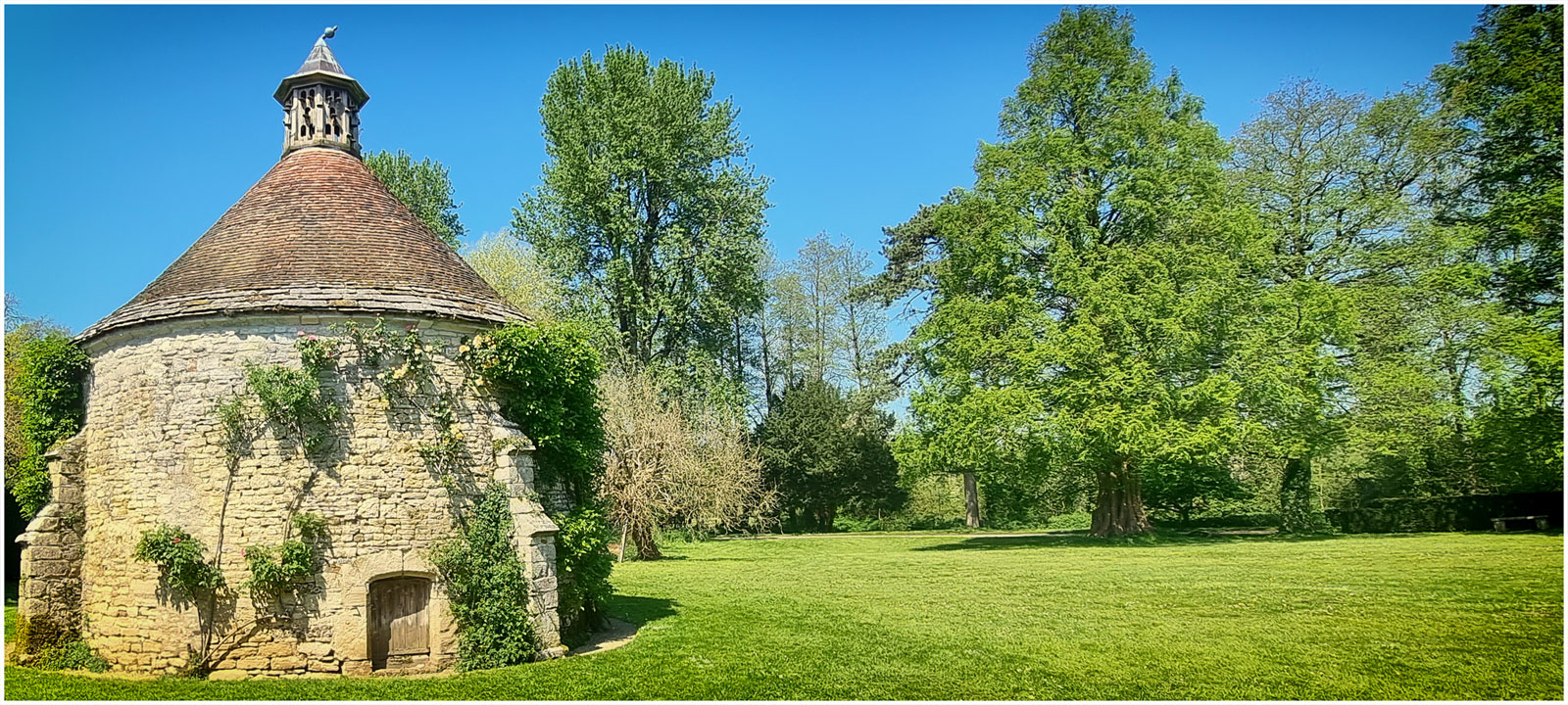
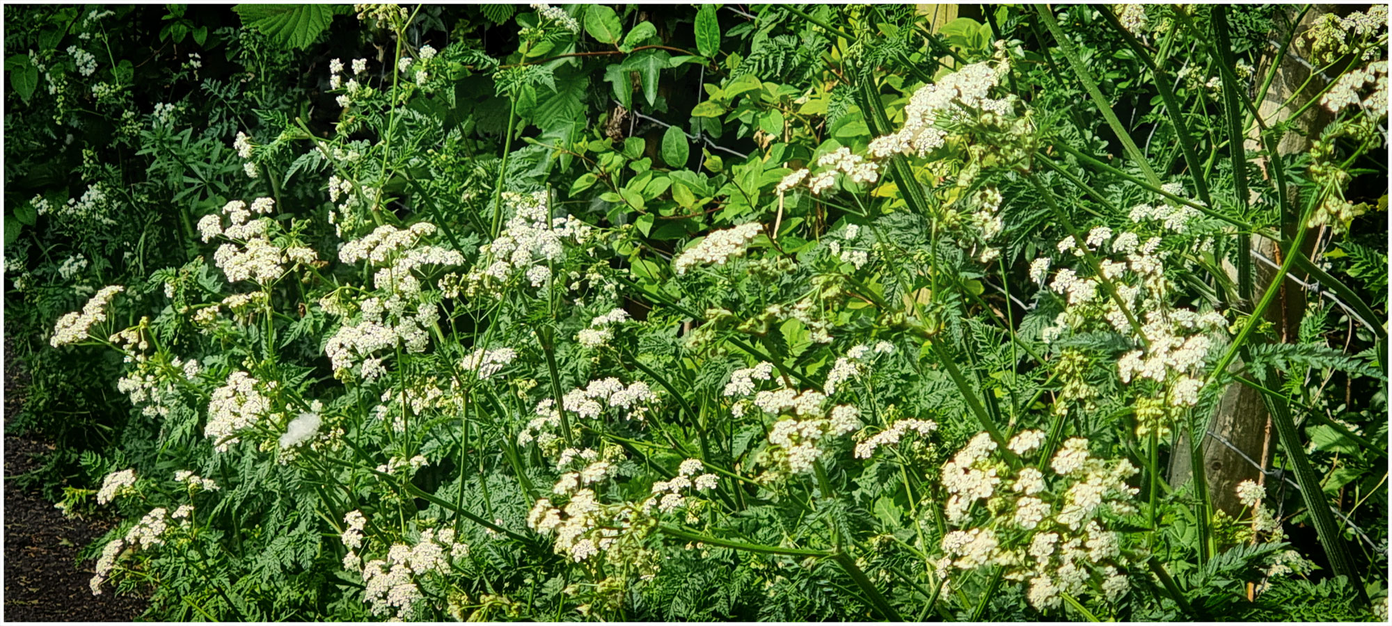
I had a very pleasant wander around the 5 acre grounds on a sunny day. I spent some time sitting in the Lion’s Mouth Garden with a book, relaxing in the sunshine with just birdsong before continuing my wander. I finished with a very nice lunch in the Coach House restaurant. The Tudor house is open for visiting.
Athelhampton House & Gardens
Puddletown
Dorchester
DT2 7LG