
Wordless Wednesday
Images from my travels
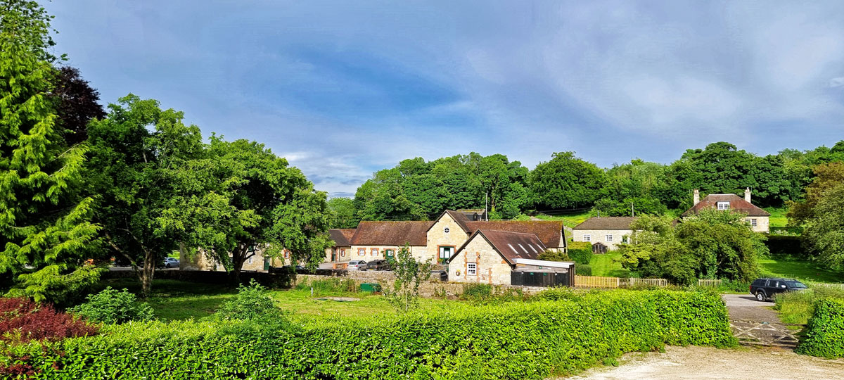
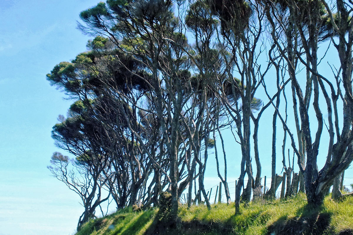
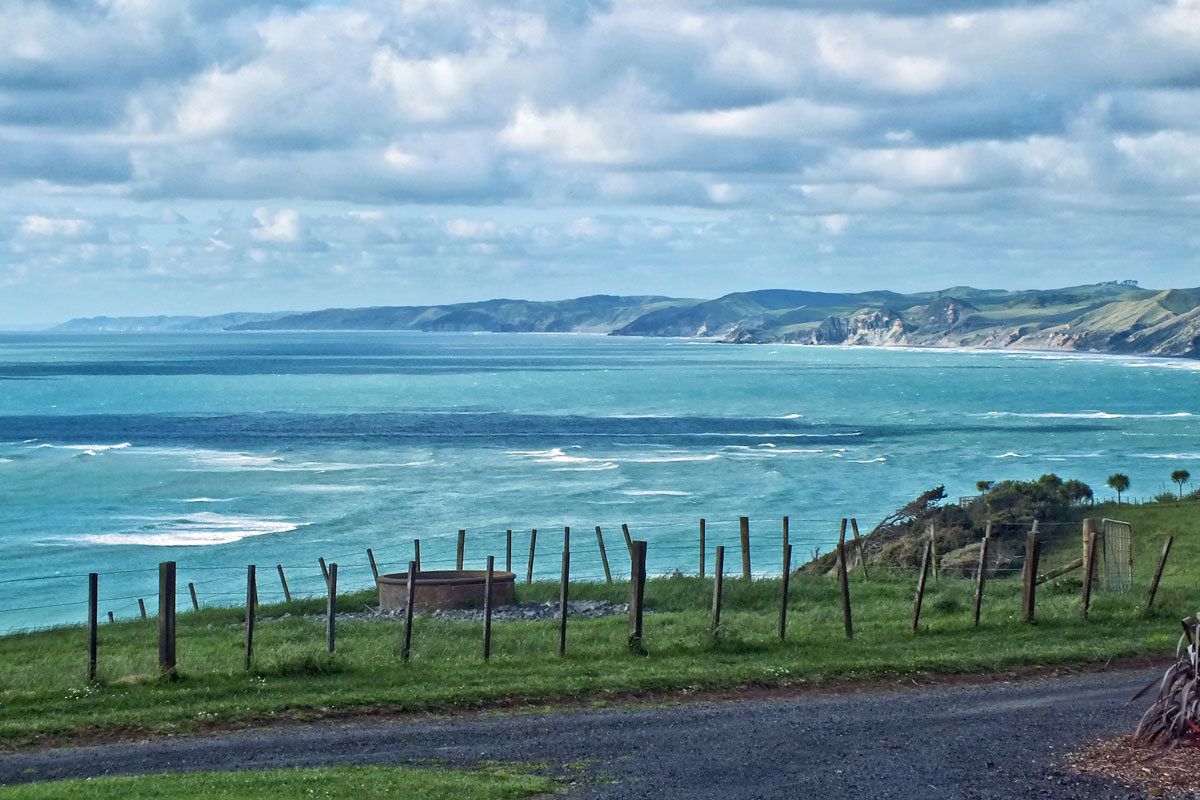
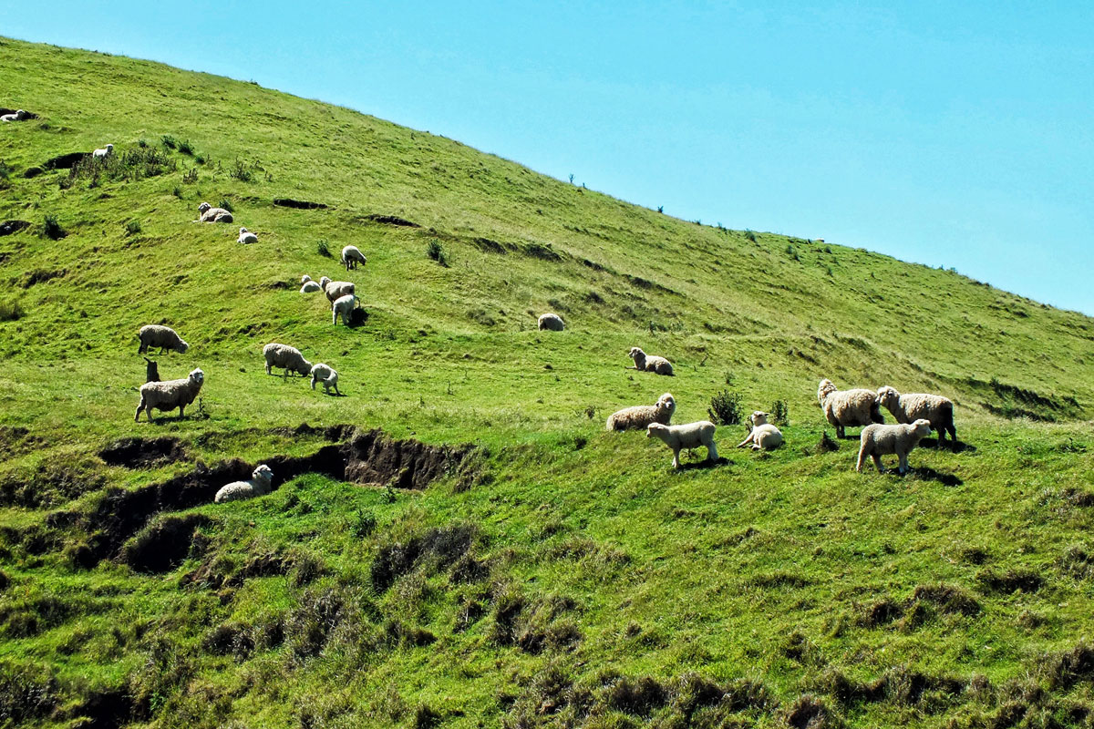
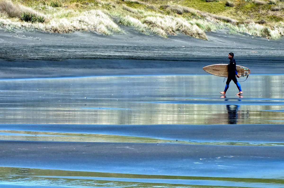
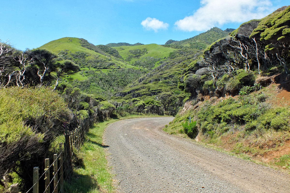
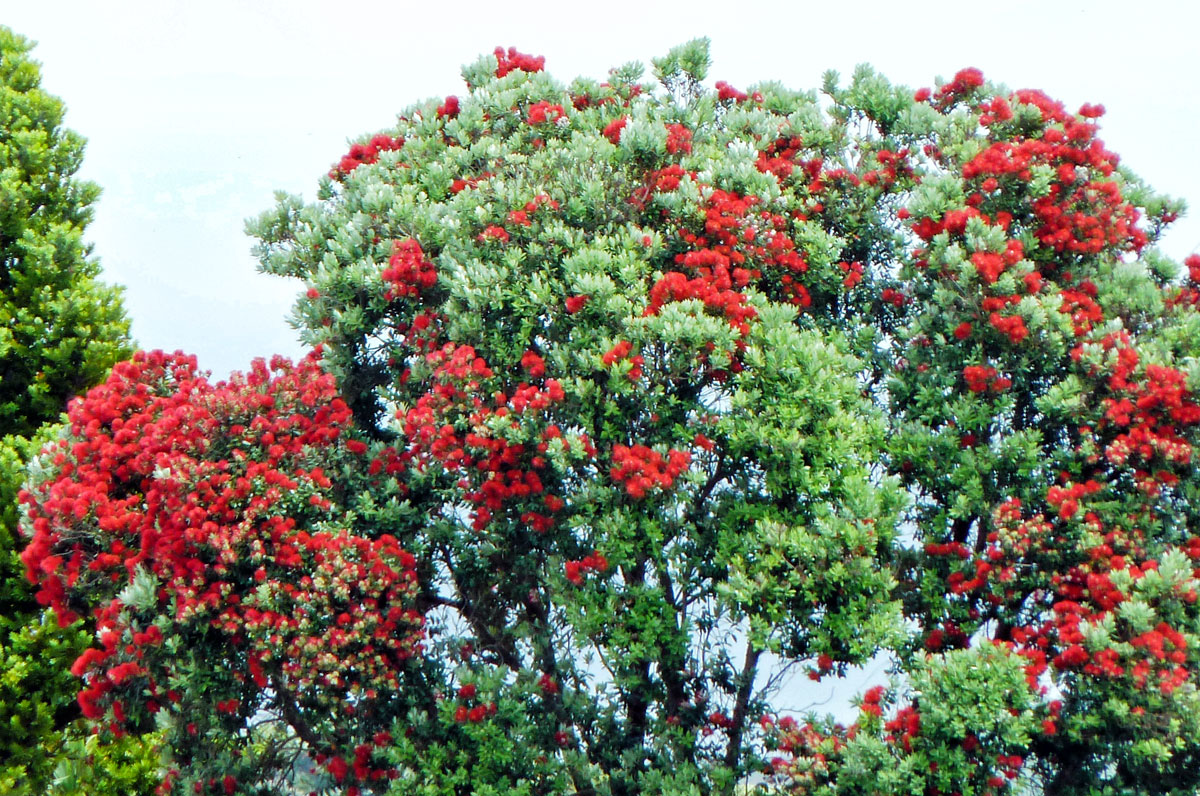
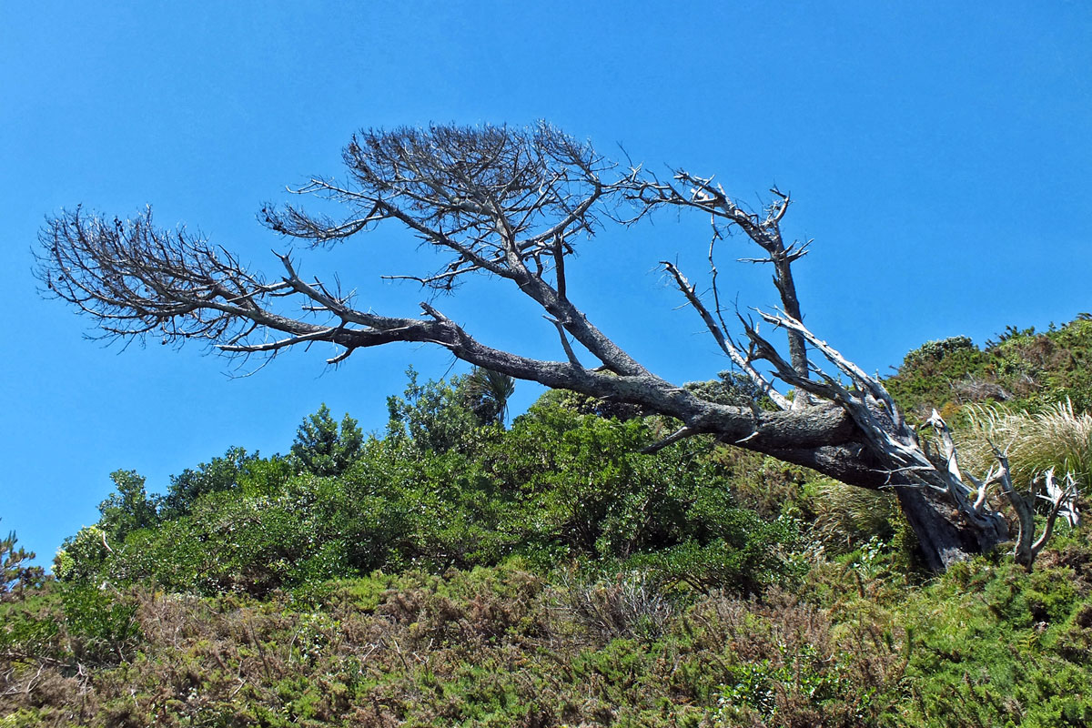
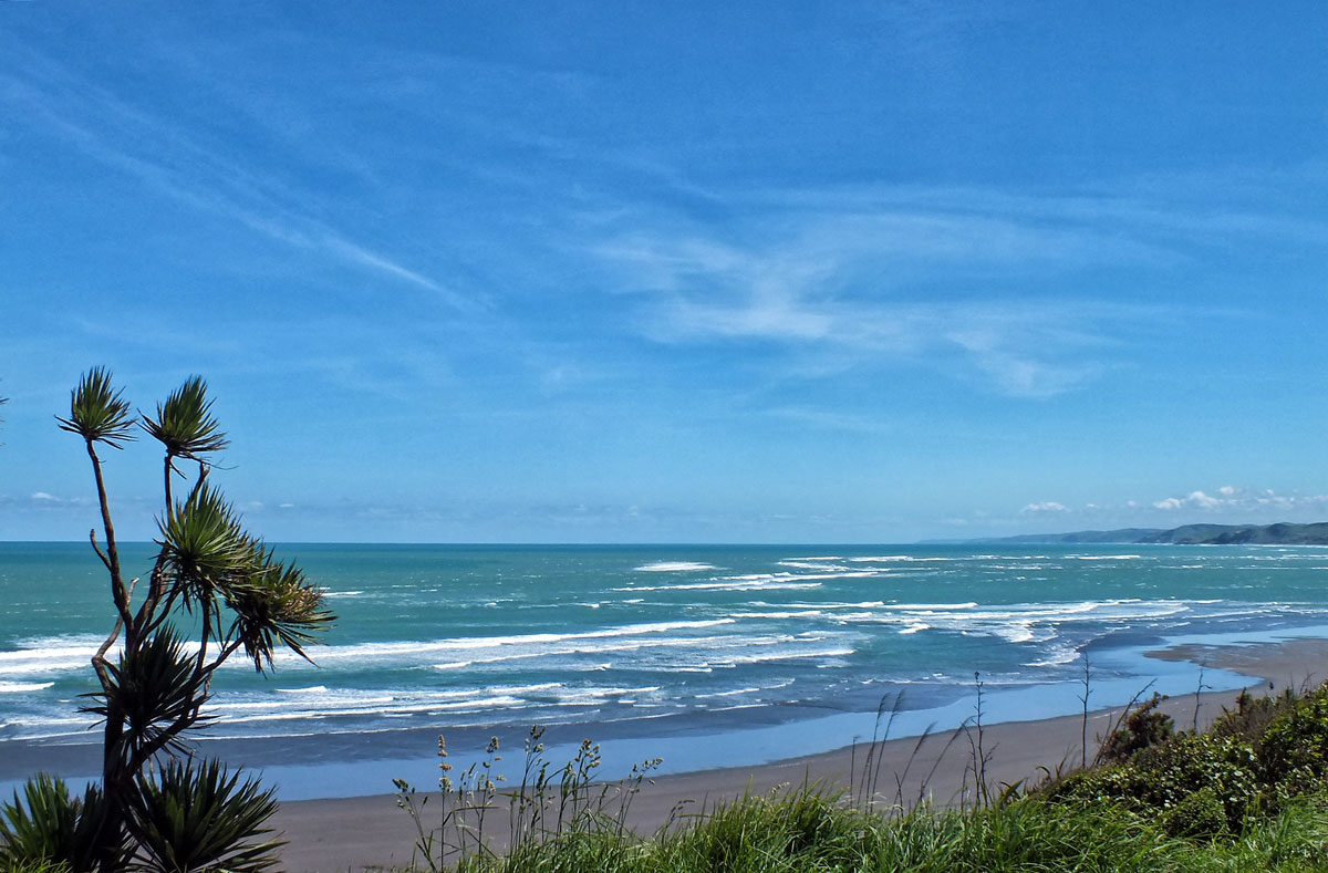
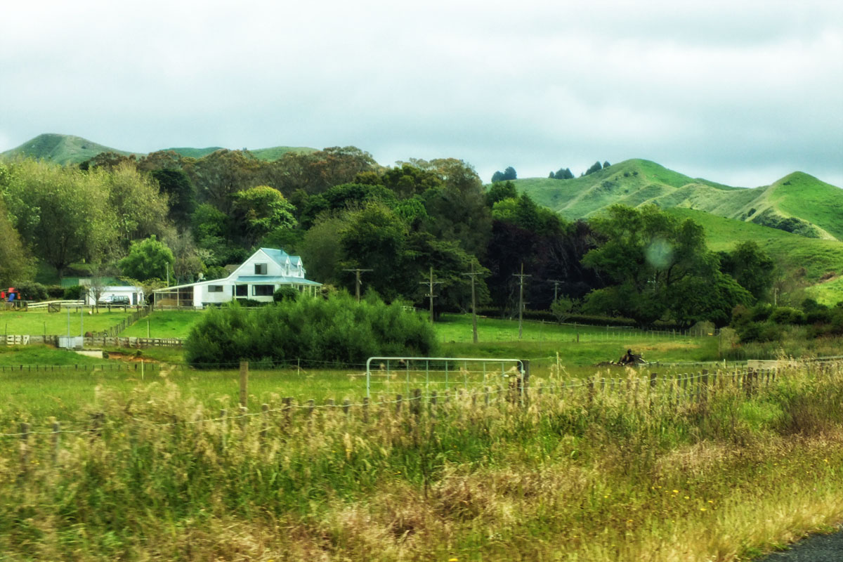
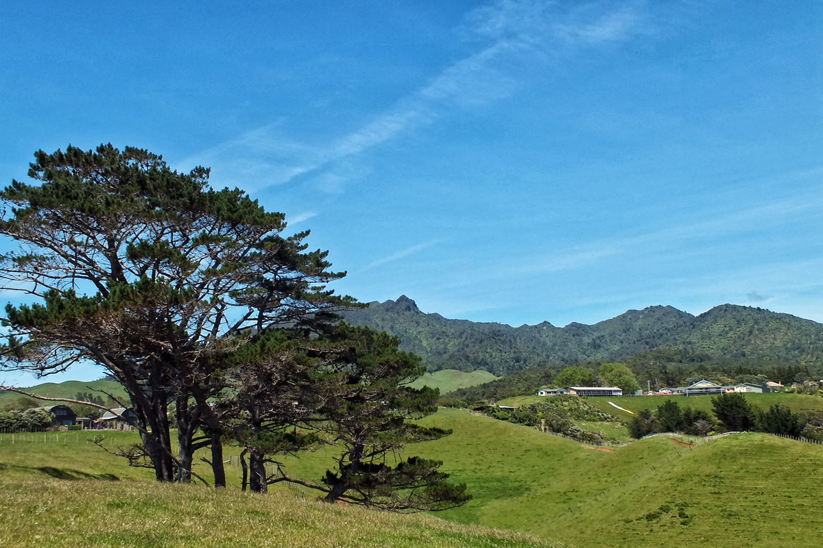
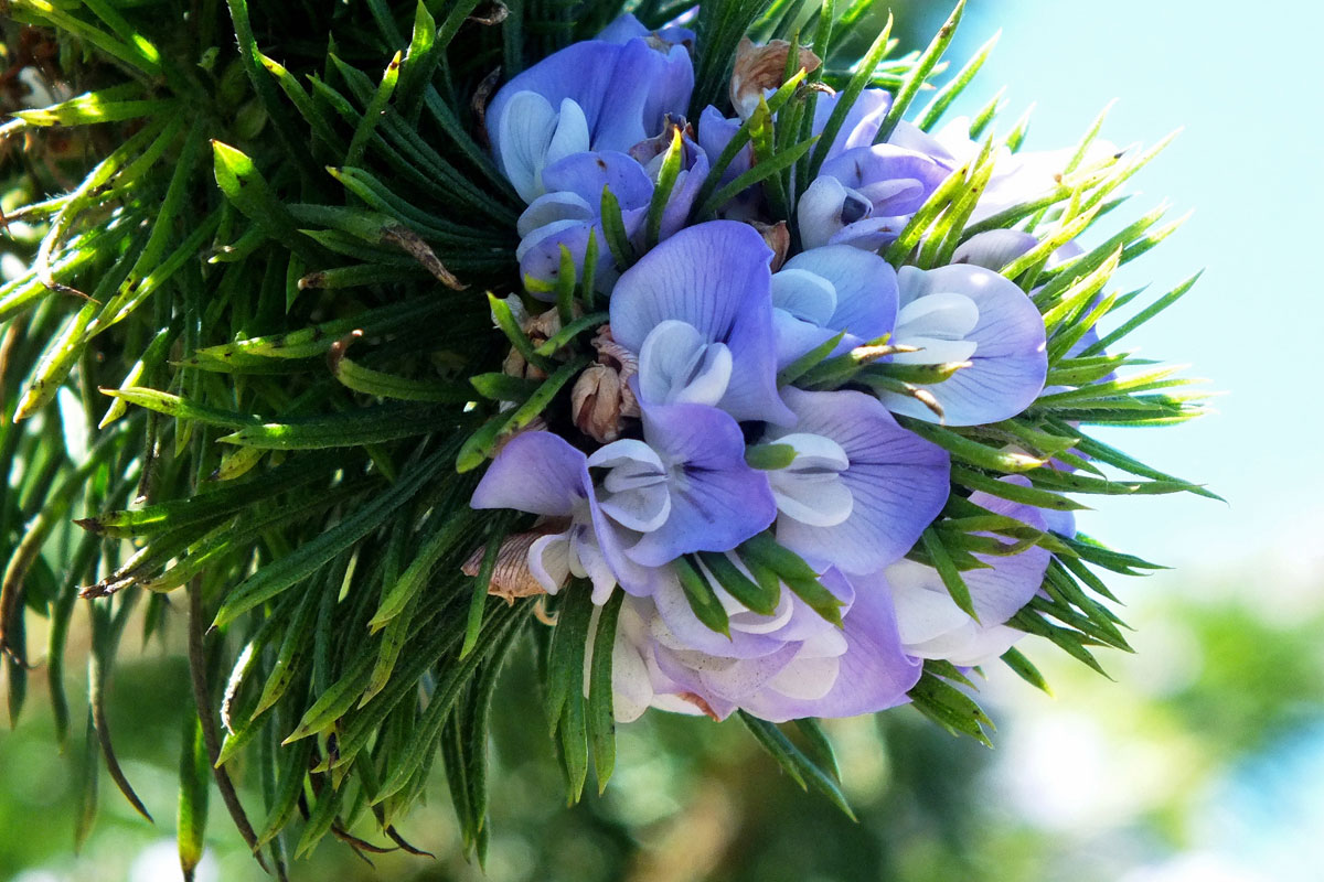
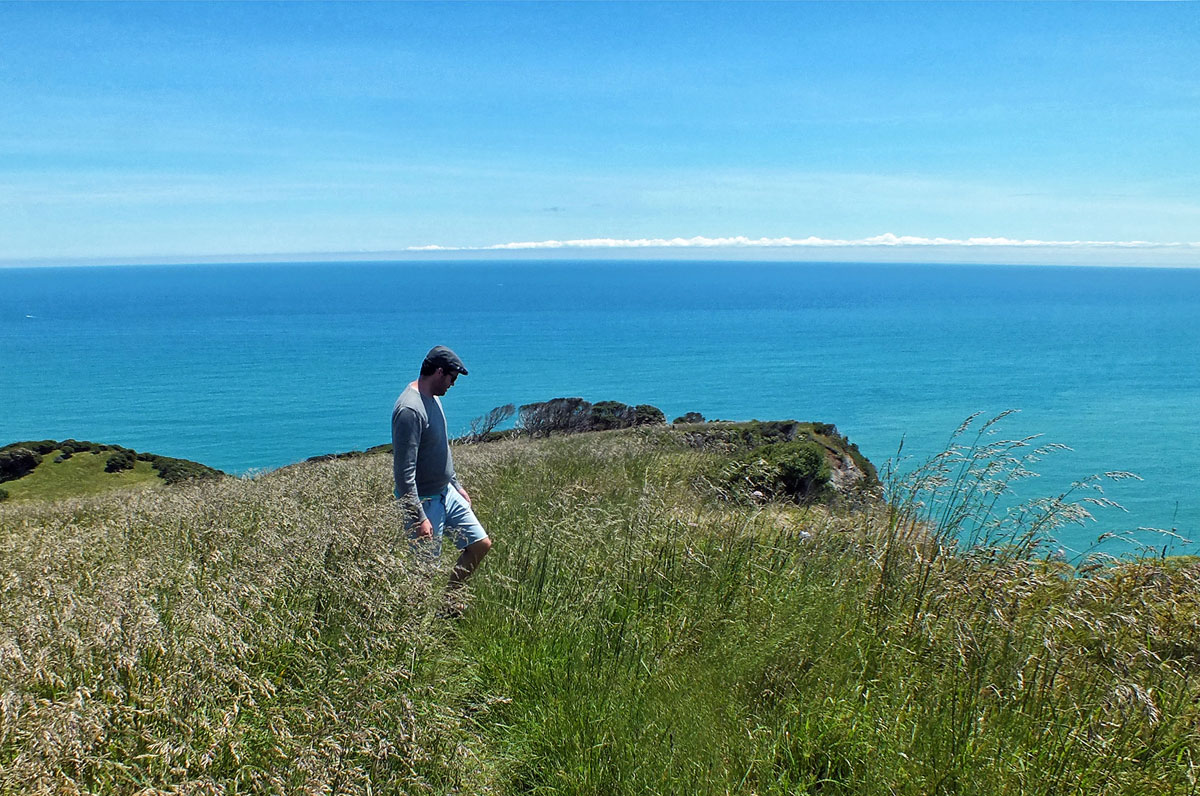
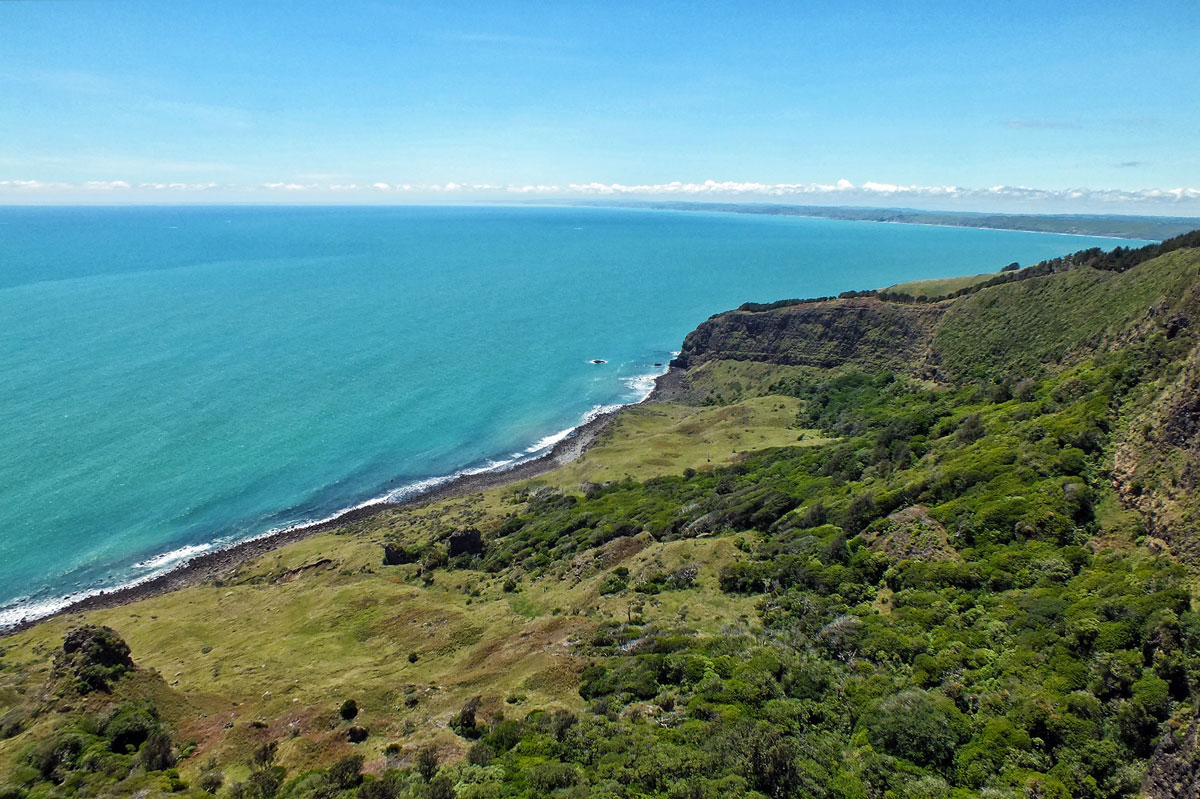
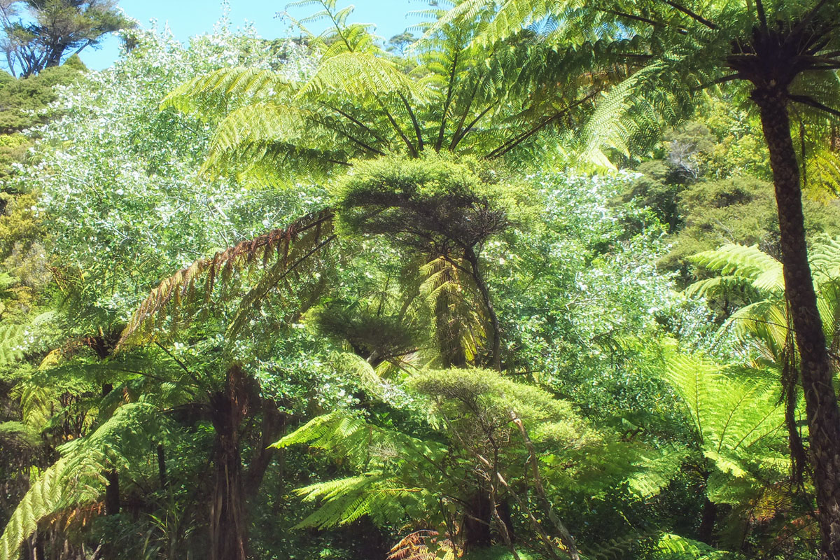
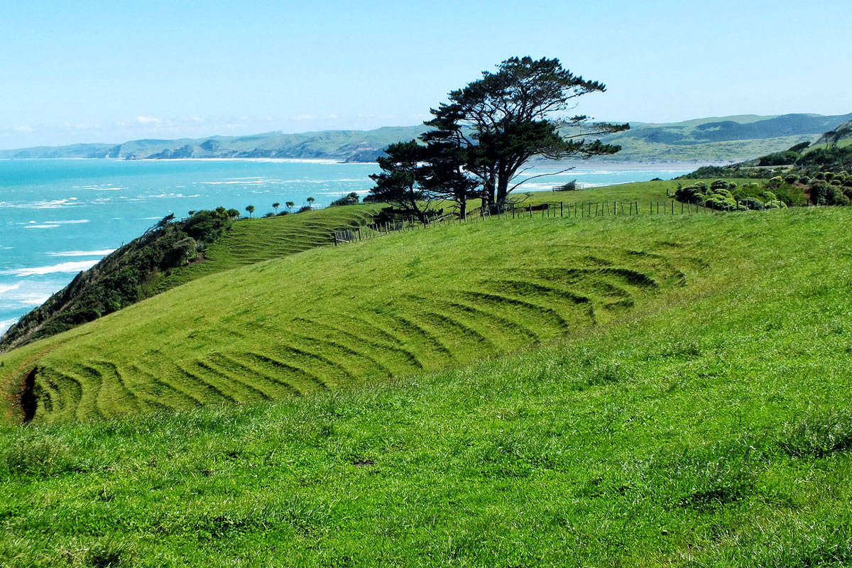
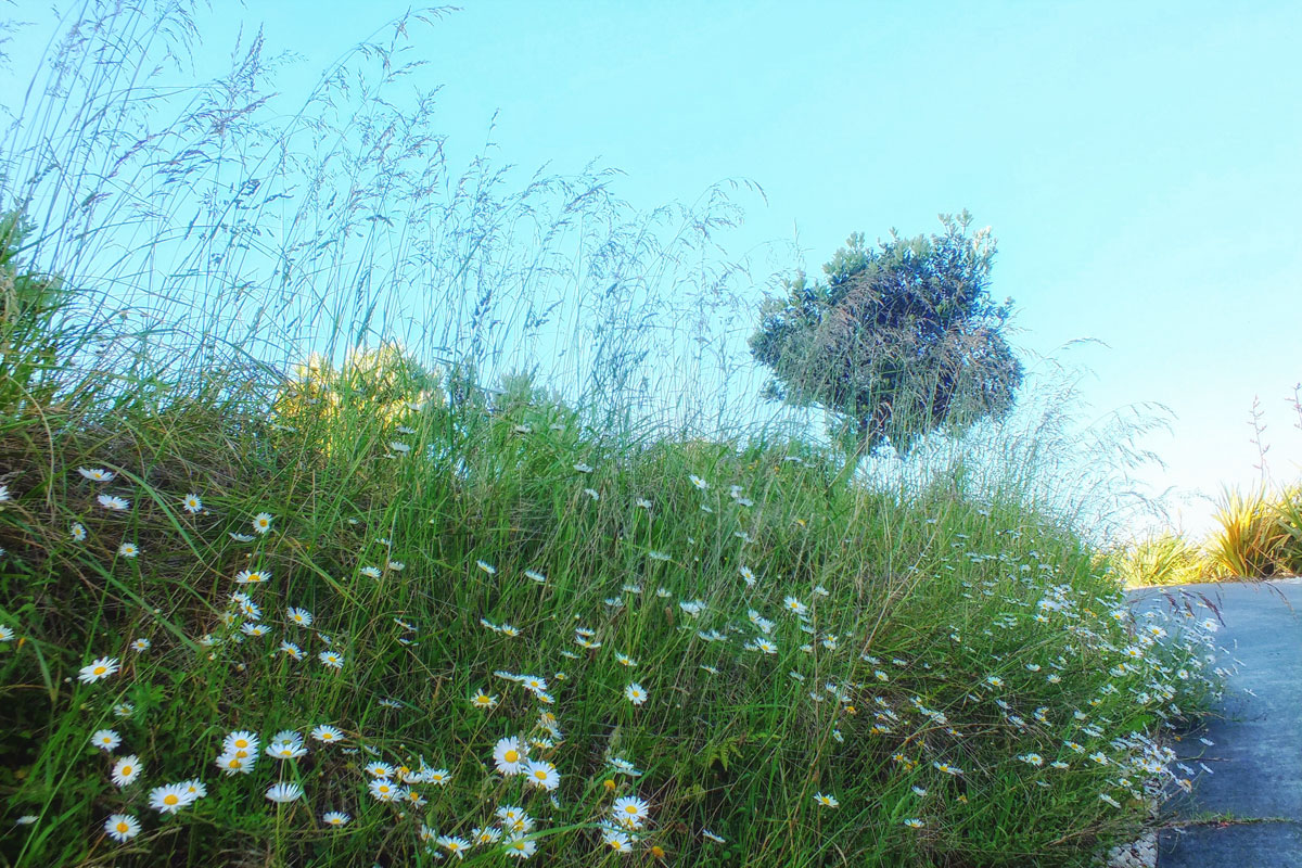
For my final postcards I am going to revisit New Zealand. An all too brief visit almost 10 years ago and one which I had hoped to repeat, but my enthusiasm for long haul travel has very much diminished over the years. My overall impressions were the colours of green and blue, rounded hills in the Waikato region, wonderful trees often bent out of shape by the winds, black sand, tree ferns, the long white clouds and excellent coffee. No words this time, just pictures.
This is my last postcard for now. I hope you have enjoyed my catch up with places I have visited but not had time to blog about. And if you want to see more then please look under the destinations or road trips on the menu.
For my final postcards I am going to revisit New Zealand. An all too brief visit almost 10 years ago and one which I had hoped to repeat, but my enthusiasm for long haul travel has very much diminished over the years. My overall impressions were the colours of green and blue, rounded hills in the Waikato region, wonderful trees often bent out of shape by the winds, black sand, tree ferns, the long white clouds and excellent coffee. No words this time, just pictures.
[Leaf peeping is an informal term in the United States and Canada for the activity in which people travel to view and photograph the fall foliage in areas where leaves change colours in autumn, particularly in northern New England]
When I was teaching it meant holidays could only be taken during the school holidays when it was more expensive and busy. And I couldn’t tag on to the OH’s conferences either. Which is why during one October half term we decided to do a fly drive holiday to the eastern side of the USA and do a spot of leaf peeping.
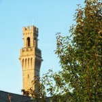
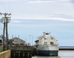
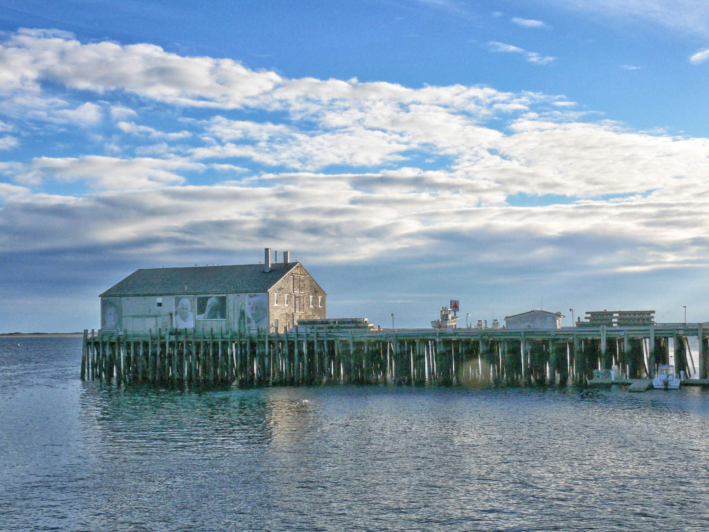
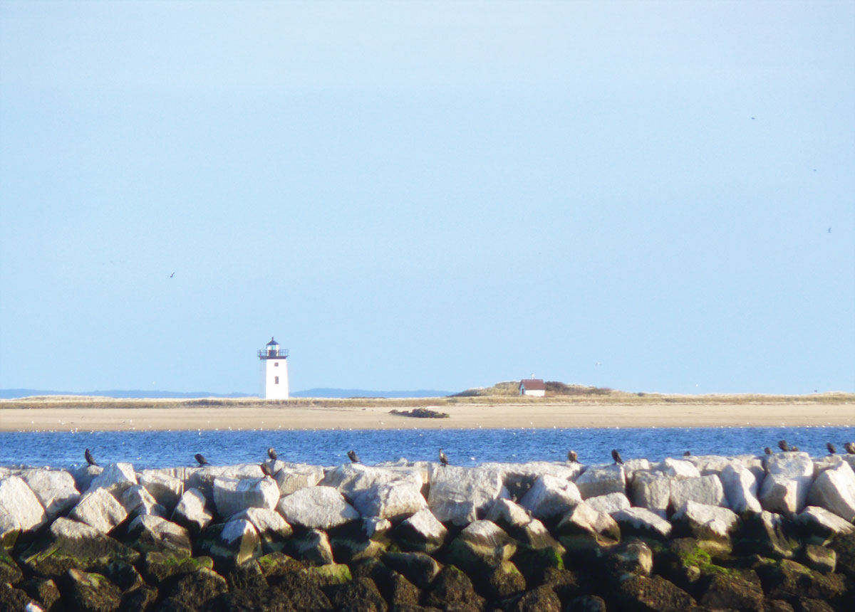
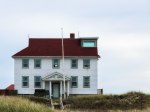
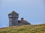
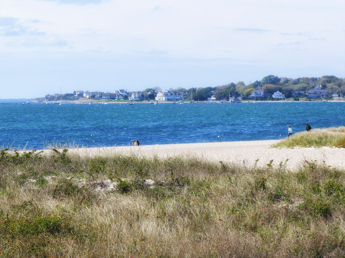
is a New England town located at the extreme tip of Cape Cod in Barnstable County, Massachusetts. When we arrived there the weather had improved and we stopped to take a walk around what is quite a quirky little town, with a lovely harbour. Often called “P-town” or “Ptown”, the locale is known as a vacation destination for its beaches, harbour, artists and tourist industry.
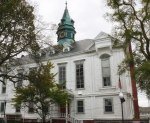

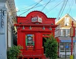


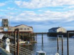
Interestingly there was a strong Portuguese heritage (mainly immigrants from the Azores) whose families fished the waters off Cape Cod for over 200 years, built a major fish packing and distribution industry and made an important contribution to the history and culture of Provincetown. There was an art installation on one of the wharfs when we were there, but I imagine that has long gone due to the weather.
Unfortunately we didn’t visit the Pilgrim Monument and Museum which allows you to walk up the tower for spectacular views. I guess we were just all walked out by then.
We ate fish and chips in a café on Fisherman’s Wharf before setting off back along Route 6¹ to our hotel in Sandwich. It was getting dark as we approached the more urban areas and I couldn’t understand why oncoming cars kept flashing their lights at me, until I finally realised that my car was on full beam! The joys of a hire car.
¹U.S. Route 6 (US 6), also called the Grand Army of the Republic Highway, a name that honours an American Civil War veterans association, runs east-northeast from Bishop, California to PROVINCETOWN, Massachusetts. From 1936 to 1964, it had its western terminus at Long Beach, California. During this time, US 6 was the longest highway in the country!
This is the last of the leaf peeping trip. I hope you enjoyed the scenery as much as I did.
[Leaf peeping is an informal term in the United States and Canada for the activity in which people travel to view and photograph the fall foliage in areas where leaves change colours in autumn, particularly in northern New England]
When I was teaching it meant holidays could only be taken during the school holidays when it was more expensive and busy. And I couldn’t tag on to the OH’s conferences either. Which is why during one October half term we decided to do a fly drive holiday to the eastern side of the USA and do a spot of leaf peeping.
We only had a couple of nights on Cape Cod as I had decided I would rather be closer to the airport on the Friday night for our Saturday flight back to the UK. There were so many building and roadworks around the airport I wasn’t taking any chances.
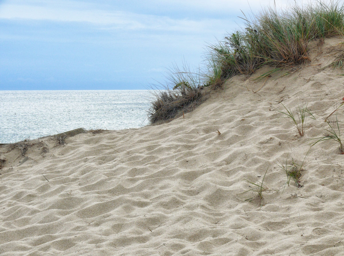
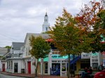
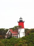
Cape Cod has always fascinated me. I don’t know whether it is the name or the shape of it looking like a scorpion tail, or the quaint villages, seafood shacks, lighthouses, ponds and miles of soft golden sandy ocean beaches and bays. Offshore islands like Nantucket and Martha’s Vineyard just sound so romantic. And of course all those English place names!
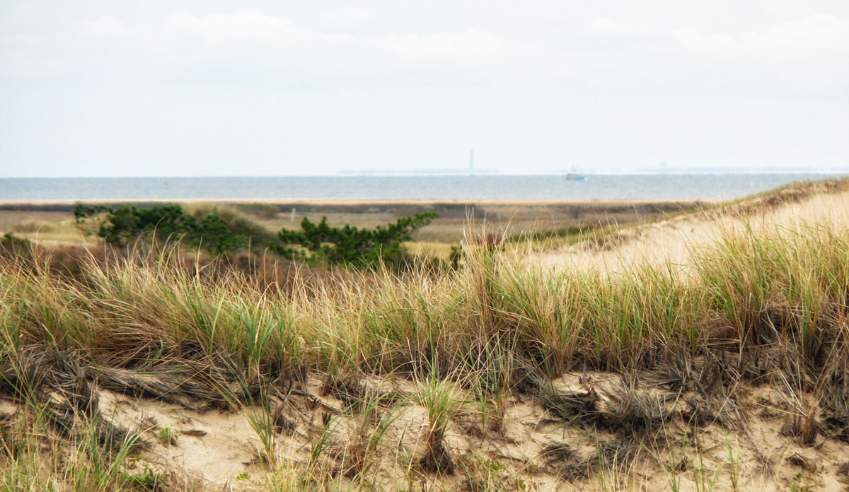
So on the first day we simply headed all the way up the State Highway (6) to Provincetown. Stopping off at various landmarks and beaches along the Cape Cod National Seashore. Seeing a lot of the natural beauty of the region disappearing led President Kennedy to sign a bill in August of 1961 protecting forty-three thousand acres of space from Chatham to Provincetown and preserving it as a National Park.
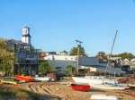
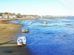
First stop was the boardwalk at Sandwich which leads out to Cape Cod Bay.
")
")
")
")
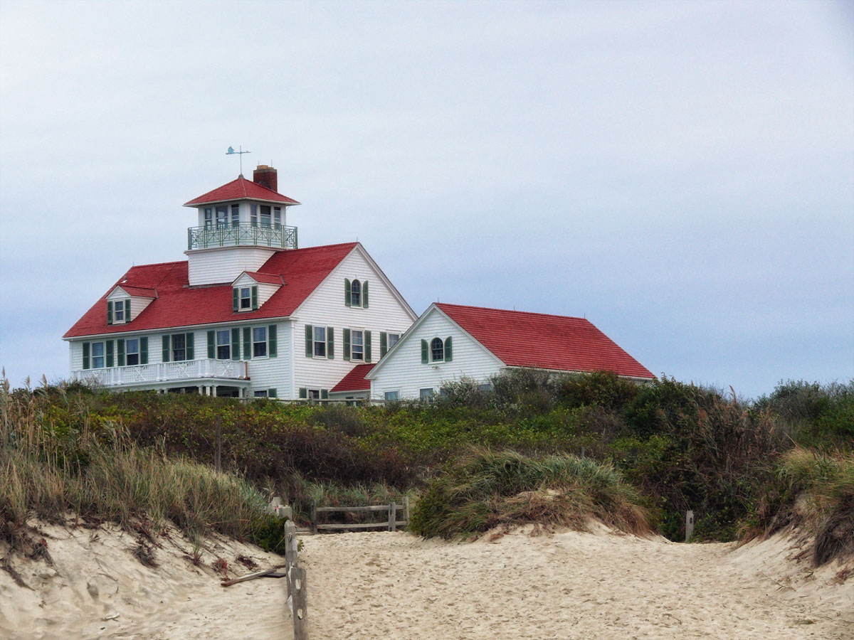
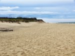
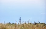
Then it was in the car to explore. Coast Guard beach was our first stop and is actually the site of the first landing of the Mayflower! They didn’t hang out here long before realising they were somewhat north of Virginia, so seeking a safe settlement site near the Hudson River they headed back out to sea to set a course southeast. Once the ship became enmeshed in the shoals off the coast of the cape, though, they turned back north and found safe harbour at what is now known as Provincetown where they remained for a month before setting sail for the mainland where they established the Plymouth colony.


 On the second day we spent it mostly along the Massachusetts Route (28) again stopping off at various points before heading back up to Boston in the late afternoon.
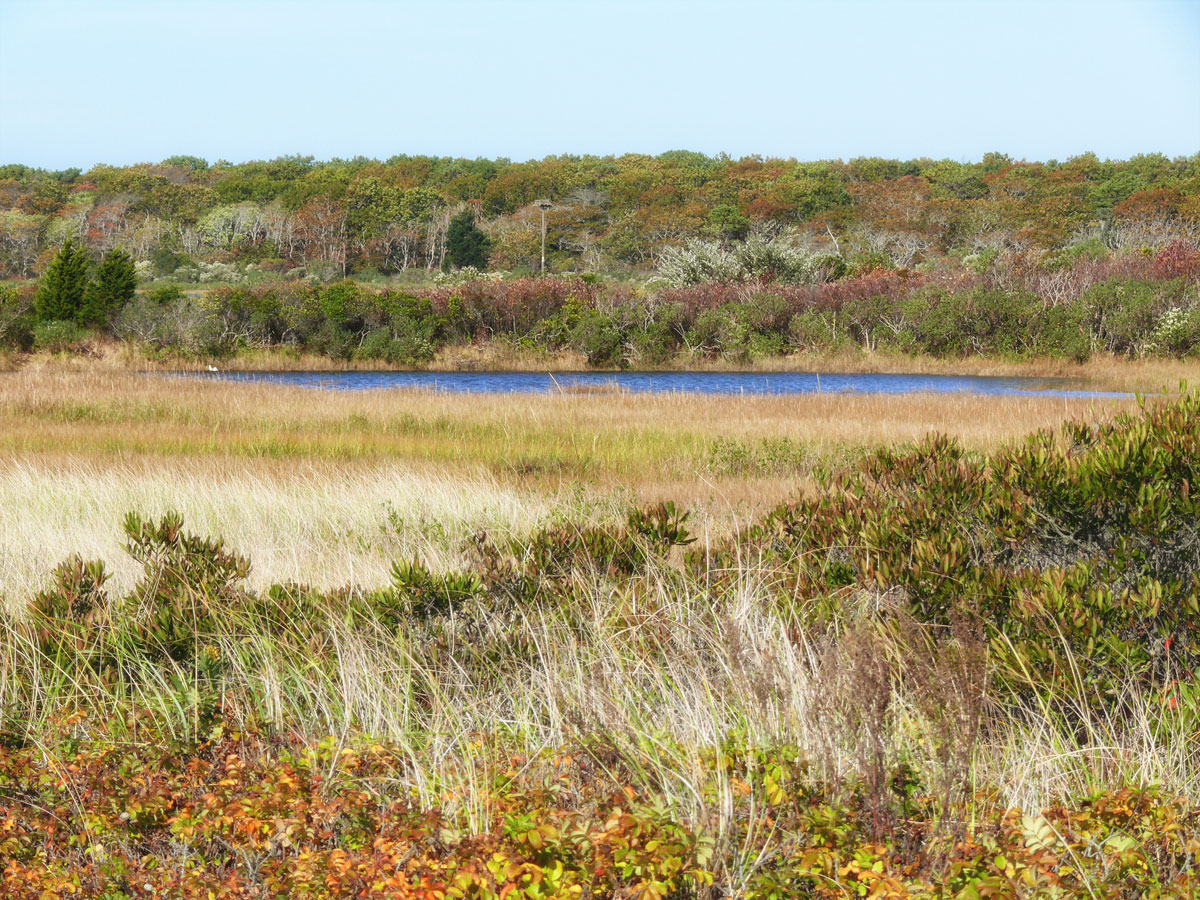
The weather wasn’t great on our first day though it improved towards the late afternoon and I think perhaps September would be a better month to visit this region when it’s not so busy with summer holidaymakers, but whilst the weather is still warm.
My final post of Cape Cod will be a look at Provincetown itself.


