Leaf Peeping in New England (3)
[Leaf peeping is an informal term in the United States and Canada for the activity in which people travel to view and photograph the fall foliage in areas where leaves change colours in autumn, particularly in northern New England]
When I was teaching it meant holidays could only be taken during the school holidays when it was more expensive and busy. And I couldn’t tag on to the OH’s conferences either. Which is why during one October half term we decided to do a fly drive holiday to the eastern side of the USA and do a spot of leaf peeping.
New Hampshire Route 112 is a 56.39-mile-long east–west state highway in northern New Hampshire. The highway winds across the state, connecting Bath to Conway through the heart of the scenic and mountainous White Mountain National Forest. The Kancamagus Highway is a portion of NH Route 112 spanning east to west from Lincoln to Conway. The 34.5-mile drive is a recognised National Scenic Byway.
Our first day in the White Mountains was sunny and warm so we took the opportunity to drive from our hotel to Conway and to Bath. It’s a route that is well known as one of the best Fall Foliage viewing areas.
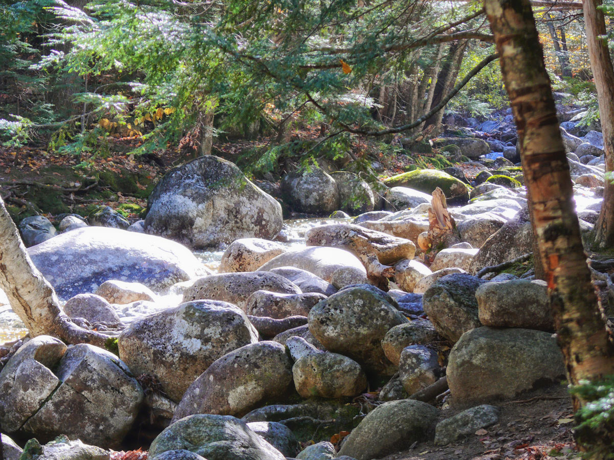
“The Kanc” takes you through a route cut through the White Mountain National Forest with breath-taking views of the White Mountains, the Swift River, Lower Falls, Rocky Gorge and Sabbaday Falls. There are no hotels or resorts or even gas (petrol) stations to spoil this wonderful landscape, though you’ll find them at either end of the Kanc and there are several camping grounds along the route as well as rest rooms.
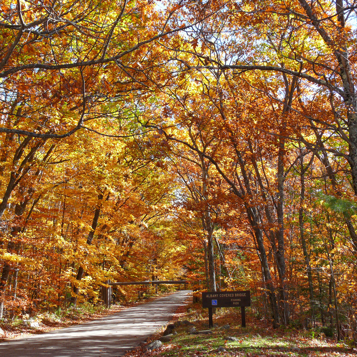
Albany Covered Bridge
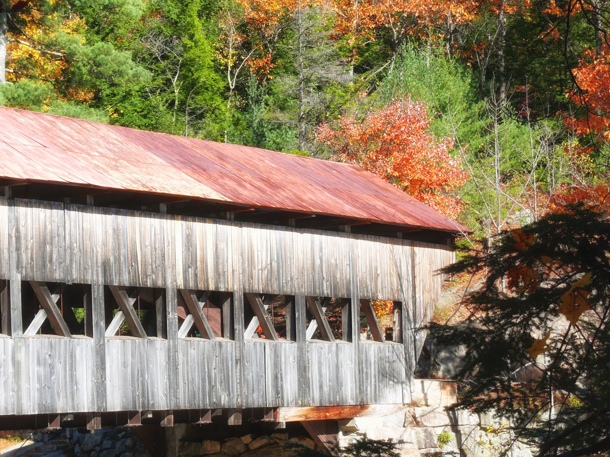
Built in 1858, the Albany Covered Bridge spans the Swift River. The bridge is 120 feet long. The construction is a Paddleford truss with added arches. The bridge leads to a camping ground but it should be noted that there is a 7’ 9” height restriction for vehicles using the bridge. And it is closed during the winter months to traffic. Several hiking trails can be found in the White Mountain National Forest area.
")
")
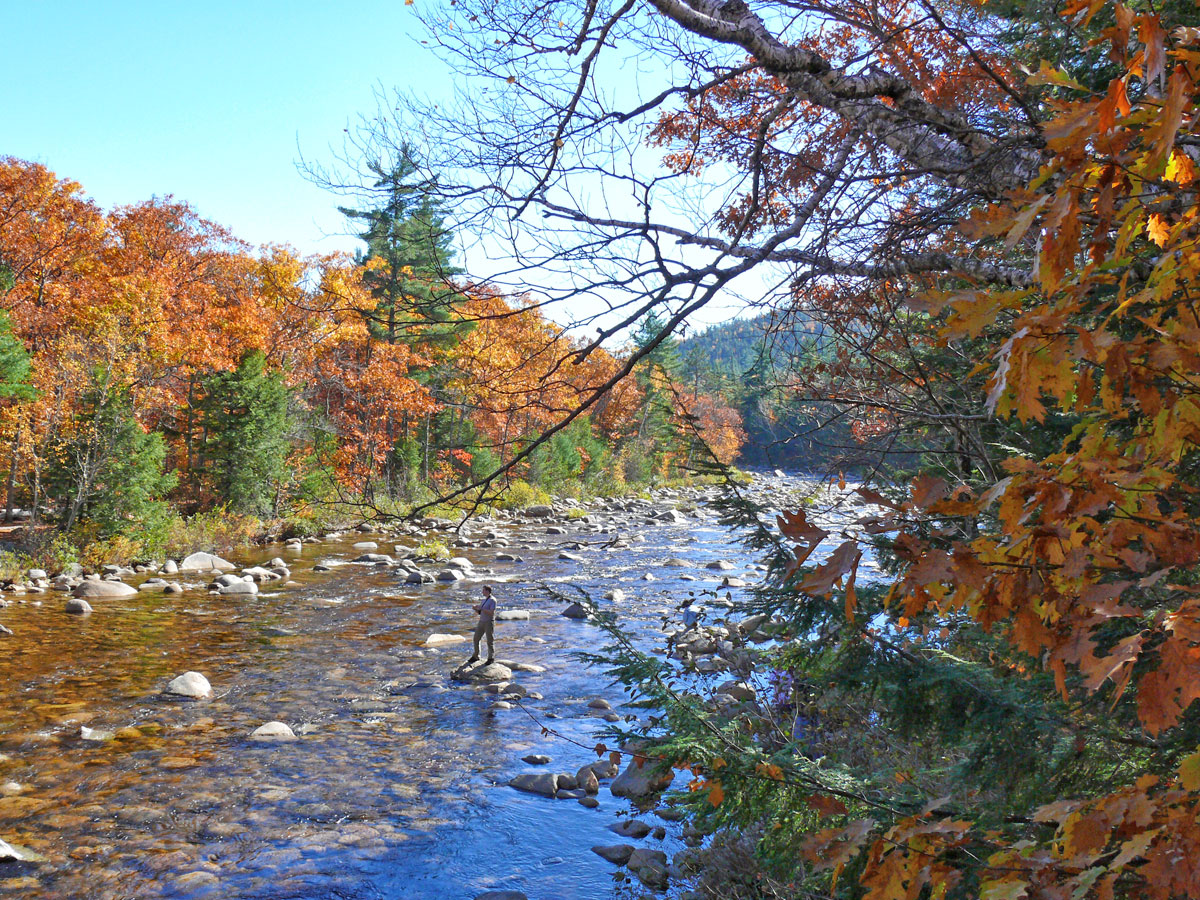
Rocky Gorge
About 10,000 years ago, a mile high sheet of ice covered Rocky Gorge and all of the White Mountains. When it melted, torrents of glacial melt water started the process of carving Rocky Gorge creating a waterfall over thousands of years of melting water and erosion.

From the parking lot, it is a short and easy walk along the Swift River that takes you over a over a foot bridge across the Swift River. You can stand directly above the gorge for viewing and photos. Swimming is not allowed because of an unusual event that occurred in 1942 when a young woman was trapped under the falls for 3 hours.

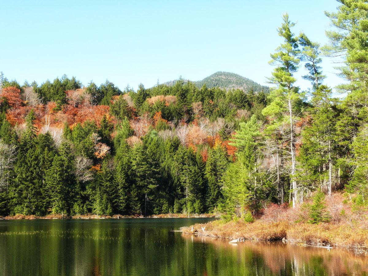
Just up the trail from the footbridge is Falls pond a picturesque pond surrounded by the dense White Mountain National Forest.
Sabbaday Falls
Sabbaday Falls has a gravel pathway that leads you to the edges of the falls. Swimming is not allowed at Sabbaday Falls.
")
")
Hancock Overlook
The Kanc highway ends in Lincoln, where we stopped for yet another break. On the Lincoln NH side of the Kancamagus Highway, you will find Loon Mountain, which offers skiing in the Winter time and other activities year round.
We continued further west to Bath to see the covered bridge there. It’s on the 302 route so a very straightforward journey back to the hotel.
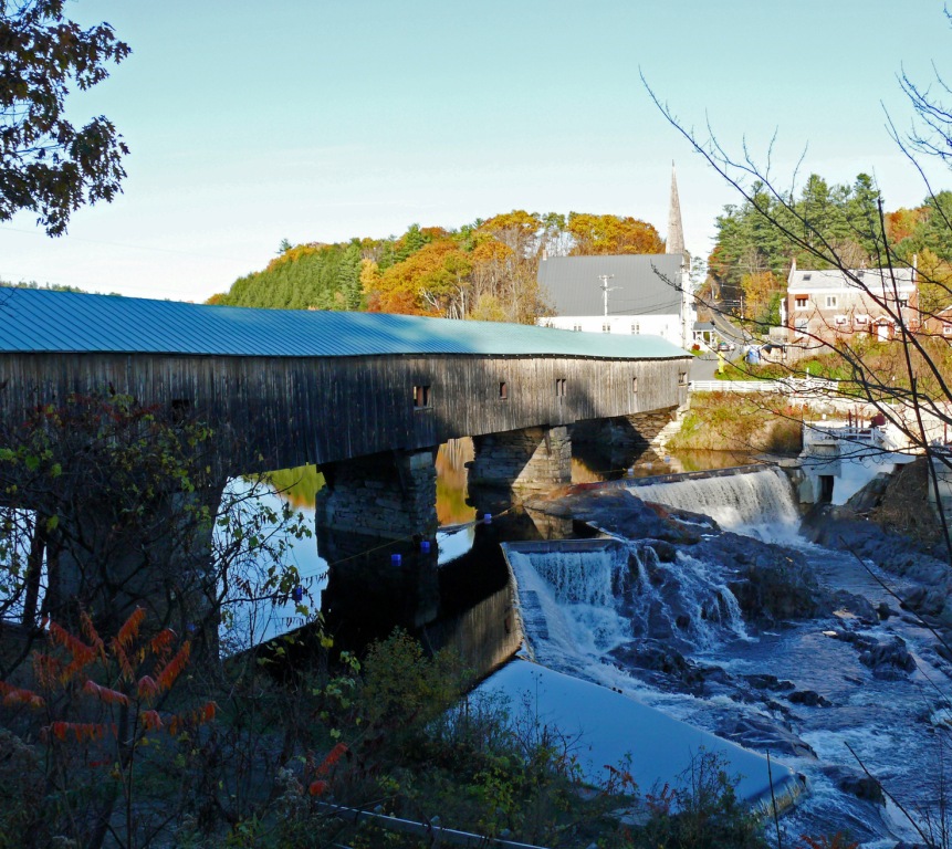
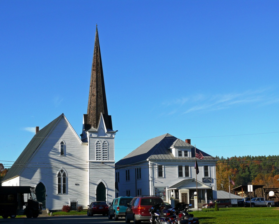
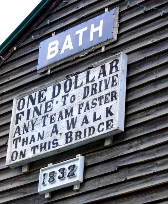
Bath
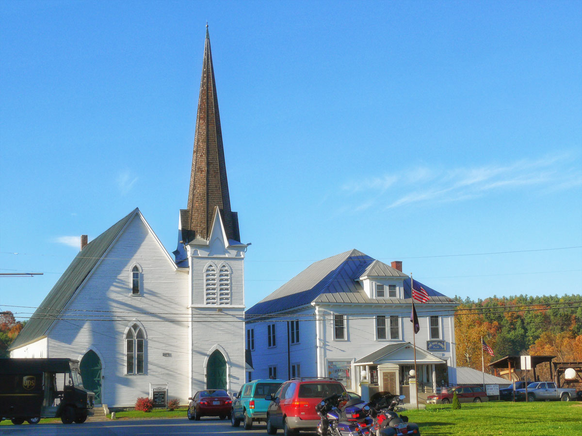
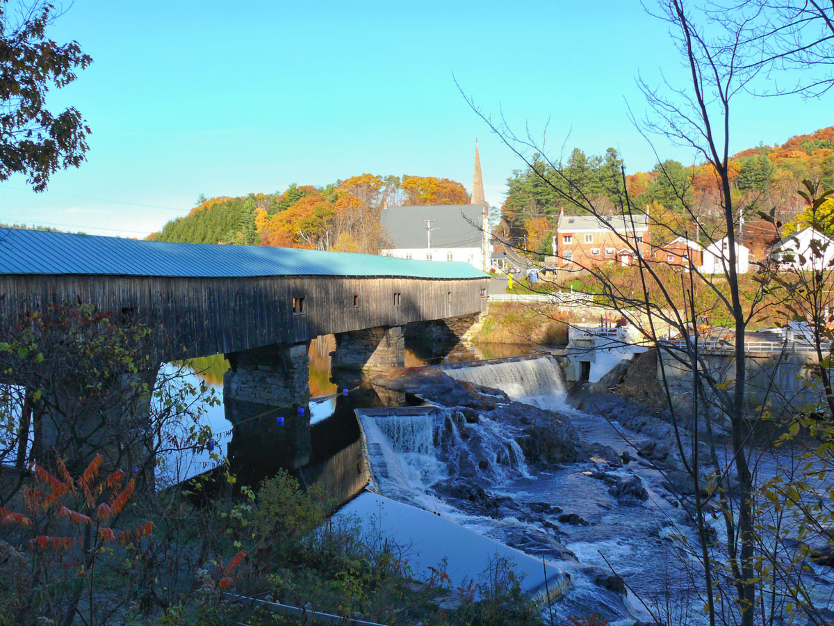
The Bath Covered Bridge is a historic covered bridge over the Ammonoosuc River off US 302 and NH 10 in Bath, New Hampshire. Built in 1832, it is one of the state’s oldest surviving covered bridges. It was listed on the National Register of Historic Places in 1976, and underwent a major rehabilitation in the 2010s. (Wikipedia)
")
")
The bridge consists of four spans supported by Burr trusses, resting on stone piers and abutments, and is finished with vertical board siding.
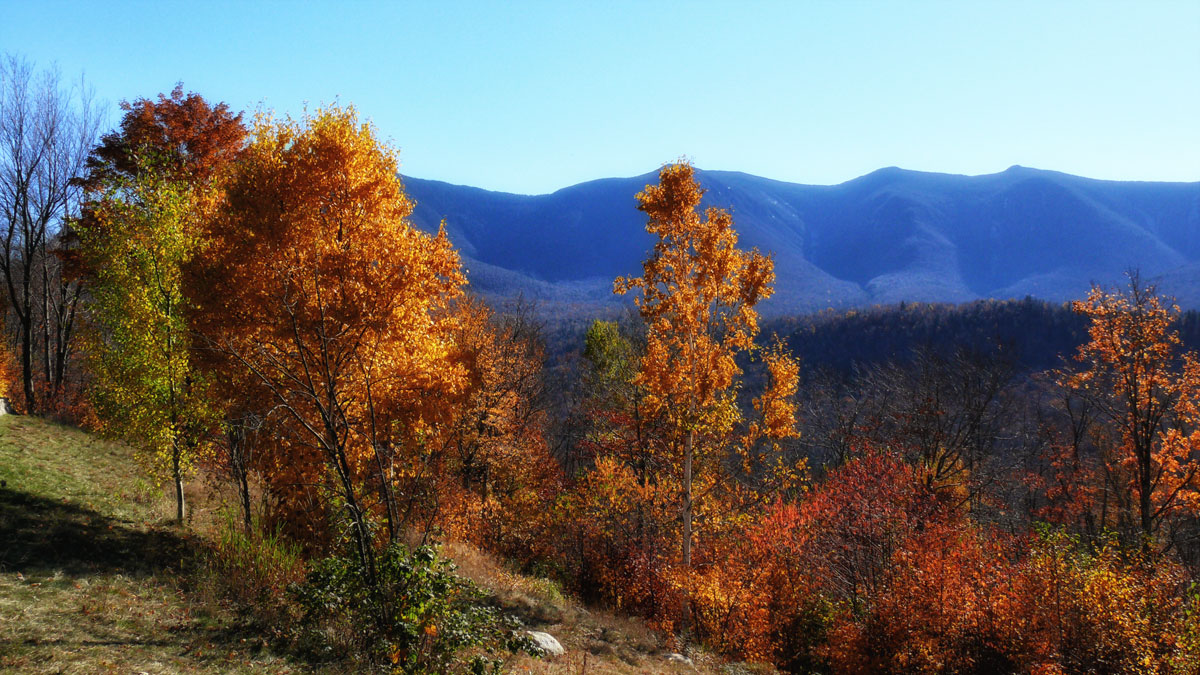
The Kancamagus Highway does not lack its share of scenic views. There are a series of hairpin turns before the Kancamagus Pass, the highest point of elevation along the byway at 2,855 feet. There are plenty of overlooks and parking places from which you can enjoy awe-inspiring alpine and valley panoramas, with views from the height of land looking far out over the Pemigewasset River Valley to the west, Mad River Notch to the south, and down into Livermore and Passaconaway to the east (especially beautiful in the autumn colours), or perhaps you’d like to take one of the many hiking trails or walking paths to view picturesque ponds and natural wonders.