
I meant to return to the Stiperstones in Shropshire during August when the hills would be a purple haze. Unfortunately the damp weather conspired against me but on a gloriously clear day in mid-September I did go back. The Stiperstones is a spectacular 10-kilometre ridge in south-west Shropshire rising to 536 metres above sea level.

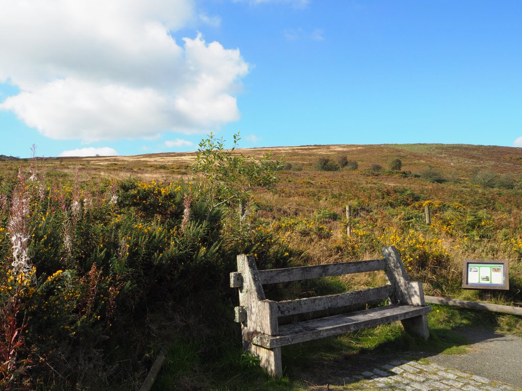
We started the walk this time from the Knolls car park which lies between the Bog Visitor Centre and the hamlet of Bridges at the base of the Long Mynd. There is a fairly short all-ability trail on a broad, level, well-surfaced track running along the southern edge of the Reserve.

There are resting perches and a tapping rail as well as plenty of benches providing views over the area, although the actual quartzite tors are only just visible. There are no benches on top so make the most of these.


You can continue along this route and then up towards the Devil’s Chair, but it is over rather rough terrain so after strolling along this trail we returned to the car-park and headed up the smoother path to the ridge. From the start point you have a climb of around 375ft (115m) but this first part, although steep, is easy to hike up as the surface is wide and grassed, though you should look out for the occasional rock hazard and boggy ground.

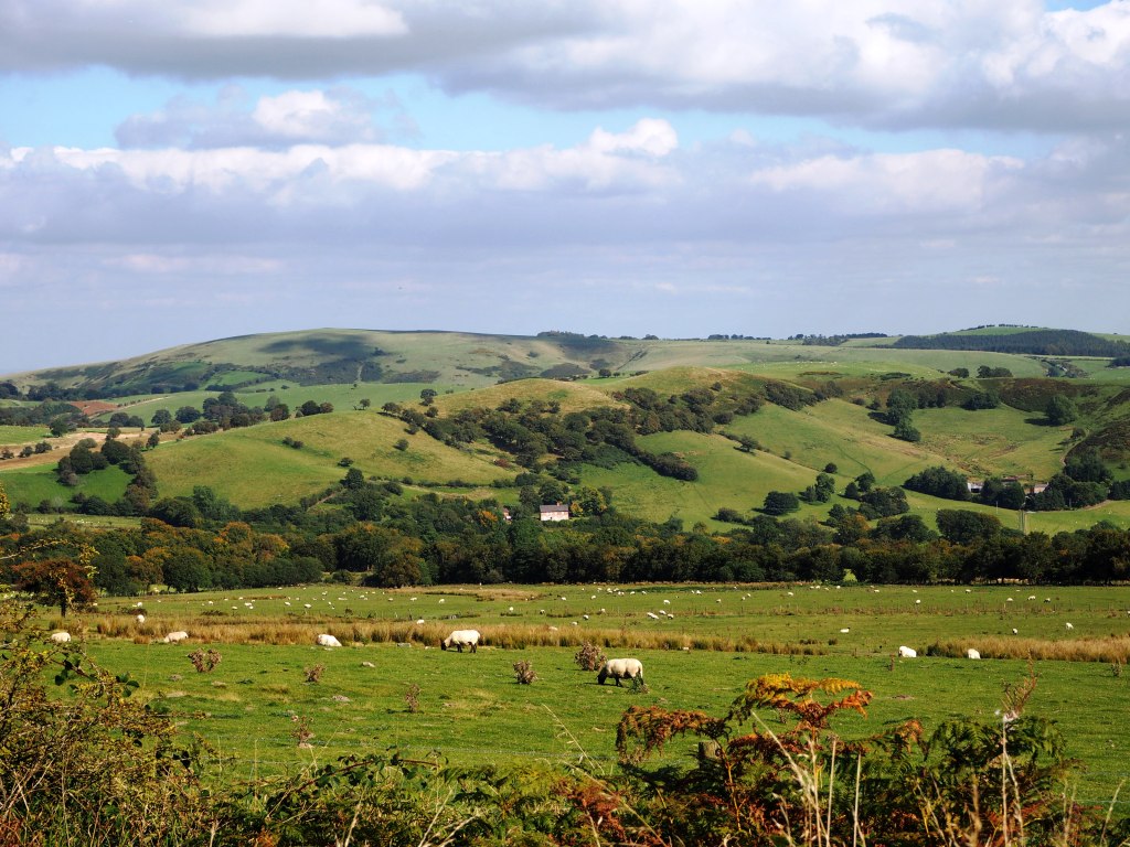
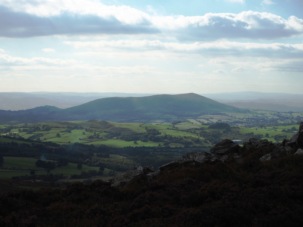
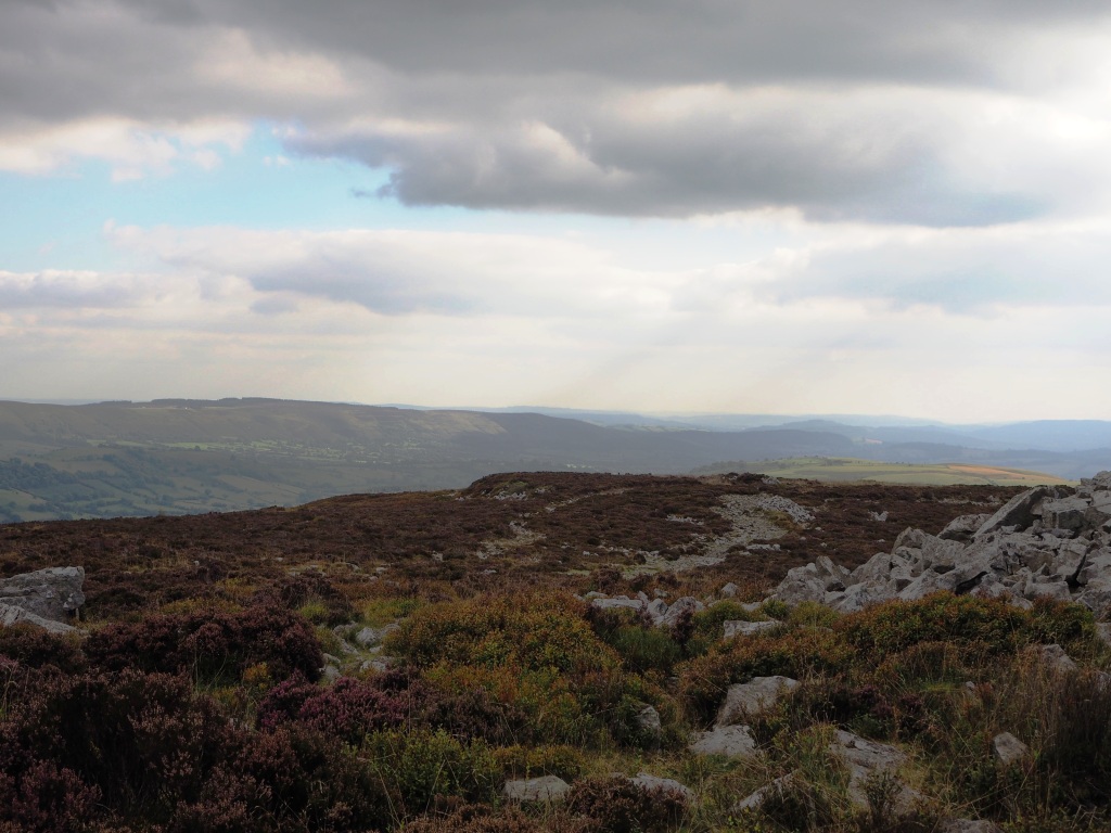
Reaching the top of the ridge you are greeted by the most spectacular landscape. The skyline is dominated by the rocky crags rising dramatically above the traditional hill farms. The views are breath-taking. No towns are visible from here though we could make out the pink towers of Buildwas in the Severn Gorge to the north east and the volcanic looking hump of the Wrekin. We could even make out the shape of Titterstone Clee to the south east, but it was too hazy by now to photograph. Of course there are no motorways, so no traffic noise to disturb the peace. A buzzard or two glided on the thermals in the far distance and even the sheep were quiet. There was a palpable sense of stillness.


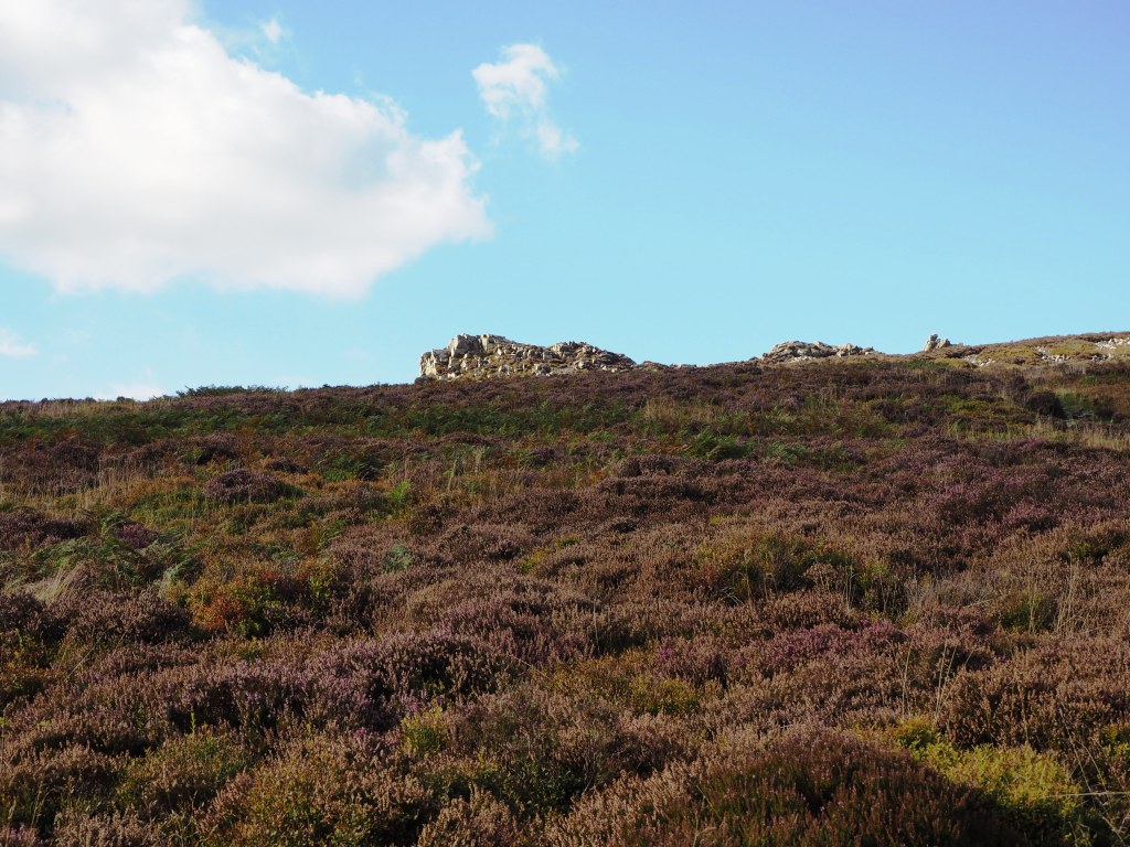
The pathway at the top though is no longer smooth. It is best to wear good walking boots with ankle support and use a pole to help you wend your way between and over the hundreds of rocks randomly thrown around the tussocks of heather.


A slip or trip up here would not be good. To the left of the path are the Cranberry Rocks, to the right along the ridge lie the Manstone Rock, the highest point at 536m with a trig point on top showing distant points of interest including Corndon and Stapeley Hills (where Mitchells Fold can be found), the Devil’s Chair and furthest away, Shepherds Rock.
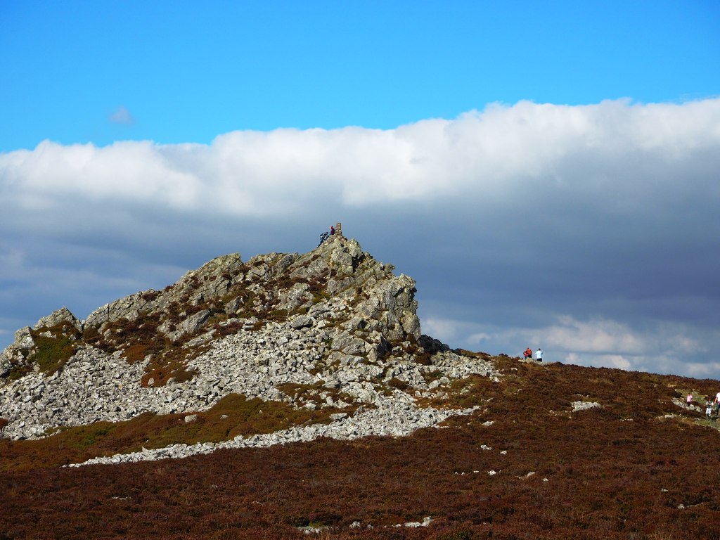


This is a wild and atmospheric landscape, with a geology of national significance. The Ordovician ‘Stiperstones Quartzite’, which makes up the ridge was shattered during the last ice age (more than 15,000 years ago). Severe and prolonged frost produced today’s shattered, boulder-strewn landscape. The jagged tors, including the Devil’s Chair, are outcrops which proved more resistant, while below them, water, frost and gravity combined to form natural stone striping and stone circles.

We didn’t continue to the Devil’s Chair, the next tor as the weather had clouded over (had someone gone to sit on the chair?) and the path was still very much rock-strewn. Given my recent ankle injury I didn’t want to tempt fate and so we turned around and went back down to the car park. If you want to you can carry on and return along a different more rugged track which leads to the Ability Trail below. Or even continue along the ‘Stiperstones Stomp’ passing the rest of the tors before the route undulates gently and downhill for the last two miles to Habberley where you can catch a Shropshire Hills Shuttle minibus. These run between Habberley and the NNR car park and other points at weekends and bank holidays between Easter and the end of September.
If you enjoy a walk, long or short, then have a look at Jo’s site where you are welcome to join in.

Spectacular scenery. A walk I would like to do one day if the knees permit.
Ah, the knees. Always worse coming down hill too 😦