The Canyon Circle Road Trip: Part V

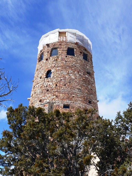
Page to Bryce Canyon


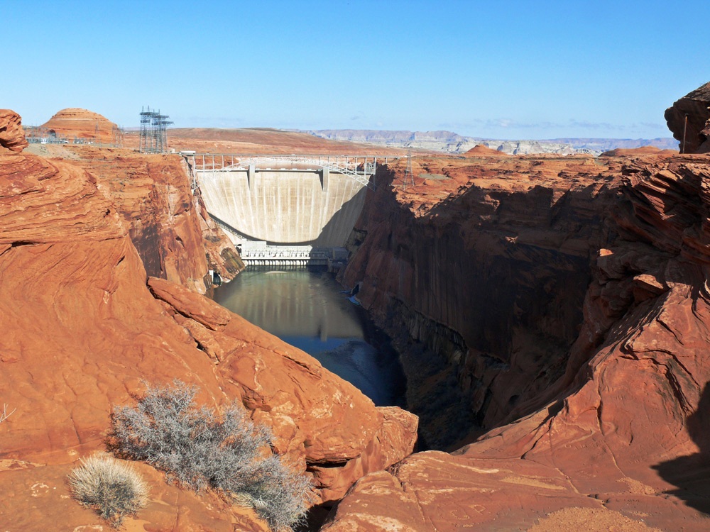
On Monday we left Page to drive to Bryce Canyon and our next stop. First we had a look at the Glen Canyon Dam which was the reason for the town of Page as it originated from housing the workers of the dam when construction started in 1957.

Bridge over the Glen Canyon Dam

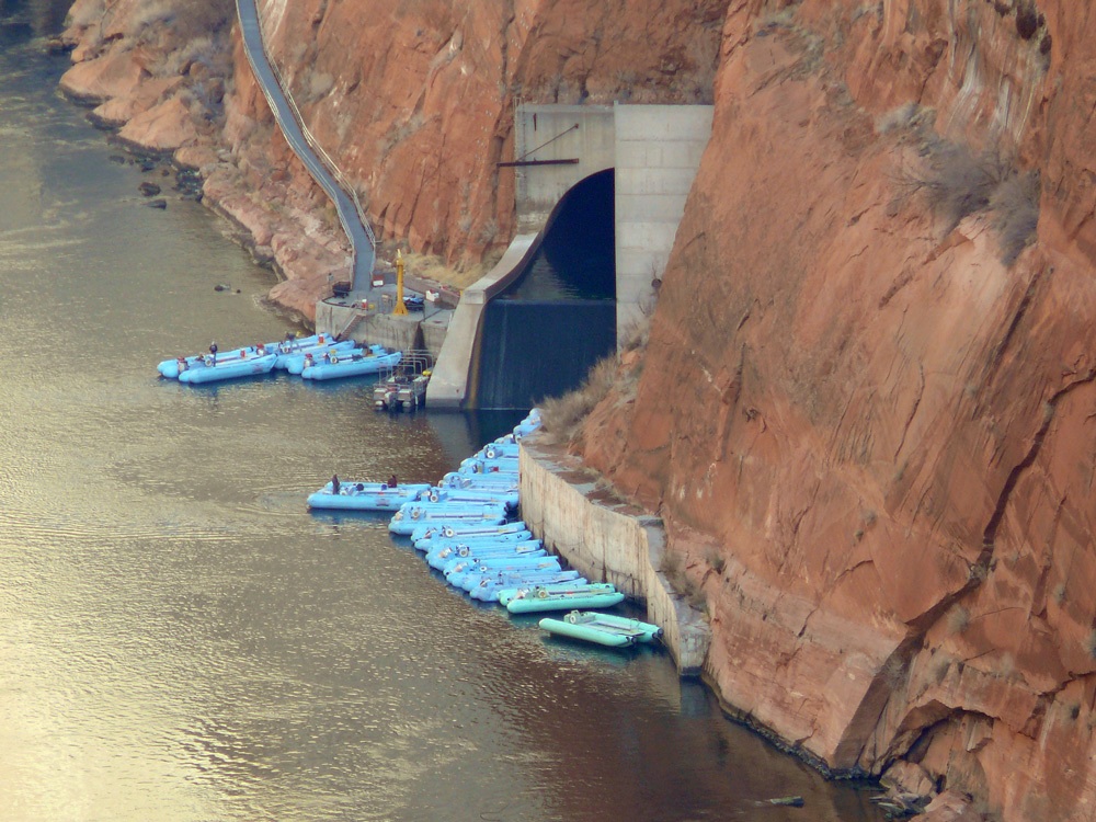
Then we stopped at Lake Powell which is the largest lake in Arizona/Utah and famed for its water sports, fishing, hiking and boat trips to Rainbow Bridge (the world’s largest natural stone bridge).

Lake Powell with Navajo Mountain in the background
Lake Powell with Tower Butte and Navajo Mountain in the background

Lake Powell is arguably the most scenic lake in America, situated in some of Southern Utah’s finest red-rock desert country.

The River runs through us

Above: The Hydroelectric Project (Glen Canyon) and the Navajo Generating Station. Why are two power stations so close? The reason is the river. The availability of water at lake Powell, the proximity of a source of coal and a worker base in the city of Page determined the location.

Lake Powell
Lake Powell

Sparkling clear, blue water laps against towering, sheer, red-rock canyon walls and sandy beaches. Lake Powell has more coastline than the entire west coast and you need a water craft to access the majority of the canyons as access is limited because there are few roads.

Highway 89
Highway 89

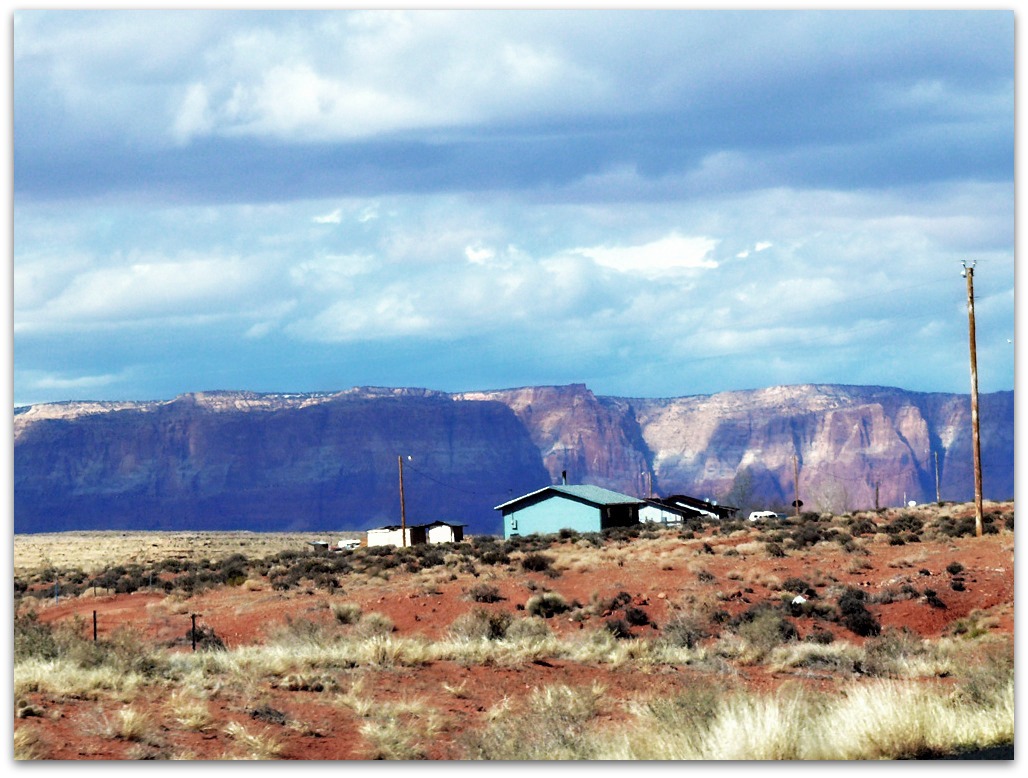
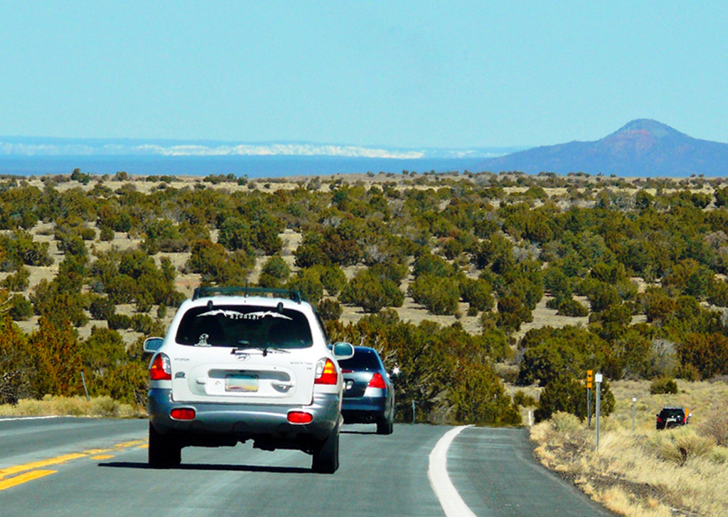
Moving on we crossed the border into Utah which is only about ten miles from Page. Utah’s southwest corner is often called “Colour Country” and has a dry, hot climate and Highway 89 is a Heritage Highway because of the wealth of history along its route.

Cockscomb
Cockscomb

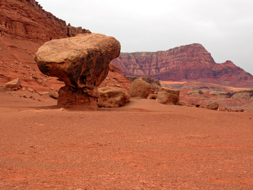
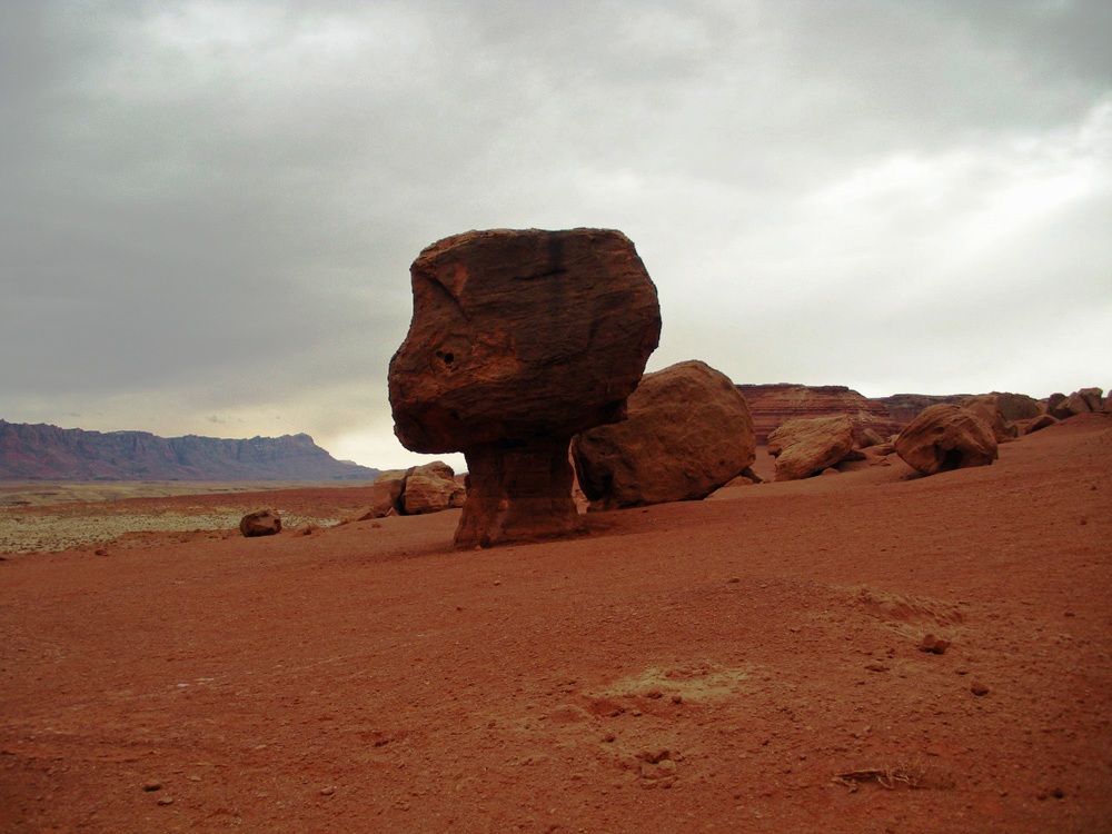
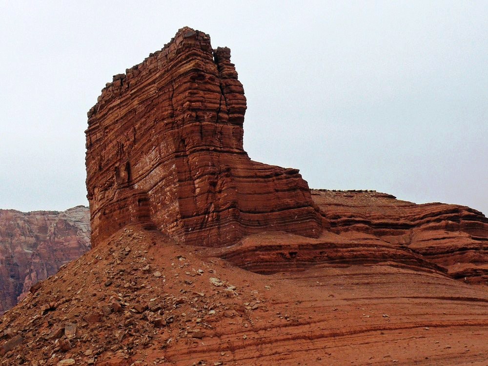
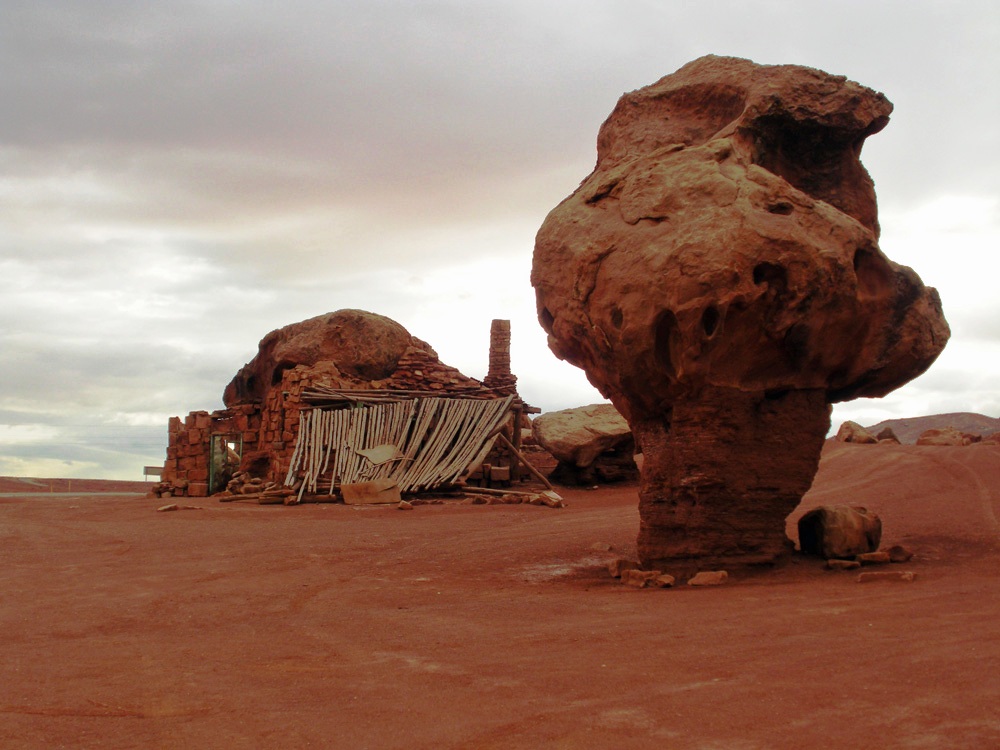
Driving past Paria Canyon and the Vermilion Cliffs Wilderness you then pass Cottonwood Canyon Scenic Backway with rugged peaks called the Cockscomb. Next is an area called Telegraph Flat named in 1876 when Western Telegraph opened an office here. It is now a ghost town.

Driving to Kanab
Driving to Kanab

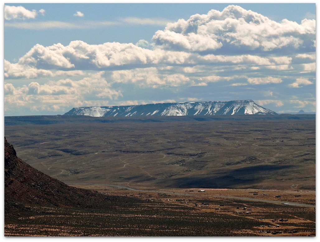
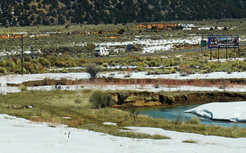
The biggest town along the route is Kanab, famous for the Western Legends Roundup and Western Film Festival an annual event that is a tribute to the area’s rich movie history. Nearby is the Coral Pink Sand Dunes State Park (covered in snow as we passed ) where the rare plant, Welsh’s Milkweed, grows.

Coral Park Sand Dunes
Coral Pink Sand Dunes

The United Order experiment was instituted in 1874 for a communal lifestyle at the direction of Brigham Young. Eighty families moved here from Mount Carmel where the co-operative had failed.

It existed until the 1880s when it started to fall apart, though it had grown to more than 700. The families lived in apartments which were identical, they all ate in a common dining  hall and wore uniforms. Private property did not exist.

The next town is Mount Carmel Junction where Highway 9  to Zion National Park intersects with the 89  (and which we would be taking tomorrow as we retraced the next stage of our trip), a few miles on we drove through the unusually named Orderville.

Mount Carmel Junction was first settled by Dr Priddy Meeks in 1864 as part of Brigham Young’s plan to settle all of Utah’s territory. It was later named after a mountain in Israel.

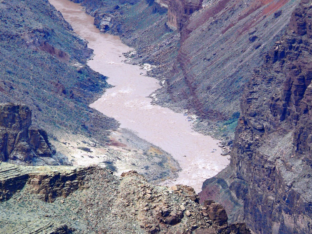
John Wesley Powell first visited in 1872; he was the first white man to descend the East Fork of the Virgin River and who named the canyon “Parunuweap” from the Paiute word meaning roaring water canyon.

(source: wikipedia)

Coral Pink Sand Dunes
On to Highway 12
On to Highway 12
Heading to Bryce Canyon

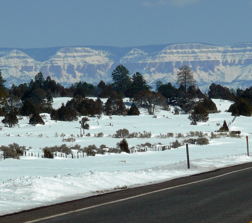
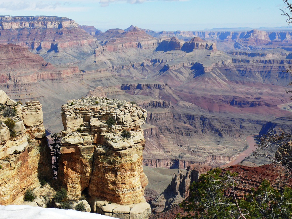
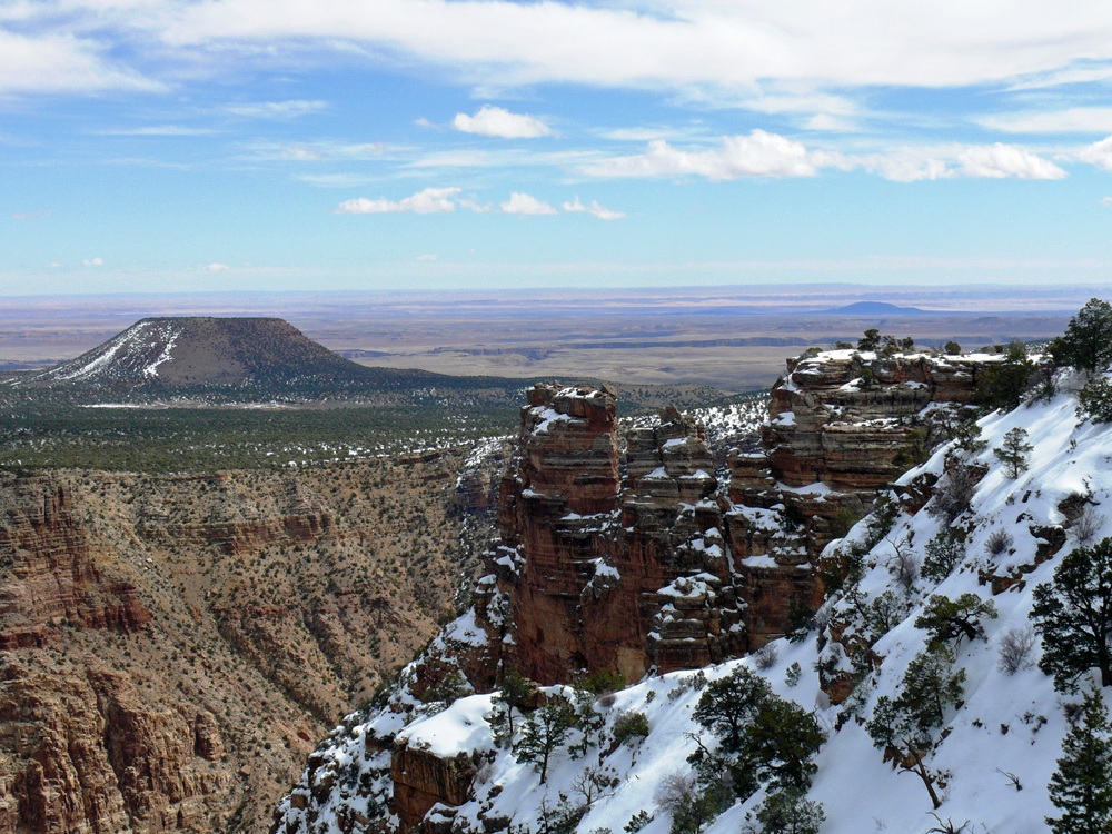
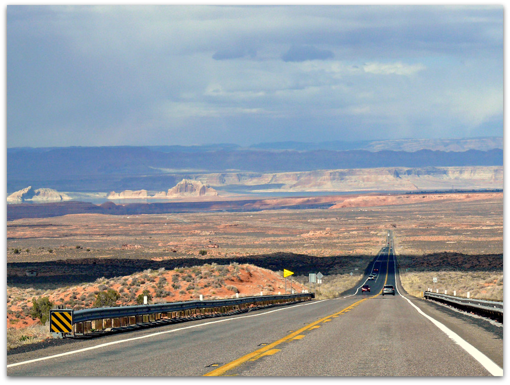
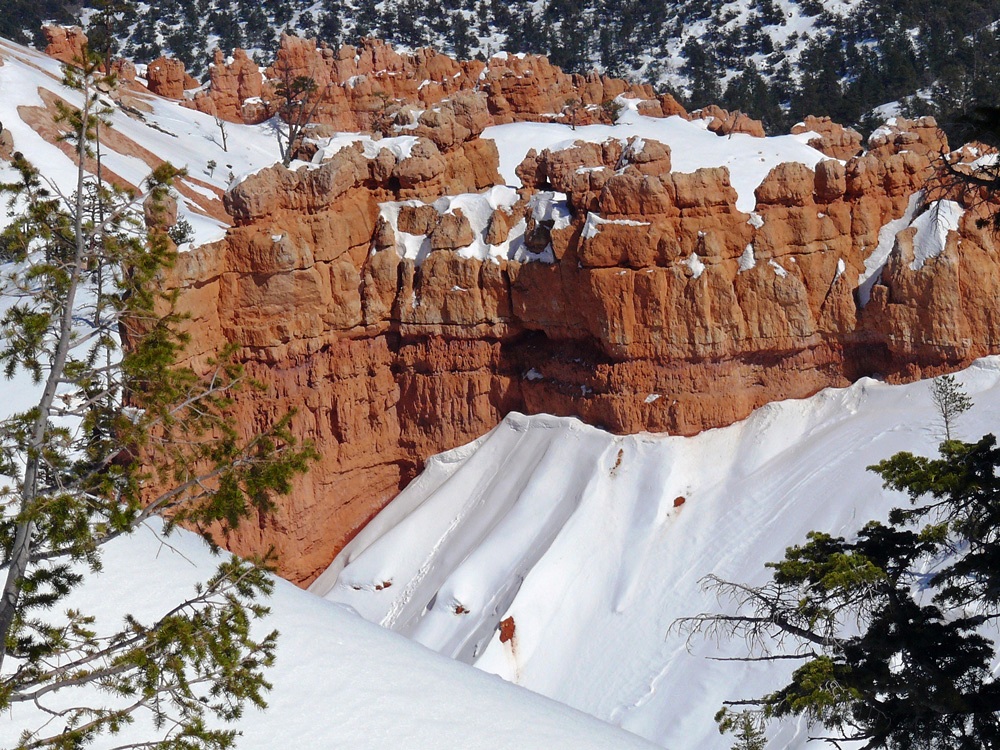
Just before Panguitch (another town with an interesting tale, which I will tell you about in my next post) you take a turn to the right on State Route 12, another of the All American Roads, which winds 124 miles through some of the most unique geology on earth. Almost immediately you hit Red Canyon, a section of the Dixie National Forest, with red hillsides dotted with ponderosa pines and hoodoos.

The Tunnels
The Red Canyon Tunnels

(Click an image to enlarge and for further information)

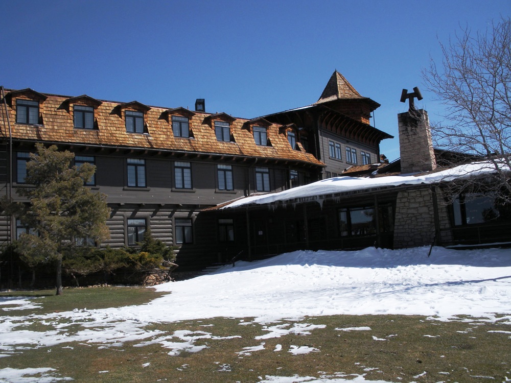
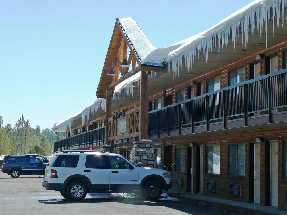
After 14 miles we took another right turn and headed back south on Highway 63 to Bryce Canyon National Park, so named after Ebenezer Bryce a Mormon pioneer. We were staying in the Best Western Ruby’s Inn which is a short distance from the park entrance.

Ruby's Lakeview Lodge
Ruby’s Lakeview Lodge

“Before there were any Indians the Legend people, To-When-an-ung-wa, lived in that place. There were so many of them. They were of many kinds – birds, animals, lizards and such things – but they looked like people…

For some reason the Legend People in that place were bad. Because they were bad Coyote turned them into rocks; some standing in rows, some sitting down, some holding onto others. You can see their faces with paint on them just as they were before they became rocks…”
~ a Paiute Indian Legend

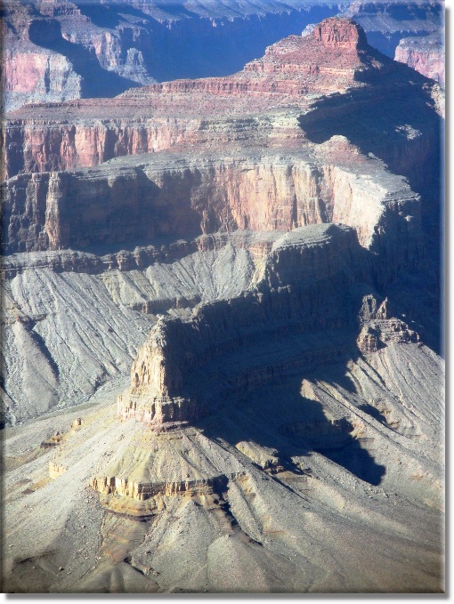
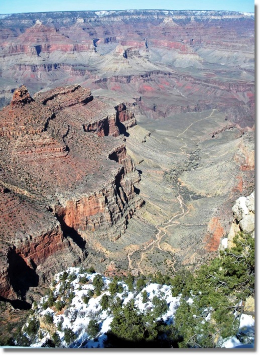
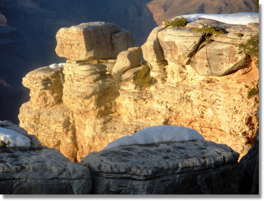
After checking in and dropping our luggage in the Lakeview Lodge we headed off into the park to have a look at the incredible hoodoos that are concentrated in a horse-shoe shaped amphitheatres that provide amazing spots to watch the sun rise and set.

A perfect spot for star-gazing as there is no light pollution.

Amphitheatre
Amphitheatre
Views
Views

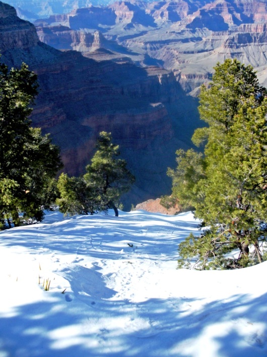
The 3 feet of snow that had fallen over the weekend meant that several of the pathways were under snow and walking was quite treacherous. It didn’t seem to put off some people though as we saw them climbing over fences to approach the end of a lookout point – oblivious to the fact that you couldn’t see the edge. I even saw two lads carrying a mate in a wheelchair to the edge of one viewpoint.

Snow in Bryce
Snow in Bryce
A lone cone
A lone cone
Navajo Loop note the steep, icy trail

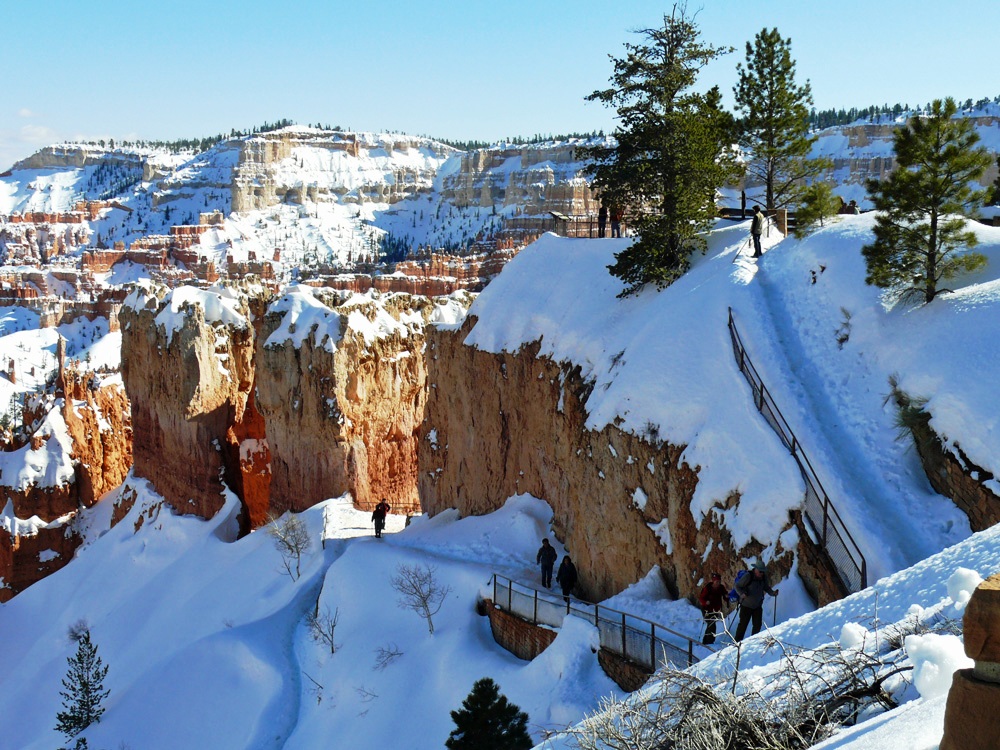
From Sunset Point this trail takes you down onto the floor of the canyon and amongst the hoodoos. Not to be ventured on except by people in stout boots with walking poles, or idiots in fashion boots complete with high heels!!

Hoodoos
Hoodoos

We ate at Ruby’s that night, there isn’t really a lot of choice, but the food was reasonable – I can’t say that we’ve eaten any remarkable meals during this trip so far. It had been a long day with lots of interesting scenery along the way. There was a lot of snow all around and it was very cold, but thank goodness the roads were cleared and driving was a breeze.  Tomorrow should be another interesting day.

The Canyon Circle Road Trip: Part IV

A Day in and Around Page


Sunday dawned cold and grey. But the photo trip was still on and we spent a couple of hours in the company of Charley from Overland Canyon Tours in the Antelope Canyon which is a few miles outside of Page where the slot canyons are majestic narrow passages with just enough space for a small group to walk the sandy floor – and for the occasional shafts of sunlight to shine down from above. [1]

Antelope-183

The best time to visit is when the sun is overhead so you get those super shots of sunlight on the sand particles shimmering in the oranges, reds and yellows of the naturally carved sandstone. Unfortunately for us there was no sun, but that did not spoil our enjoyment of this incredible place. Even light flares added an interesting purple hue to the rocks. For those of you who are fitter than us you might like to visit the Lower Antelope Canyon which is reached by a series of ladders. All I can say that climbing the steps up into the cab of the Ute was hard enough!

Antelope-021

In the afternoon we took a drive back down to Bitter Springs and turned right on to the 89A across the Navajo Bridge to visit Lees Ferry where you can get down to the edge of the Colorado and watch groups preparing to raft down the river.  [2]

(click on an image to enlarge)

Over the ten miles or so south of the Navajo bridge, the Colorado has several fascinating narrow tributary canyons including  Seven-mile Draw, Soap Canyon, Jackass Creek and Badger Canyon. The layers of sandstone and shale that form the vermilion cliffs once extended five miles to connect to the same layers in the Echo cliffs. The Colorado River cut a canyon through the Navajo sandstone. 

We stopped to marvel at the balanced rocks on the way back to Marble Canyon. Thousands of years ago a huge boulder of conglomerate broke from the cliff above and rolled to a stop here. Since then at least 6 feet of this slope has eroded away.

Balanced Rocks
Balanced Rocks
Balanced Rocks

Ultimately the softer rock, now protected by the umbrella of harder conglomerate will erode, and the boulder will topple to the ground again.

Balanced Rocks
Balanced Rocks

Several fallen boulders at the foot of the desolate Vermilion Cliffs on the Arizona Strip north of the Grand Canyon.

Hard upper layer - Shinarump Conglomerate - forms the cliff top.
Hard upper layer – Shinarump Conglomerate – forms the cliff top.

At the 89a junction we turned right and drove to the  Cliff Dwellers Lodge about nine miles further east to have an early dinner at the diner there.

Cliff Dwellers Lodge

During the Great Depression, a few white settlers built a small town of wooden structures with shingle roofs that still cling to gigantic boulders in a moon-like setting at the foot of Vermilion Cliffs.

Through the window of a cliff dweller's home
Through the window of a cliff dweller’s home
Tough living
Tough living

Returning to Page after a very interesting day we managed to catch the sun setting on Echo Cliffs on the land of the Navajo Nation.

MC-David-302

[1] When we did this trip it was OK to have any type of camera but now you need to have a SLR – point and shoot, IPads and IPhones are  not accepted, if you have one of these you may find yourself on a normal tour. We had bridge cameras.

[2] There was a landslip in 2013 which meant that this route was not accessible for quite some time. It is advisable to check routes in this region before setting out.

The Canyon Circle Road Trip: Part III

Grand Canyon to Page


After breakfast on Saturday we checked out of the hotel and set off eastwards along the East Rim. It was a dry day, but extremely windy, which made standing out on the exposed viewpoints and keeping a camera steady, quite challenging.

(click on an image to enlarge and see the detail)

Can you see the river?

I was amazed and rather concerned at the number of people who venture out onto the overhanging rocks to get a photograph, especially when said rocks are covered in snow and it is difficult to see where the end is! I wonder how many tourists lose their lives in this way?

GC3-025

The best views of the canyon on the East Rim are from Grandview, Artists Point and Lipan Point. The whole drive takes about an hour but stopping to look from the various pull-ins will add on at least another hour.  Possibly more! From this side you can catch glimpses of the River Colorado and the rafts making their way down the rapids.

Pinyon Pine
Pinyon Pine hanging on for dear life
Hance Rapids
Hance Rapids – click to enlarge and see the rafts bottom right – yes it really is that deep!

And if, like us, you are leaving via the east gate then make your last stop at Desert View where you can see and hear the river below. Climb up the Watchtower for even more spectacular vistas, framed by the windows they look like paintings. Admire the wall murals inside and maybe buy yourself a souvenir from the region.

View from the Watchtower
View from the Watchtower – Colorado on the right, Little Colorado centre
View from the Watchtower towards the Painted Desert

Hard though it was to pull ourselves away from the Canyon we had to get to Page for the night which meant driving eastwards through the Painted Desert to join the 89 route again.

Murals
Murals – the large circular painting tells the legend of the Snake people
Watchtower
Watchtower

The drive from the Grand Canyon Village to Page will take about three hours without stops, so make sure you don’t dally along the rim for too long!  After exiting the east gate at Desert View the next logical stop is at the historic Cameron Trading Post where you can buy artefacts or a Navajo frybread taco if you are feeling hungry!

The next two hours  is on the Painted Desert scenic highway. The road was pretty empty of traffic in March and the views of the layers of coloured rock meant that it was never boring.

marble Canyon

At Bitter Springs where the 89 winds up into the mountains we pulled into a viewpoint where you have views back towards the Grand Canyon and  also to Marble Canyon [1].

Bitter Springs
Above Bitter Springs towards the snowy North Rim
Vermilion Cliffs
Vermilion Cliffs east of the Colorado River – can you see where the river runs?

Further on is the turn-off to Horseshoe Bend Overlook on the Colorado River, where you need to park up and hike for an hour to view the river from a spectacular high viewpoint. Although I would have liked to see this, we didn’t have the time or the energy for an hours hike (each way).

Lake Powell in the distance
Driving into Page
Driving into Page

We stayed at the Courtyard Page at Lake Powell, which is not the most convenient location as it is right on the edge of the town so not easily walkable to the shops and restaurants. But it is quite close to the Glen Canyon National Recreation Area from where you get good views of the dam and where you can take river trips down the Colorado.

Glen Canyon Dam
Glen Canyon Dam – it really is very high
Catching a Raft down the Colorado

We popped out later for a burger at the Dam Bar and Grille, a steak house in town, hoping that the snow which was forecast overnight wouldn’t lead to the cancellation of our photo trip to the Upper Antelope Canyon on the following day.

[1] The US 89 to Page closed after a landslip in February 2013 and you have to take the newly paved 89T or use the route via Tuba City.

The Canyon Circle Road Trip: Part II

Sedona via Flagstaff to the Grand Canyon 


Today was a much shorter drive, though very different from yesterday as we were driving through the snow that had fallen overnight. After a lovely breakfast and snapping a few shots of Steller Jays and Dark Eyed Juncos who were breakfasting outside on monkey nuts  we were on our way to the Grand Canyon. Would it live up to the hype I wondered? Or would the reality fall flat.

(please click on an image to enlarge)

We continued along 89A through Oak Creek Canyon weaving its way up and around the mountains. At the top we pulled into a viewing place to take a few photos of the canyon and the road on which we had just driven. I am so glad that they clear the roads in this part of the world!

GC2-412
A winding road

By noon we’d arrived at Tusayan the town just before the south entrance to the park and we stopped to visit the IMAX theatre to watch a film about the Canyon which is well worth doing if you haven’t been there before. Though I must be the only person on earth who suffers travel sickness whilst watching these films! I have to close my eyes to stop myself from feeling dizzy.

On the road to the Canyon
On the road to the Canyon, North Rim in the distance

The Grand Canyon fills me with awe. It is beyond comparison – beyond description, absolutely unparalleled throughout the wide world. Let this great wonder of nature remain as it is now. Do nothing to mar its grandeur, sublimity and loveliness. You cannot improve on it. But what you can do is keep it for your children, your children’s’ children and all who come after you, as the one great sight which every American should see. Don’t let them skin this wonderful country – as they will try to do” ~ Theodore Roosevelt, May 6, 1903

Now we were in the park and following the one-way system to our hotel – El Tovar – where we had booked for the night. It is a  National Historic Landmark and is right on the South Rim with views of the canyon from rooms on the northern wing.

The hotel is made from native stone and Oregon pine and the design is based on European hunting lodges and has a world-renowned restaurant along with canyon views.

After settling in to our room, we went to have our first look at the view and then find the shuttle bus which would take us to Hermits Rest which is closed to private vehicles.

El Tovar
El Tovar
Hopi House
Hopi House
Icicles
Icicles

There are no words to describe your first view of the grand Canyon. Photographs do not do it justice, you cannot capture the multiple layers and colours and the sheer scale of the size and form. It overwhelms the senses and all you can do is stand and stare. Take time to pause on the rim and take in Earth’s history.

Hindu Ampitheatre
Hindu Ampitheatre
Hindu Ampitheatre - close-up
View from Hermit’s rest

Don’t rush your visit to the Canyon. I know some people do a half day trip from Las Vegas, but it is worth spending at least one night there. During the afternoon we used the shuttle bus along the 7 miles to Hermits Rest and stopped off at different viewpoints along the way. You can of course walk the trail along the rim, but there are unpaved sections and while we were there it was very icy and snow covered so unless you have adequate walking boots I would advise using the bus.

The Colorado River Runs Through It

Visit the Kolb Studio, perched on the edge of the rim, the Victorian home of the Kolb Brothers who created a lasting legacy of adventure, exploration, family love, and amazing Grand Canyon photography or hike down Bright Angel Trail, if only to the first tunnel, if you are brave and it is not covered in snow!

The Bright Angel Trail
Pinyon Pines cling to the edge

And if time allows the genuine artistry of Native American jewellery deserves a look in the better gift shops at the Hopi House or the Watchtower. Check for a genuine silver hallmark and the quality of stones in the lovely silver and turquoise jewellery. Hopi rugs, pottery and Kachina dolls are also good souvenirs. Finally we returned to the Village just before sunset around 6:30 before heading off into the El Tovar restaurant for a well-deserved steak.

Sunset on the South Rim

The Canyon Circle Road Trip: Part I

A Road Trip through California, Arizona, Utah and Nevada

Itinerary

The Grand Circle is known as one of the best road trips in the US. Taking a minimum of ten days, starting and ending in Las Vegas, you circle round some of the most spectacular landscapes in the world: Grand Canyon, Zion, Bryce, Capitol Reef, Arches, Canyonlands, and Monument Valley. We only had six days in which to visit so it was difficult working out what to leave out. It was early March and not unlikely that we’d hit snow somewhere on route which was a factor in our final decision and starting from San Diego in the south-west corner of California also meant a bit of a trek to get into the region and would mean a further overnight stop so we really only had five days. Pouring over maps, and reading reviews of hotels, motels and B&B accommodation we eventually decided on our trip.

Buy an America the Beautiful – The National Parks and Federal Recreational Lands Annual Pass ($80) at the first park you enter to save you money.

San Diego to Sedona

It would be a long drive to our first overnight stop in Sedona. But a fairly easy route along Interstate 8 to Yuma, which immediately started us thinking about film and song titles we knew about the US, left at  Gila Bend up onto the Interstate 10 and then skirting Phoenix on Interstate 17 and finally up towards Flagstaff, finally getting off the highways and onto the State Route 179 (also known as Red Rock Scenic Byway, an “All-American Road[1]).

GC1-064
South Arizona Sand-dunes

We expected the journey to be fairly mundane as it was almost entirely on highways, but since it was the first time we’d driven this route there were several surprises along the way, not least the huge sand-dunes somewhere close to Yuma I think, where we spotted dune buggies and dune boards. The traffic was sparse until the Phoenix area when it was much more dense until we had passed the Phoenix Cardinals Stadium in Greendale. And the sight of the ‘three-armed cactus’ –  Saguaro Cactus – alongside the road made us feel as though we were in a Western movie.  Fully expecting Red Indians to come over the ridge! Unsurprisingly the flower of this plant is the state flower of Arizona.

GC1-124
Saguaro Cactus

But the most exciting views were when we turned off Interstate 17 and onto 179 where the road winds through the pinion-covered Coconino National Forest with views of spectacular red rock buttes and mesas jutting out from the earth with names like Coffeepot, Cathedral and Thunder Mountain (you can see where they got the roller coaster idea from). We stopped off at  a couple of the scenic pull-outs to take some photos around Bell Rock and stretch our legs around the Courthouse Butte Loop before driving on and through Sedona, known for the spiritual and metaphysical as well as hundreds of miles of hiking and biking trails, the red rock vistas and scenic drives and on to the 89A to our B&B for the night in Oak Creek Canyon close to Slide Rock State Park.

GC1-370
Thunder Mountain
GC1-256
Entering Sedona (Oak Creek Valley)

Shortly before our arrival there had been a fall of snow in the region and on entering Oak Creek Canyon we were surprised to see it lying all around, though thankfully the road was completely clear. Because of the weather and the fact it was almost dark, we didn’t venture back down into Sedona, but had an early night, looking forward to the drive to Grand Canyon and hoping that the snowfall wouldn’t be a problem.

(click an image to enlarge)

Astonishingly I had never heard of Sedona before I started planning this trip. How on earth has it stayed such a secret to us Brits? It is definitely a place to spend more time in and explore.


[1] There are 27 of these designated by the US Department of Transport, for their exceptional and unique recreational, natural and scenic qualities.