
scale great heights with care
where water flows to the ground
with dramatic force
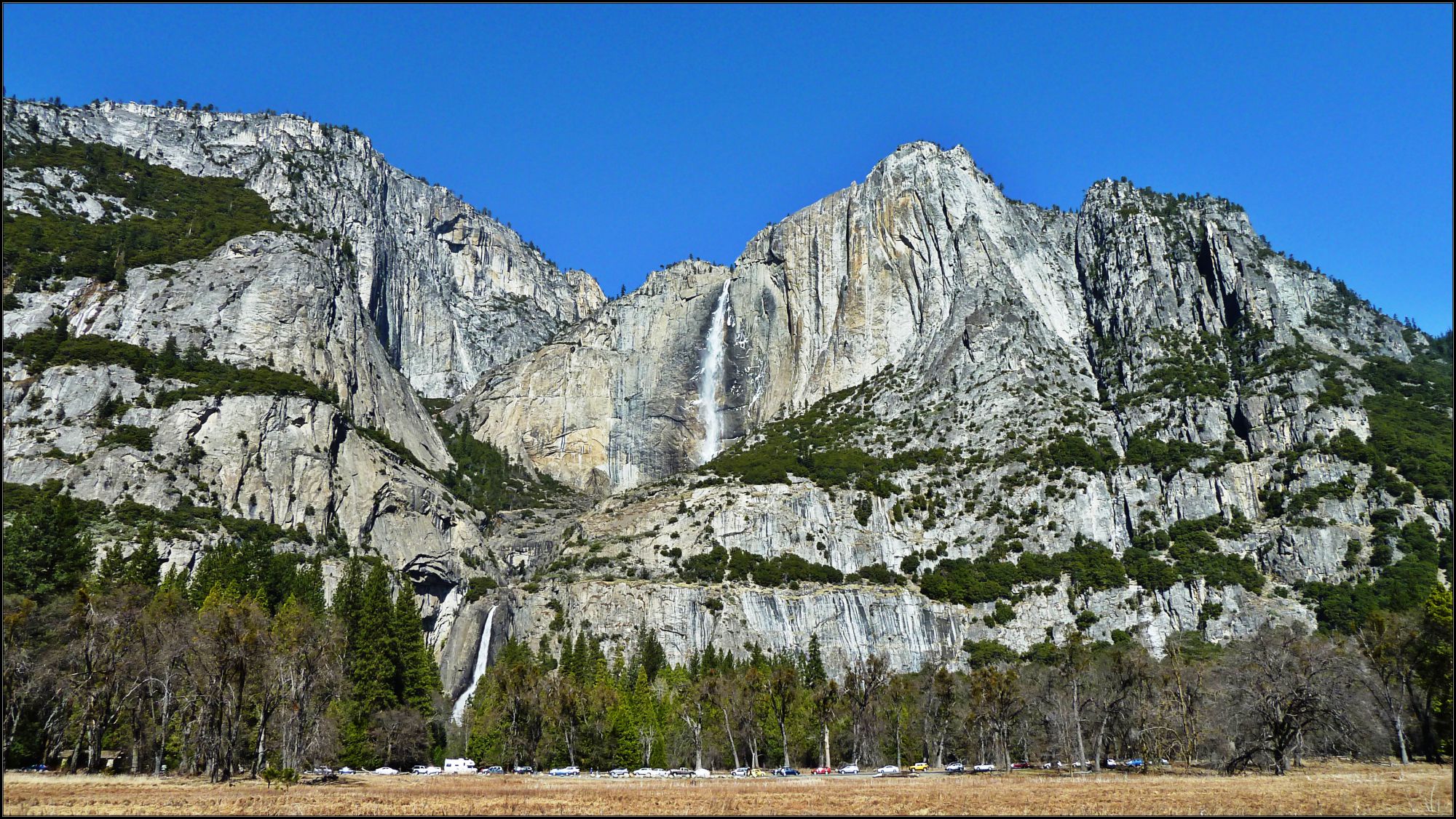
(click image for larger scale – it’s worth it)
scale great heights with care
where water flows to the ground
with dramatic force
(click image for larger scale – it’s worth it)
The possession of knowledge does not kill the sense of wonder and mystery.
There is always more mystery.
Anaïs Nin
I express myself through my photography. My lens is my eye on the world around me. It makes me more aware. Of light, of colour, of shapes, of textures, of landscapes and details. Urban fragments, peeling paint. A rusty lock. Light through leaves. A blackbird. The perfect flower. The purest colour. It makes me look. And take the time to stand and stare. To wonder. I hold my breath and press the shutter. And hope that I have captured the perfect moment.

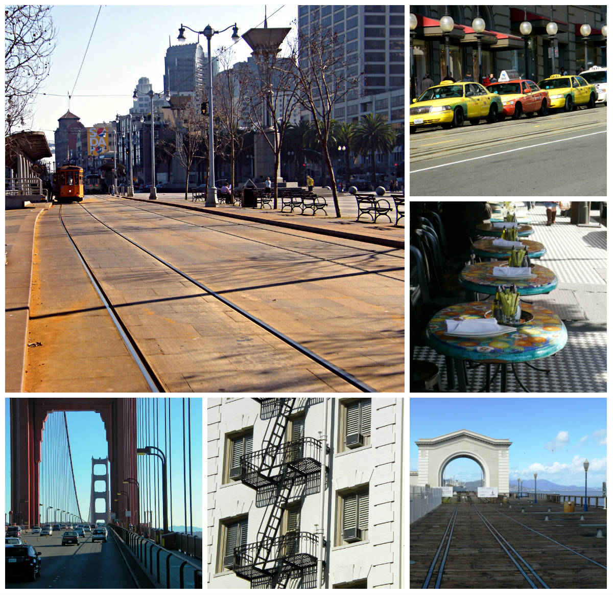
Lombard Street is an east–west street in San Francisco, California. It is famous for having a steep, one-block section that consists of eight tight hairpin turns. Taken from Coit Tower.
THIS WEEK, IN A POST CREATED SPECIFICALLY FOR THIS CHALLENGE, SHOW US AN IMAGE THAT SAYS REFLECTION.
I have blogged about Yosemite before; it is a place where I felt the opportunity to reflect on life. It seems appropriate to use this image for this week’s photo challenge.

On our road-trip down the Pacific Highway 1 from San Francisco to San Diego in 2009 we had an overnight stay in Santa Barbara, known as the American Riviera. It is an expensive city to stay in as it is very popular with holidaying Americans and not too far from Los Angeles. Nestled in amongst the gently rolling hills above the Pacific Ocean it is known for its Moorish architecture, colourful history and beauty. Naturally, before we left, I had to have a look at the 10th historic mission founded there in 1786 and known as The Queen of the Missions.


