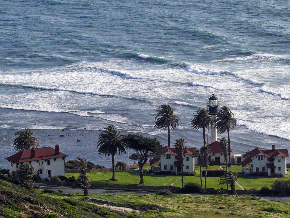
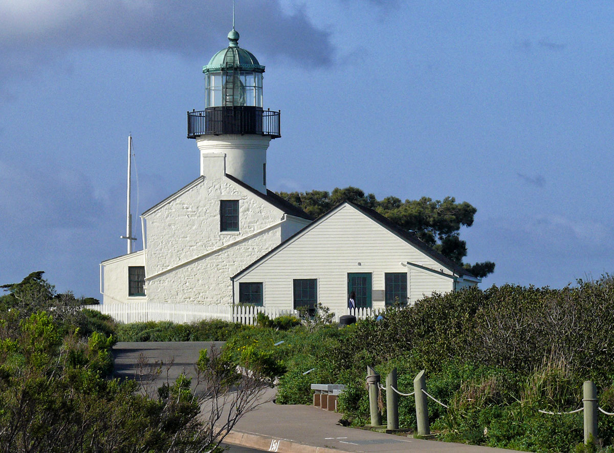
On a visit to California, a few years ago, we had to travel to San Diego from San Francisco and decided that it might be fun to drive down the coast using the PCH rather than fly between the two cities. So from that decision a little road trip was born.
This is the third section between San Simeon and Santa Barbara
Distance: 151 miles
Time: 2 hours 48 minutes without stopping
A new day dawned with no rain, the sun was shining and there was a soft wind and all was good. We almost felt like abandoning our drive south and turn around to do the Big Sur again! But we had to be in San Diego in two days time so south it was. We set off without breakfast as we planned on stopping in Cambria a small town further south to try and find these Olallieberry* pies we kept hearing about.

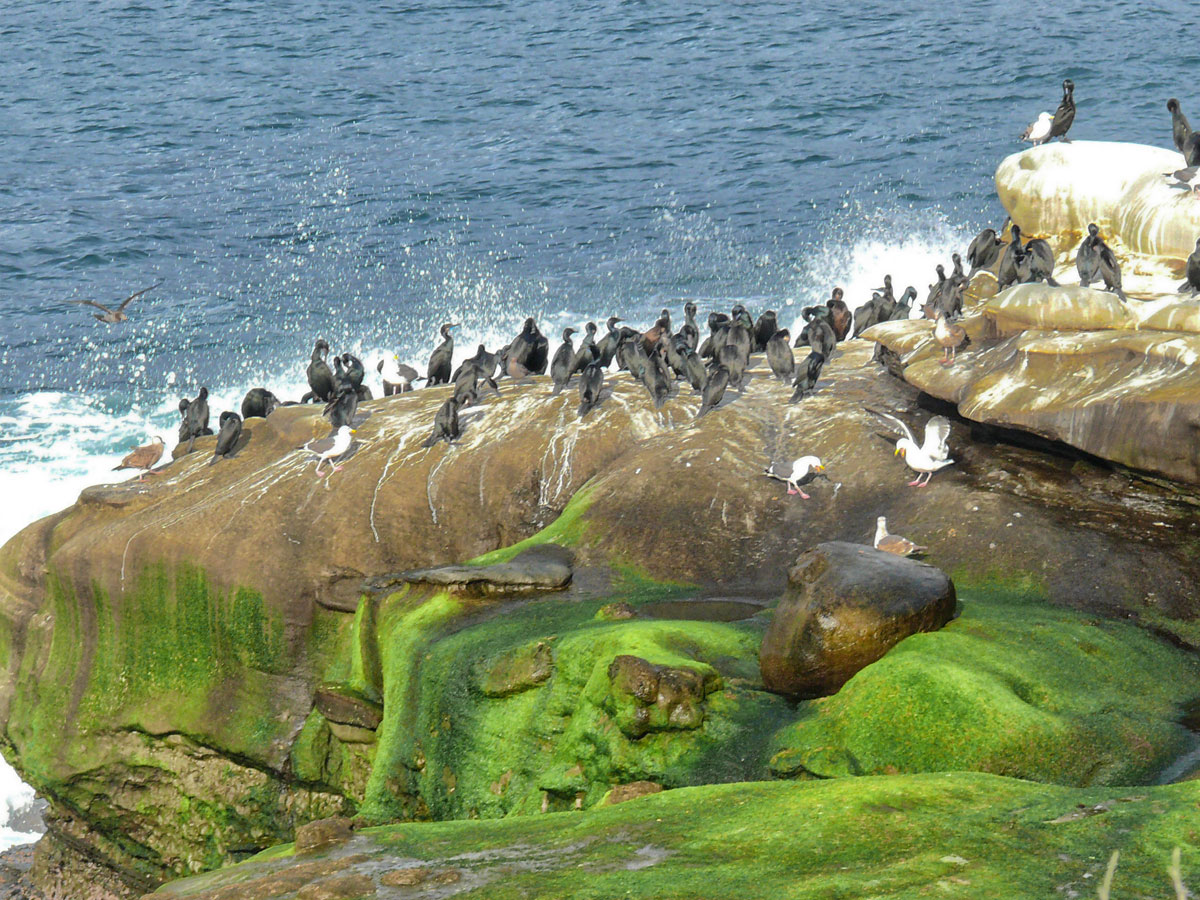
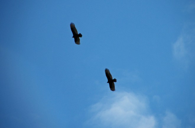
We stopped off briefly at Moonstone Beach (San Simeon State Beach Park) to watch what looked like California Condors swirling high above us, before slipping off the Cabrillo Highway into Main Street Cambria where we found a small bakery and had our olallieberry* pies and coffees sitting on an outside terrace in the sunshine people watching. What could be better?
*(Olallieberries are a cross between a loganberry and a youngberry, which themselves are hybrids of raspberry, blackberry and dewberry). Indeed. Trying working that one out!
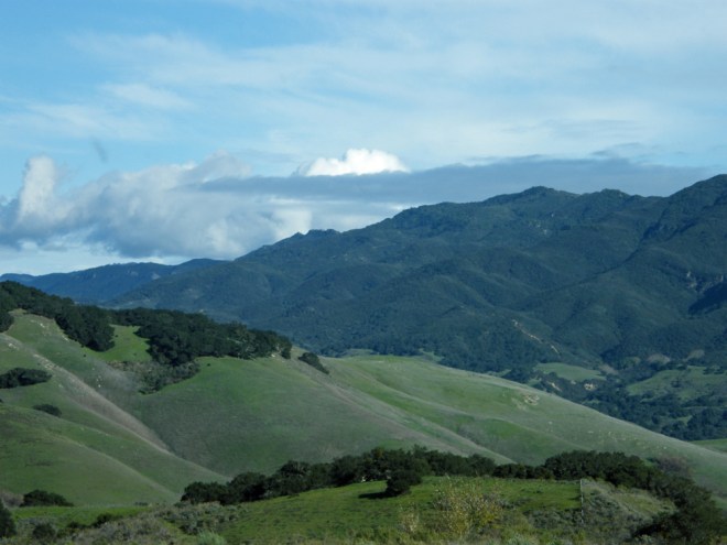
 Continuing south in the sunshine our spirits lifted. The coastal route was lovely and the views great, though the landscape is not as impressive as the Big Sur. A large rock loomed in the ocean to our right which turned out to be Morro Rock a volcanic plug attached to the shore by a causeway making it a ‘tied’ island.
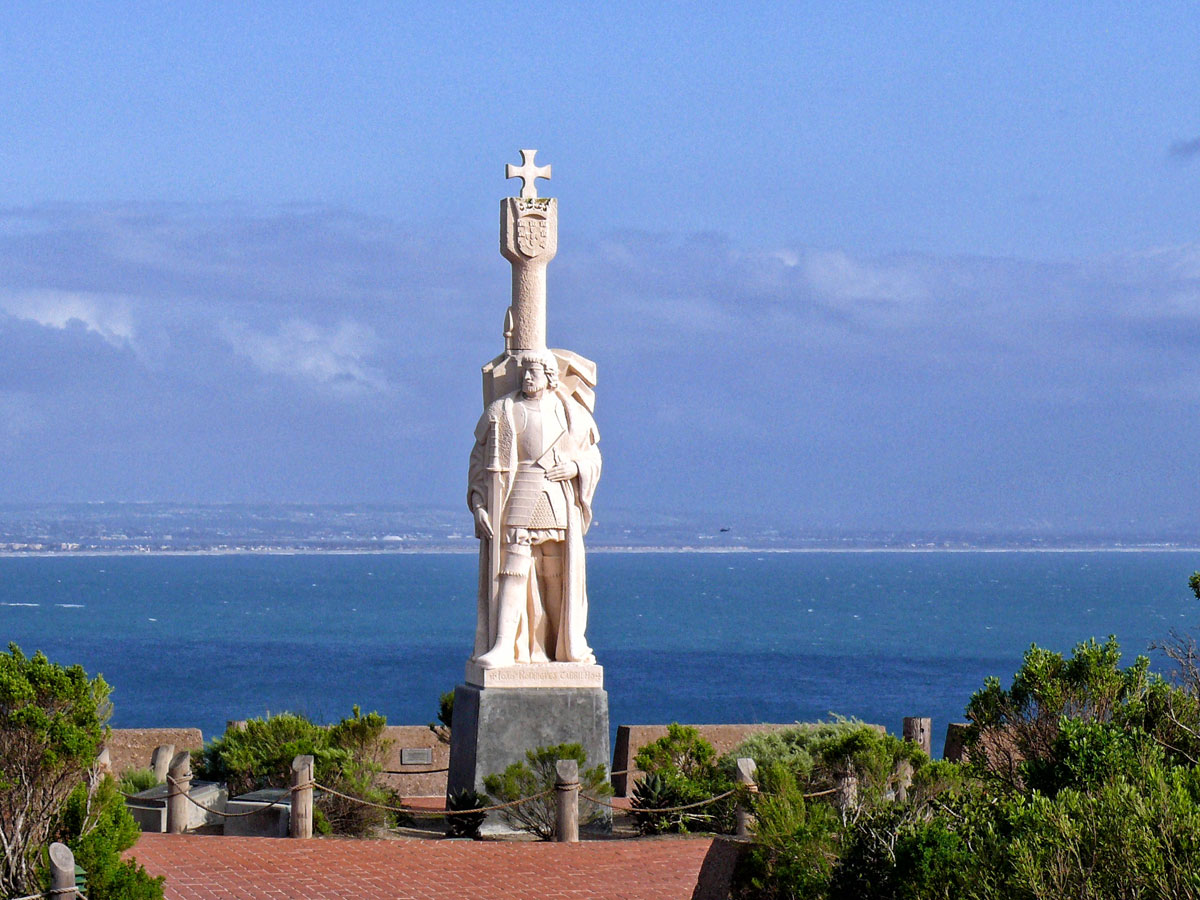
The rock was named “El Morro” (Spanish for crown-shaped hill) by Juan Rodriguez Cabrillo and is the last of a line of long-extinct volcanoes from San Luis Obispo to Morro Bay, known as the nine sisters.
Whilst there it began to rain heavily again so our walk around the base of this huge rock was cut short. Not many miles further on lies San Luis Obispo, the end of the scenic central coast road and where I had aimed to stop off at the mission, but completely missed any signed directions to it and ended up in the middle of a rather lovely looking, if somewhat damp, town.
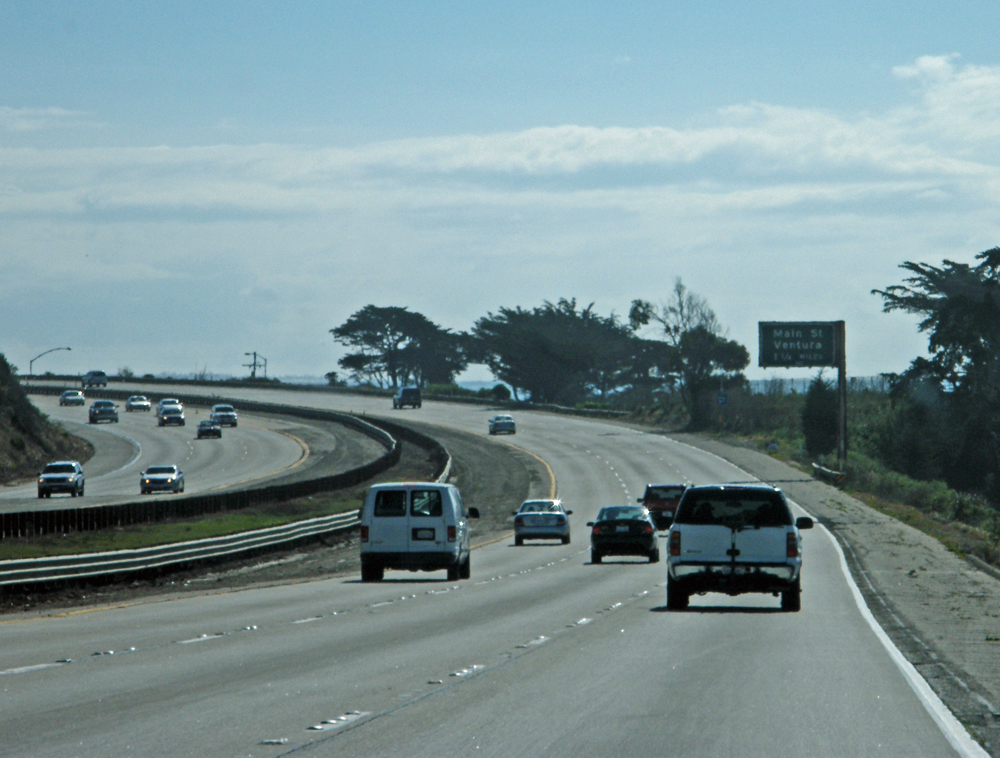
The rain was now falling heavily again, so much so that on reaching the three lane freeway 101 the wipers couldn’t keep up with the torrential rain and I was concerned that we’d rear end someone! The road here skirts past Shell beach and is virtually in the ocean, which is where I thought we might end up. Miraculously as we parted from the 101 back onto PCH at Pismo Beach, the deluge stopped as suddenly as it had begun.
Here the road wanders through Guadalupe and Lompoc before joining the 101 again into Santa Barbara.
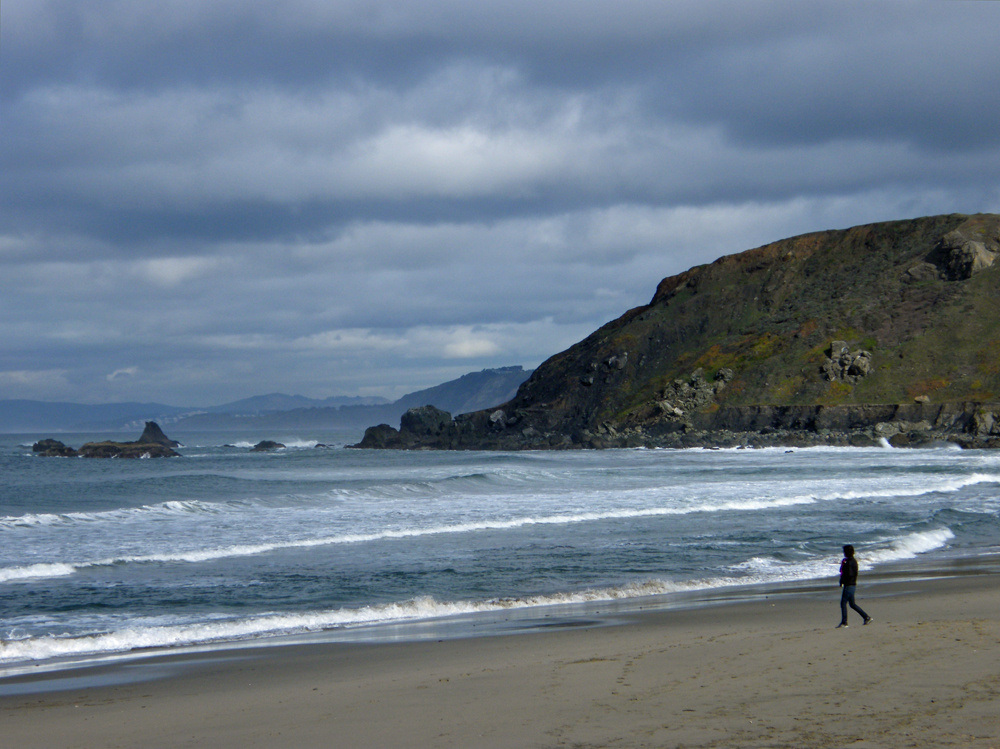
Santa Barbara is known as the ‘American Riviera’. Lush, sun drenched and nestled in the gently rolling hills above the Pacific Ocean, Santa Barbara is known for its Moorish architecture, colourful history and beauty. In one direction lie the Santa Ynez Mountains and in the other the Pacific Ocean, barely five minutes from downtown. It is a very popular place with holidaying Americans with its permanent summer and consequently is not a cheap place to stay. We found a vacancy at the Inn by the Harbor, a motel about three blocks from the palm-lined beach. The motel was clean and basic, but not very attractive and being on the ground floor it didn’t feel very secure either, though far away from the notorious train station area to walk safely to the marina.
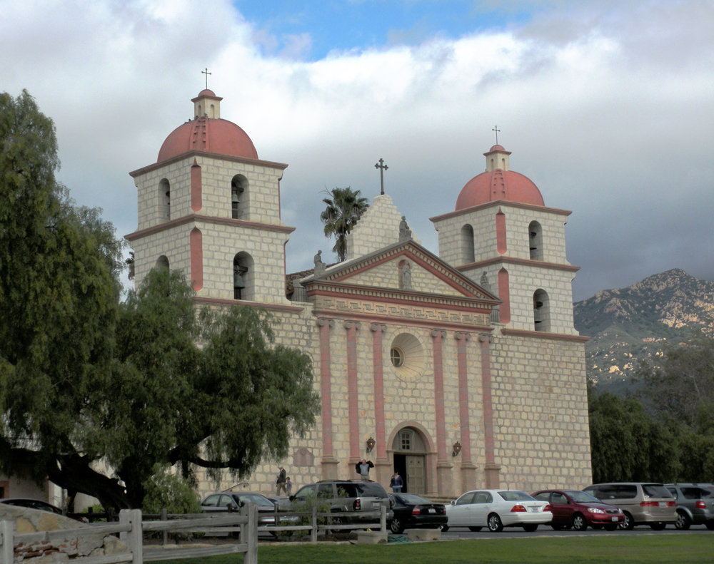
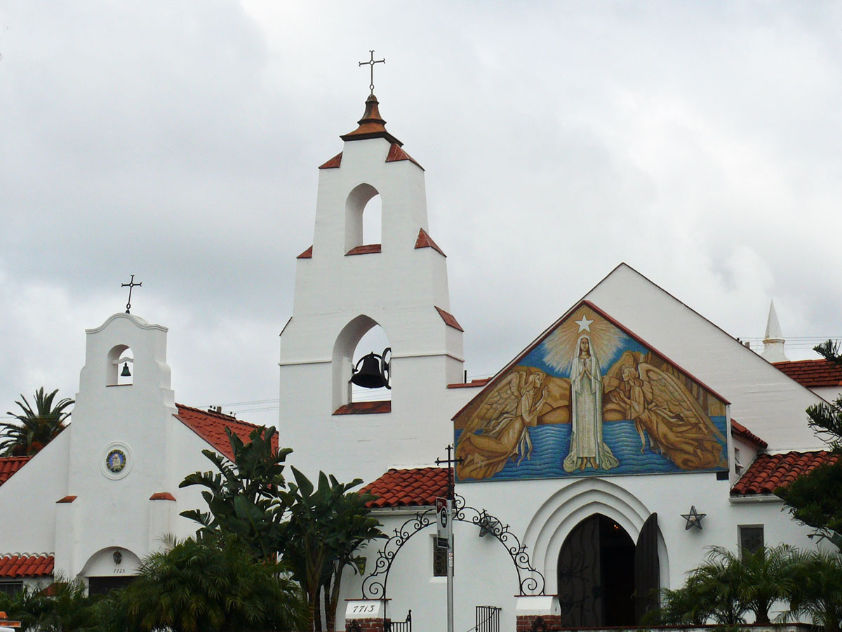
 First we visited the Santa Barbara Mission, which is the 10th mission and founded in 1786 although the current building was rebuilt in 1925 after an earthquake destroyed the church. The mission with its twin bell towers and Doric façade is located on a hilltop overlooking the city and providing a spectacular view of the ocean.
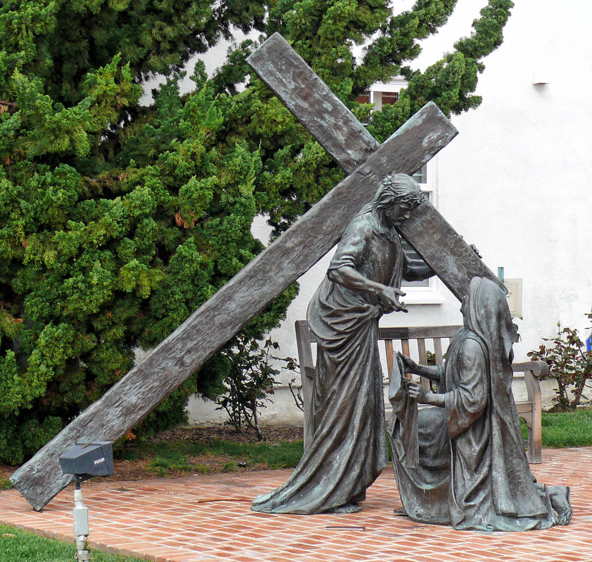
Unfortunately the missionaries who brought religion and trousers to the local Chumash Indians also brought influenza and smallpox that killed the 4,000 Indians who are buried in the mission cemetery.
 Later after a stroll along the Shoreline Park and Ledbetter Beach accompanied by a pretty sunset we headed for Chuck’s Waterfront Grill on the marina where we had one of the most delicious steaks we have ever had in California along with a couple of respectable Mai Tai cocktails.


")
")
")


")
")

")


")
")

")
")
")