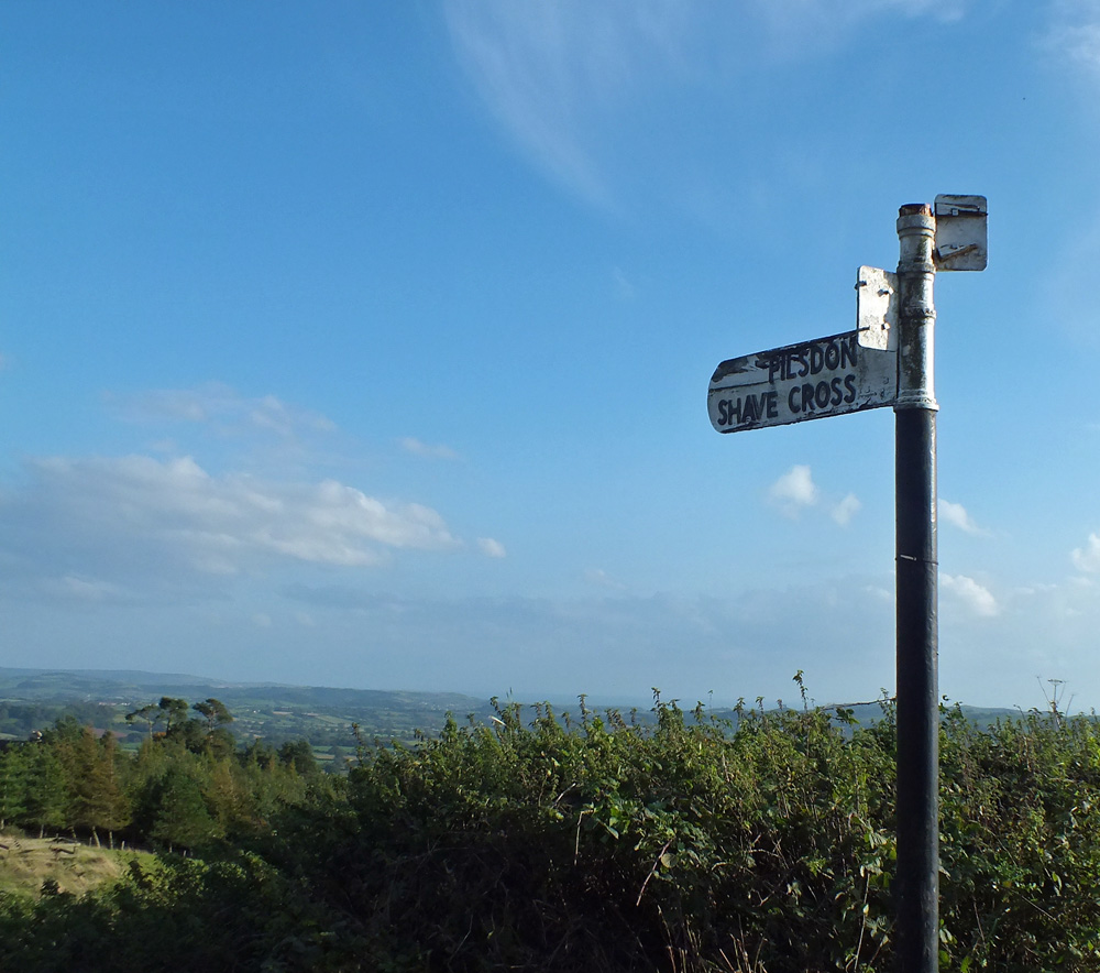
Like a lot of things in life finding Pilsdon Pen was a fluke. We were driving back to Bridport in Dorset after visiting Lyme Regis and me being, well, me, decided to return via the country roads instead of the direct route. Admiring the views surreptitiously as I was driving along the narrow winding road, it was a relief to find a layby to pull into. Obviously a spot with a view as there were already a couple of cars parked there.
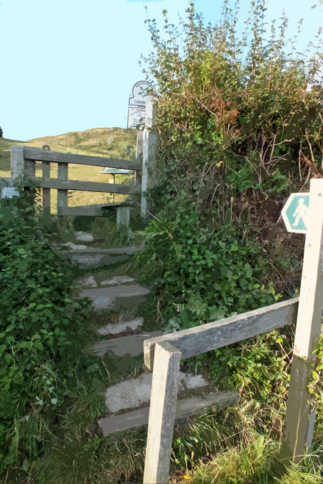
The panorama was spectacular, rolling hills, cliffs and in the distance, the sea. After taking a few photos, I headed across the road to a stile that I had spied which led to a path up a hill. Thinking that I might get even better views from the hill, I hopped over the stile.
And found that I was on Pilsdon Pen, the highest point in Dorset.
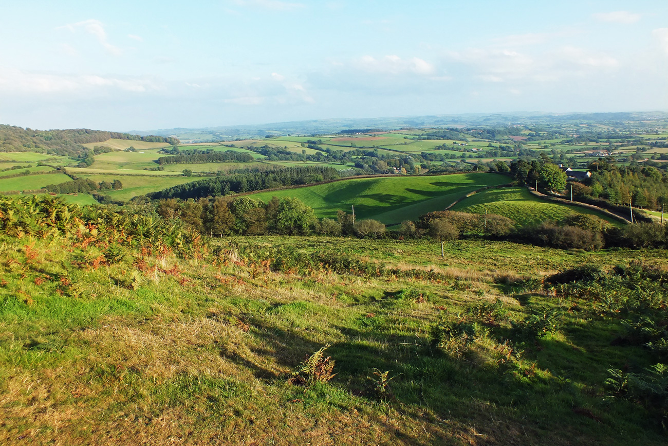
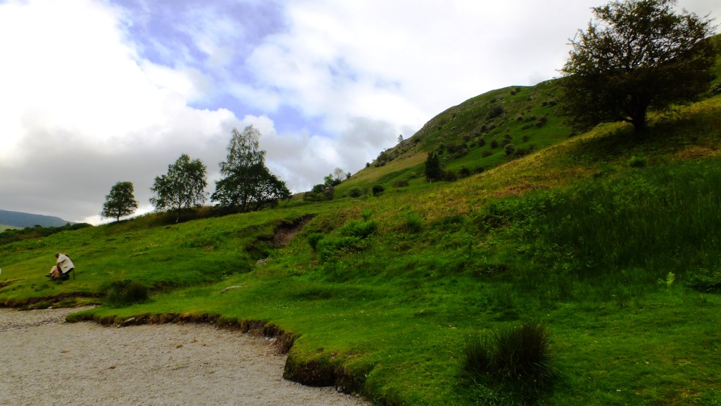
So of course I had to climb to the top, and after a bit of huffing and puffing and a stop or two at a conveniently placed bench, I got to see the 360 degree views.
Steeper than they look
Nearly there
Views to the east
On the top
The Beacon
View to the south
And I was particularly fascinated by the late afternoon shadows of the trees bordering that field.
Serendipity 🙂
If you enjoy a walk, short or long, then you may enjoy visiting Jo’s Monday Walk where you are in for a treat.
A last minute booking to Bridport in Dorset for a birthday and wedding anniversary celebration was made in lieu of the proposed trip to Seattle. After a gorgeous sunny September, autumn also decided to come along too, so it was a mixed week of sunshine and showers and even a few dramatic thunderstorms with lightning and thundering waves.
Bridport
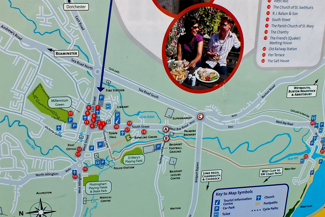
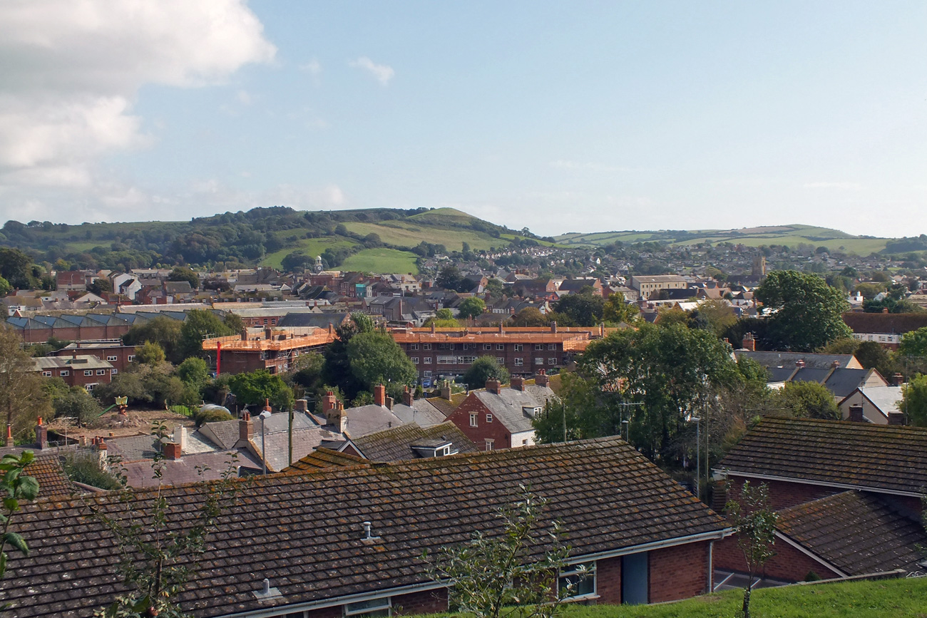
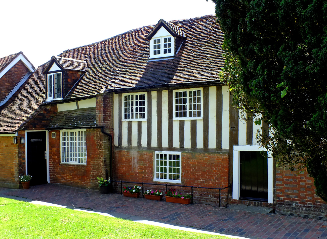
Bridport is a quaint market town in West Dorset and only a mile from the famous Jurassic coast at West Bay with its lovely harbour and shingle beach. It has an open and airy feel to it because of the wide streets that contain several hundred listed buildings many of them built to accommodate the twisting and dyeing of ropes and nets during the late 12th century. It also has a lively arts and literary scene.
East Street
Town Hall
The Ropemakers
The Olive Tree Café
Georgian Architecture
The Bull
Greengrocers
Although in a self-catering house I don’t consider it a holiday if I do all the cooking so we ate take away fish and chips from Longs in West Street which were excellent – thin batter on the succulent cod and crisp chips. And the best deal was a thin crust pizza, salad and 1/2 pint of local cider from The Stable, behind the Bull hotel on East Street – £10 on a Tuesday. If you like it hot go for the Blaster! Or what about the Bucky Doo?
Burton Bradstock
The Hive Beach Café
Good fish and seafood can be found in local pubs and restaurants, but head to the Hive Beach Café, a tarpaulin-sided hut which is a popular place for lunch as it is right on the beach at Burton Bradstock, 4 miles from Bridport along the shingle Chesil Beach. It is very busy at the weekend, even at this time of year, but worth the wait (no bookings) for the fresh lobster, sea bass or grilled sardines. An obvious choice for Saturday’s birthday lunch.
On the Chesil Beach
Golden Cliffs
East to Portland Bill
Dorset Sheep
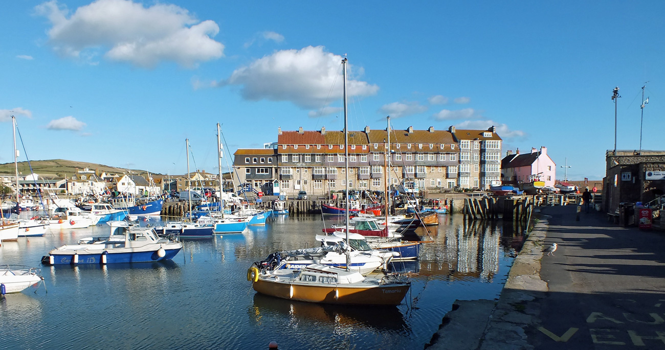
West Bay
Only a mile from Bridport is West Bay with its newly designed harbour, vertical sandstone cliff glowing like molten gold in the late afternoon sun and sweeping shingle beach. West bay grew up as the harbour for nearby Bridport and was Thomas Hardy’s “Port Bredy”. More recently it was the location of the TV drama ‘Broadchurch’. Brightly coloured fishing boats bob in the harbour, fishermen line the harbour walls or the edge of the surf, and cute wooden shacks and kiosks line the harbour walk where you can buy fish and chips, fish stews, ice-creams. We stopped for dessert – a cone of delicious Purbeck fig and honey ice-cream.
Fishing Boat
West Bay – west
West Bay – east
Cottages
Kiosks
Lyme Regis
The main attraction in Lyme is the historic medieval harbour known as The Cobb featured in the ‘French Lieutenant’s Woman’. Known as the gateway to the Dorset Jurassic Coast, Lyme Regis provides a good base for visiting walkers. The town has long inspired artistic and literary visitors including, Tolkien, Tennyson and Jane Austen who set the novel ‘Persuasion here. There are excellent facilities with plenty of restaurants, pubs and cafés as well as an interesting selection of galleries and shops to explore in the old town which dates from the 14th century.
Ammonites
Beach Huts
Anchor
The Cobb
The Cobb
As always on my holidays there were trips to the coast and visits to gardens. Not a lot of chances to visit historical places at this time of year and with the nights closing in, the days are shorter, but we had a wonderful time and hope it won’t be decades before we return.
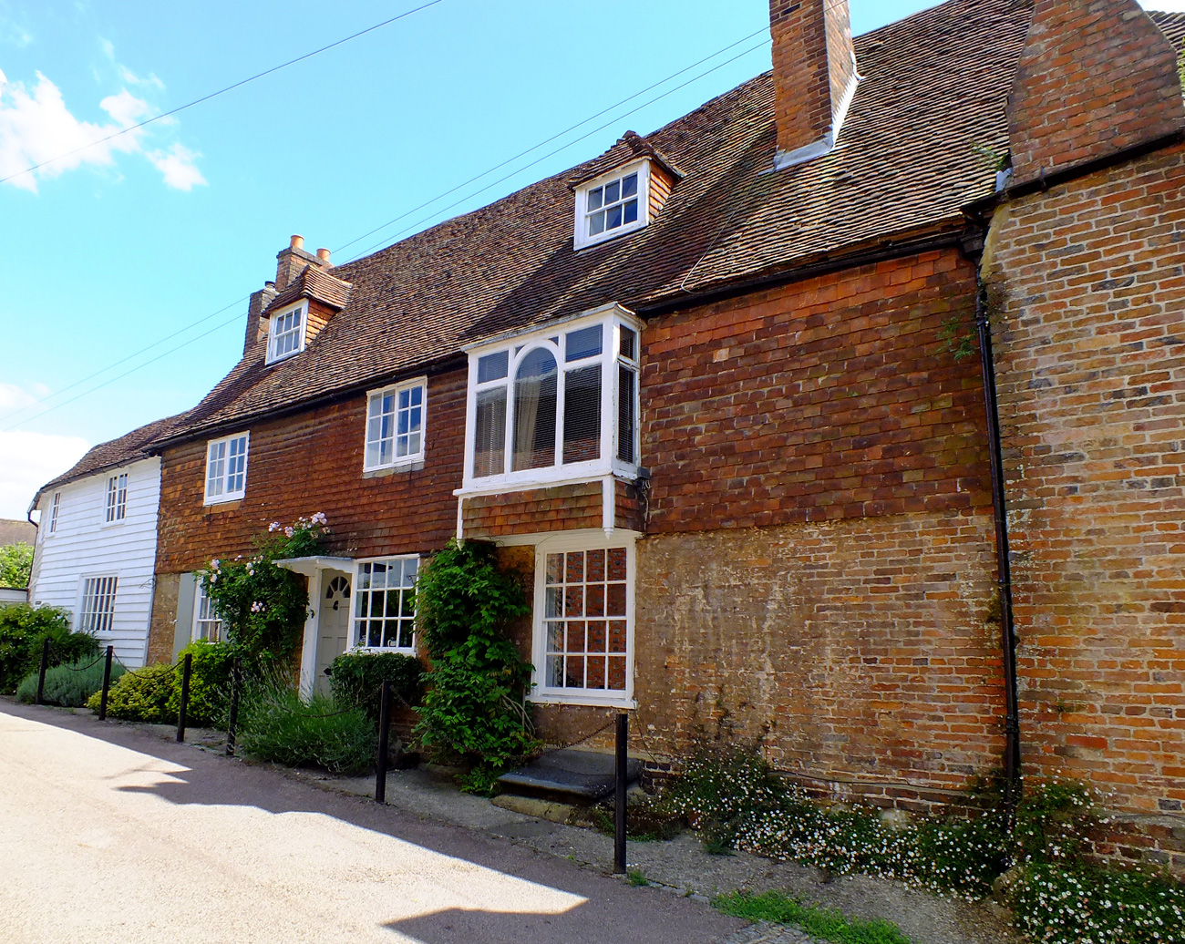
Let me introduce you to one of the prettiest towns in the Kent High Weald, only three miles from the famous Sissinghurst Gardens created by Vita Sackville-West. You may enjoy the many types of weather-boarding and architecture, independent shops, the narrow medieval streets and some interesting buildings all within an easy walk of each other including a beautiful church and a smock windmill. It is the picture of a small English town and on a warm summer’s day with church bells chiming and white sails shimmering, let’s go for a stroll around Cranbrook.
Cranbrook means ‘brook frequented by cranes or herons’. The name is first recorded as Cranebroca in the Domesday Monachorum of 1070, but as the name of a stream, not a settlement.
Leave the car in one of the free car parks and head down the High Street to the Vestry Hall built in 1859 as Cranbrook’s court-housewith the Old Fire Station below. Now the Weald Information Centre.
Head up the steps on the left to St Dunstan’s Church. Outside on the tower is a carved figure of Father Time. Local legend says that he comes down every night and scythes the churchyard grass to keep it neat and tidy.
Opposite the church is Church House, formerly Dence’s School, which was built in 1567 by Alexander Dence. It was used as an elementary school for 300 years.
Carry on around the church and through the churchyard which leads into another small car-park and back into the town.
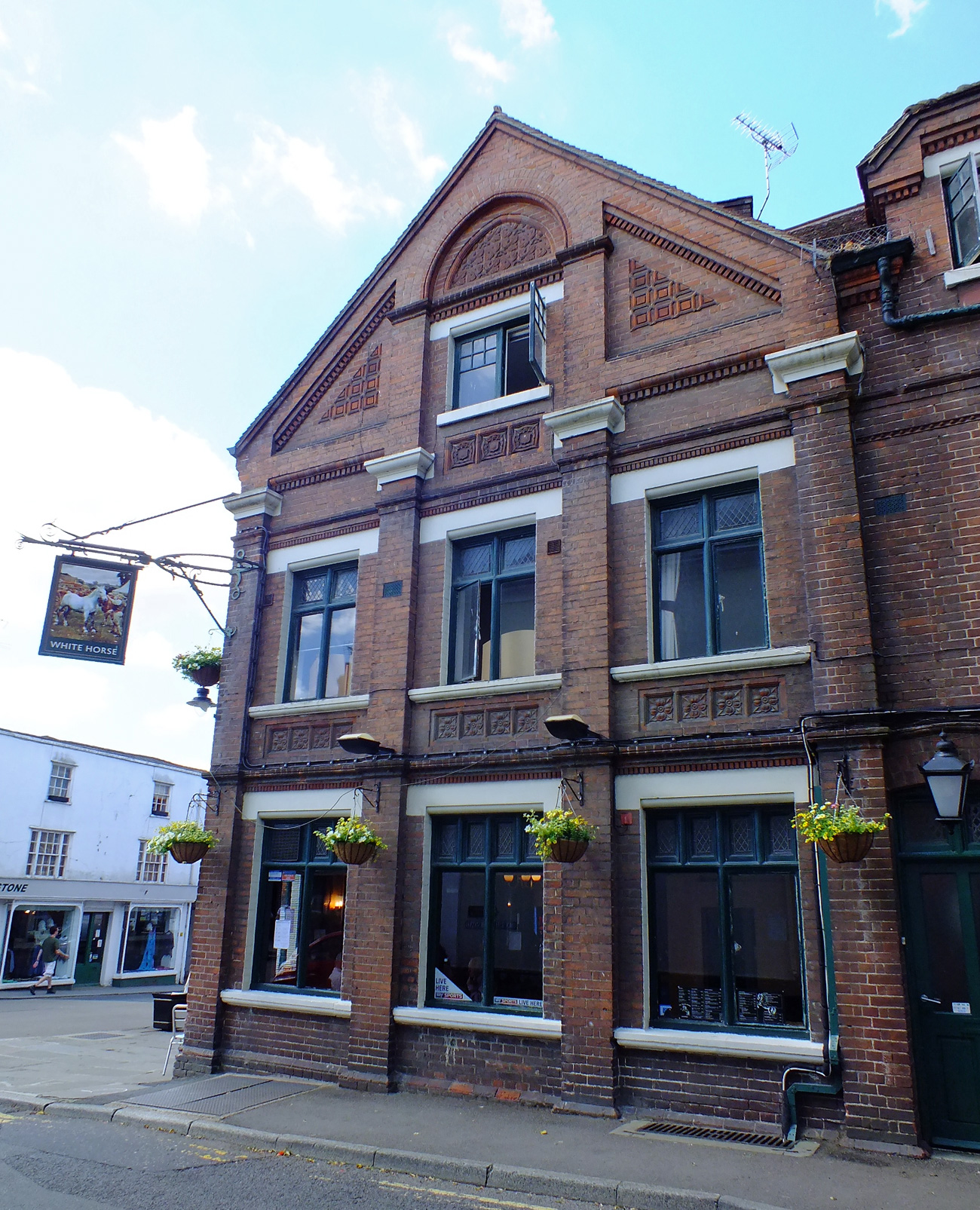
Stop to look at the decorative bricks of the White Horse public house on the corner.
Straight on down Stone Street you will catch glimpses of the windmill ahead of you.
and lots of lovely shops…
On the right hand side several narrow passageways lead off Stone Street. One passage passes Hatter’s cottage, which was William Tooth’s water-powered hat factory.
Pop around the corner to see Cranbrook School. John Blubery (d 1518) bequeathed funds for “a frescole howse for all the poor children of the towne”. The school received a charter from Queen Elizabeth I in 1574. It is now a co-educational grammar boarding and day school and still State-funded.
Retrace your steps and turn left onto St David’s Bridge where you will find a delightful Arts and Crafts House which used to be a restaurant. Originally a temperance coffee house with reading room the Old Coffee Tavern was built in 1890 by Clement Cramp (1816-1894) for working men.
Opposite is a row of white weatherboarded houses and The Chapel of Strict and Particular Baptists. Built in 1785, this is the oldest existing place of worship for Dissenters in the Parish.
Continuing up Hill Road with Hill House on the right. Dating from the late middle ages, when the town was the centre of a thriving woollen industry, Hill House is a medieval clothier’s house. Note its lovely door.
We have now arrived at Cranbrook’s windmill which is the tallest surviving smock mill in the British Isles. Built in 1814 it dominates the town. It is still in working order, grinding wheat regularly to produce wholemeal flour which can be purchased from the mill shop. The Windmill is usually open Saturday, Sunday and Wednesday afternoons in the summer. Note: not on a Monday.
Stepping into Cranbrook is like stepping back in time.
If you enjoy a walk, short or long, then you may enjoy visiting Jo’s Monday Walk where you are in for a treat.
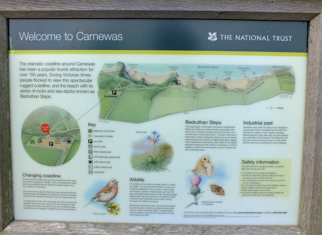
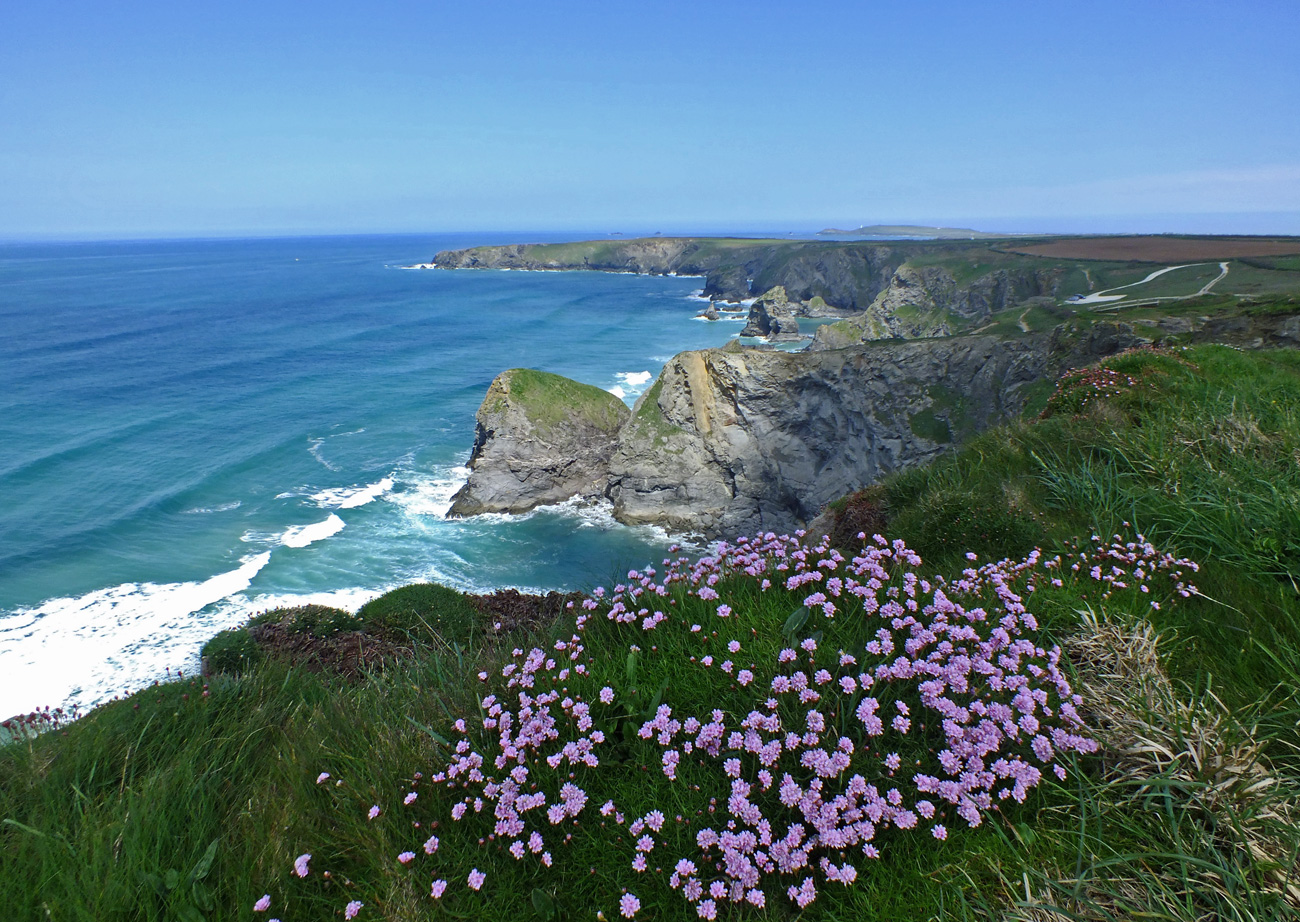
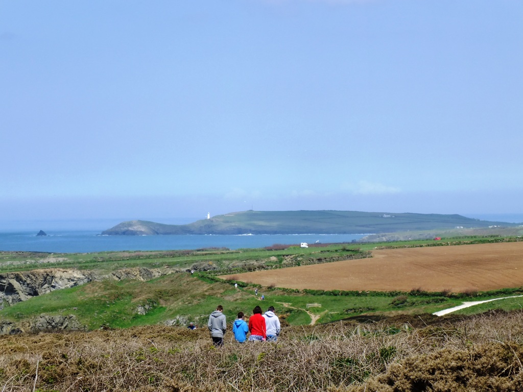
We started at the NT car park at Carnewas (along the north Cornish coast half-way between Padstow and Newquay) where there is a lovely tea-room which is open throughout the summer months. From here you cannot see anything of the coastline. Well established paths lead you through the gorse on a detour to the cliffs from where you have amazing views of the cliffs in both directions, along to Trevose Head and the spectacular sea stacks at Bedruthan beach and south towards Mawgan Porth.
Coastal Path looking southLooking north to the Bedruthan StepsLooking Down
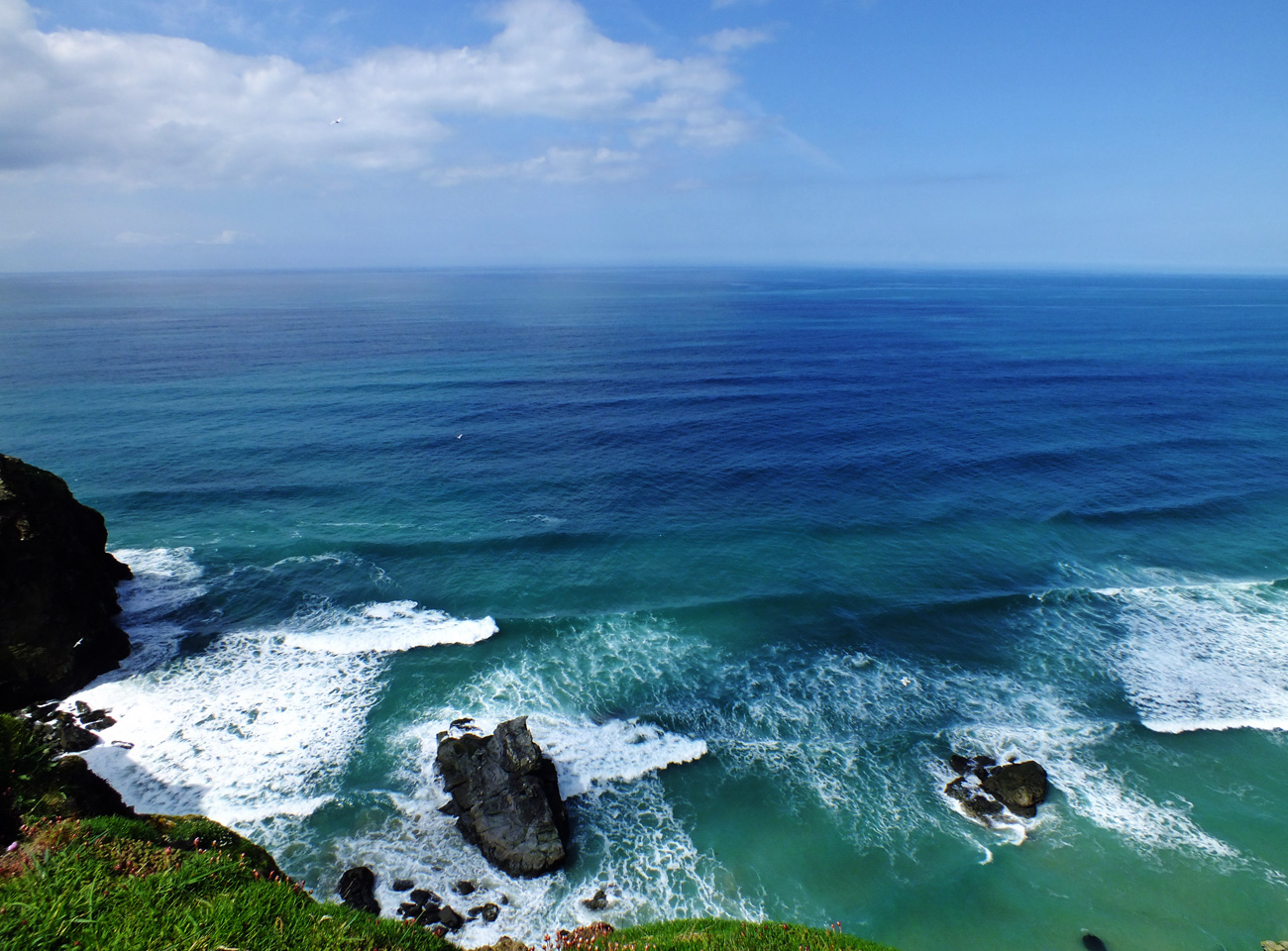
After admiring the views return to the main path and continue down the wide steps to the bottom where you have good views over the beach when there is a low tide, or the waves crashing over the rocks when there isn’t.
I must go down to the seas again, to the lonely sea and the sky,
~ John Masefield
Path towards Bedruthan Steps
Steps
Not this way
When the tide is out you can take the steep stone beach steps to access the beach. (These steps are closed from November and there is no swimming from this beach because of the currents).
Steep stone steps to the beach
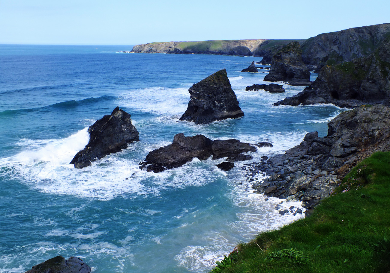
Bedruthan Steps
Gull talk…
The rest of the route includes slopes, steps and unfenced cliff top, none of which are attractive to the OH, so we returned to the café for a cool glass of ginger beer.
Trevose Head in the distance
There is no record of the name “Bedruthan Steps” before 1847, but it is thought to have originally referred to one of the two cliff staircases to access Carnewas mine (presumably the one nearer to the village of Bedruthan). The name later also became used for the name of the beach itself.
The legend of Bedruthan Steps was invented for Victorian tourism, said to be taken from a mythological giant (Bedruthan) who used the rocks as stepping stones. These were formed after the last Ice Age, when rising sea levels eroded the surrounding soft shales to leave the harder rocks as islands. Each of the 5 rock stacks has a name (Queen Bess, Samaritan Island, Redcove Island, Pendarves Island and Carnewas Island). This is a very short walk, but can be extended if you continue along the south-west coastal path to Porth Mear or in the other direction to Mawgan Porth returning through the countryside.
If you enjoy a walk, short or long, then you may enjoy visiting Jo’s Monday Walk where you are in for a treat.
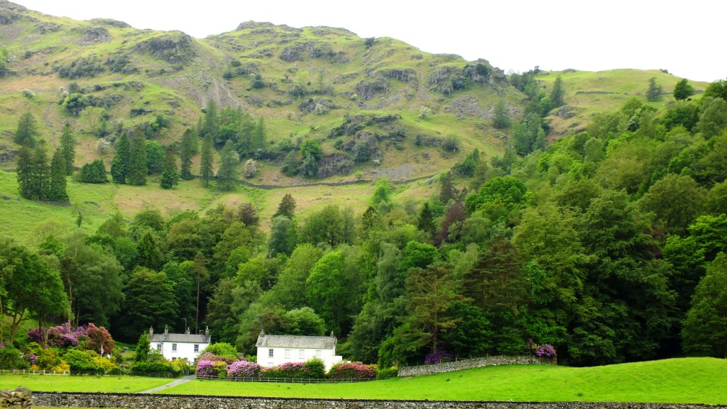
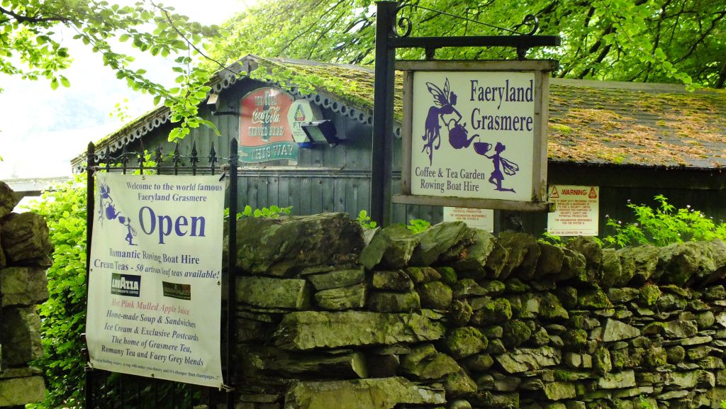
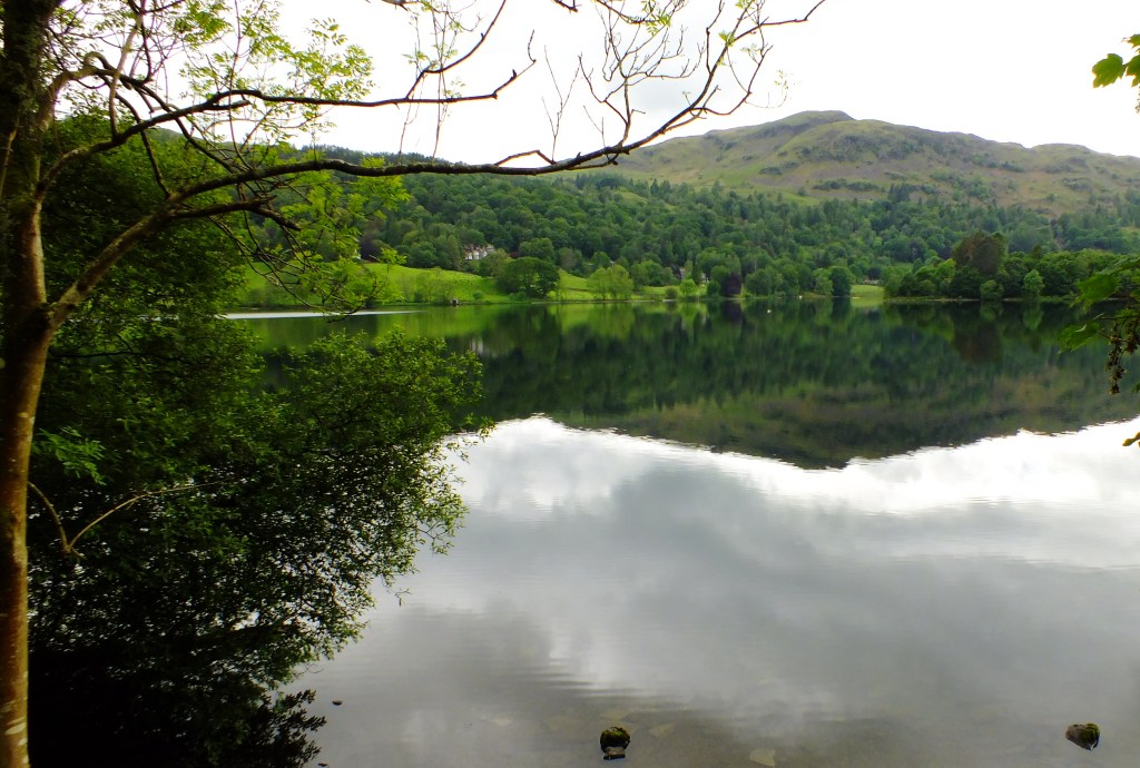
Whilst in the Lake District last month – time flies – we did a couple of lakeside walks. One, around the pretty picture postcard village of Grasmere is about 3 miles long which is long enough for me, especially as on this day, rain threatened. The lake is one of the smallest and a full circuit should not take long unless, like me, you stop to take dozens of photographs. The start and end of the walk is on the road, but it is fairly level once you reach the lake shore and there is a lovely lakeside beach at the southern end.
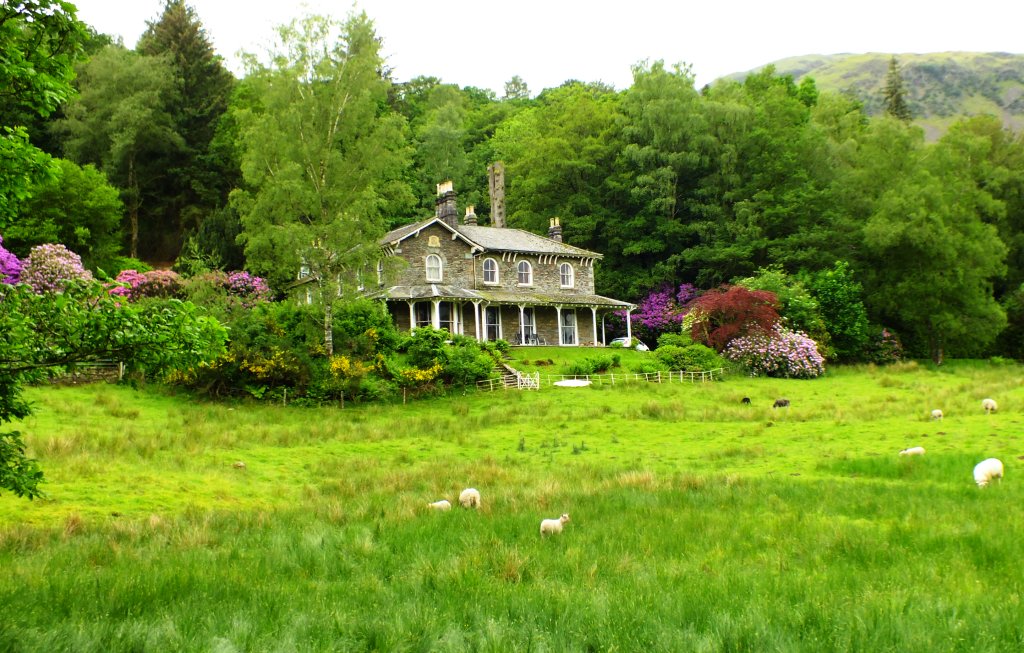
After wandering around the lovely village for half an hour or so, we headed off along Red Bank at the west of the village (near the church) and up hill where stunning homes nestle amongst the woodland filled with vibrant pinks and mauves of rhododendrons.
Where fayries wander
Selma and Siri’s Lakeland cousins perhaps?
and bright yellow Welsh poppies huddle alongside the hedgerows. In fact I am reminded of Wales here. Though it feels lighter somehow.
Red Bank
Beautiful Woodland
Pretty cottage
The Garden House
One, the wooden Garden House, appealed to me, but I dare say the price is high as well as the terraced garden, but oh, what a view.
The road continued meandering around bends, with no sight of a lake.
Then, a glimpse, through the trees and not long after we found the rough track leading down to the shoreline.
Careful with those loose stones
A neat track to the shore
And a lovely house by the side
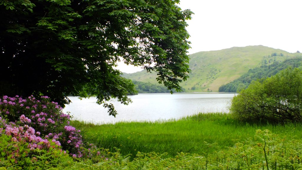
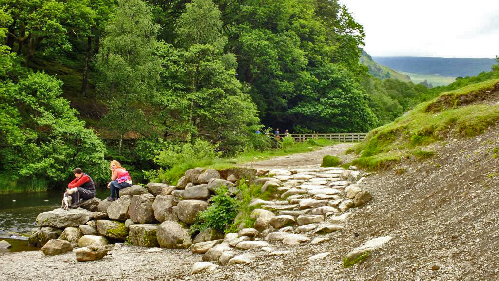
The views once we reached the shore were amazing. Lush green fells rearing up all the way around the lake, the village now shrouded in cloud and to the south, just a glimpse of the beach we were heading to.
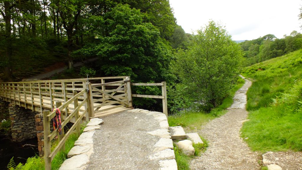
And neat wooden boardwalks to help us safely over the streams that feed into the lake.
Boadwalk
A family of shovellers
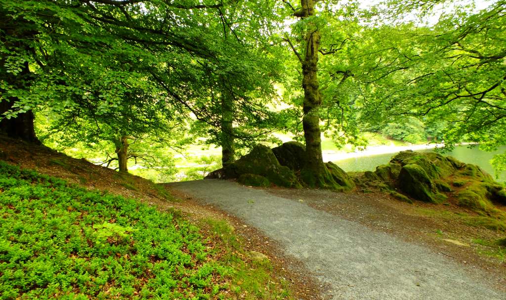
Lakeside Path
Ripples in the rainLakeside Path
The path follows the shoreline until you reach the southern end, where you head up slightly into woodland, before coming out onto the beach. This must be a lovely place for a picnic in the summer months. It was, however, a little drizzly today.
But with beautiful reflections in the mirror-like surface
We found more people at this end of the lake (and discovered later that there is a car-park not too far away), some sitting admiring the view, others walking their dogs, and other fit people climbing up the fell behind us.
Now we had to decide which way to go. There was no obvious sign, so we headed over the wooden bridge and into the woodland. Only to get lost. Later we realised that we should have simply followed the path alongside the river as that led to the road and car-park. It was awfully wet though.
Into the wood
Finally, after doubling back on ourselves a couple of times, we found a way out of the wood and onto the very busy A591 road which leads to Windermere. Fortunately we only had a few metres to walk before hitting the pavement which took us back into Grasmere. Can you spot that lovely house overlooking the lake?
A last view of the lake at the northern end.
If you enjoy a walk, short or long, then you may enjoy visiting Jo’s Monday Walk where you are in for a treat.

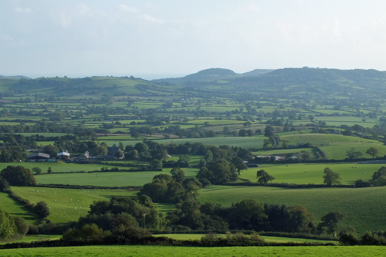
 So of course I had to climb to the top, and after a bit of huffing and puffing and a stop or two at a conveniently placed bench, I got to see the 360 degree views.