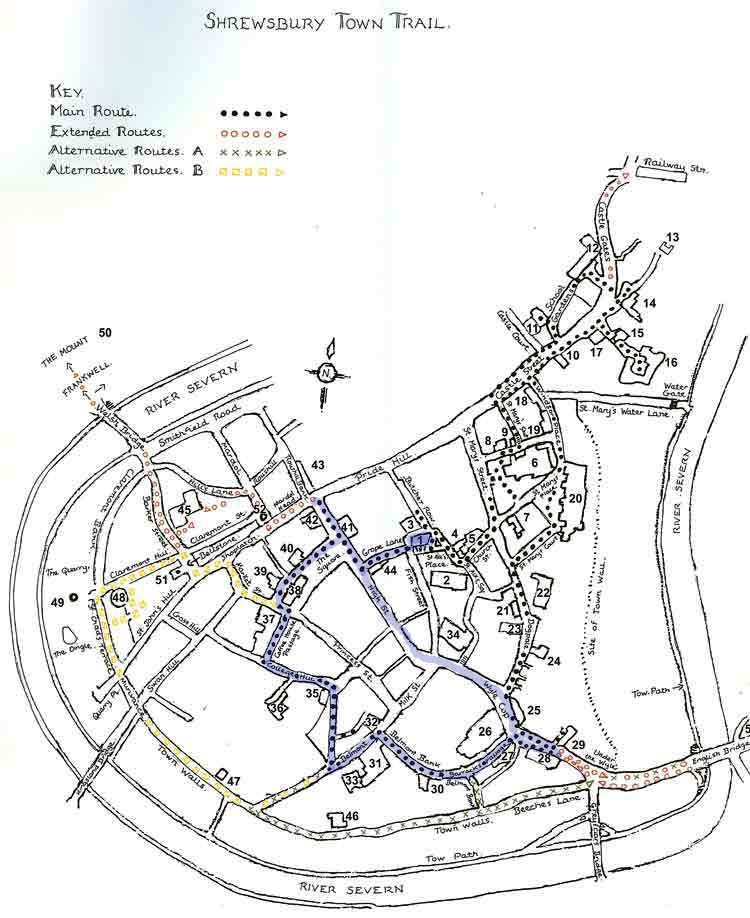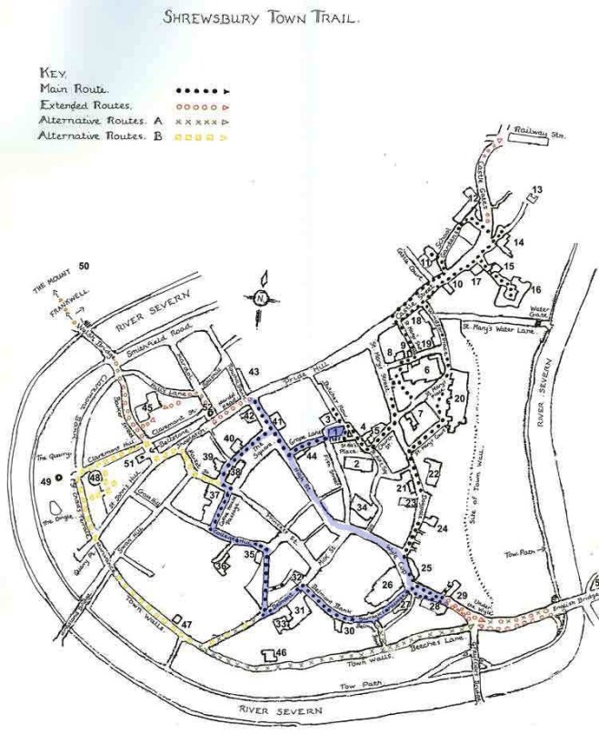
Leave Bear Steps on Fish Street (1) via Grope Lane to exit onto the High Street. On the corner is the former Cross Keys Inn. (44)
(The medieval folk were quite apt to call ‘a spade a spade’, or in this instance, the heart of the red-light district was called Grope Lane (ahem… shortened from something even more unacceptable). These areas were often found in the centre of market towns, such as Shrewsbury, to please the visiting market tradesmen who came to the town and whose stalls were close by, as well as the locals. St Alkmund’s Place was used for the market until the thirteenth century. Most towns have renamed their streets to something more genteel, such as Grove or Grape or Grave – you get the picture. Shrewsbury has retained its name, but then with names like Mardol and Dogpole you can sort of see why!)
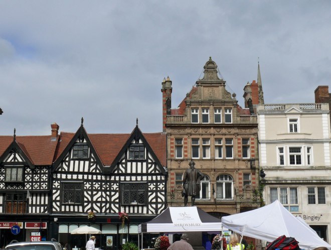
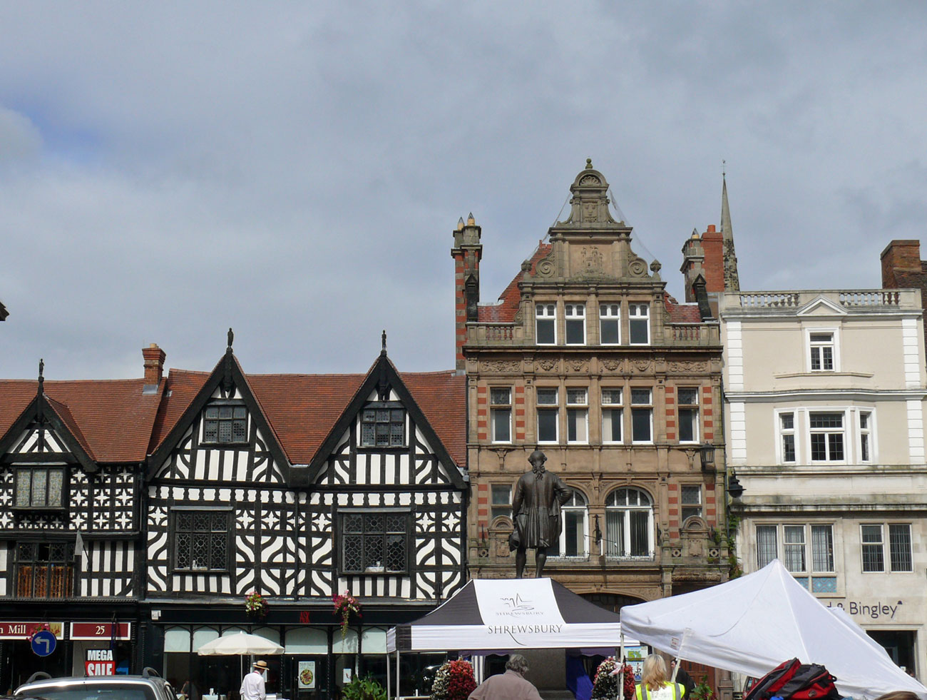
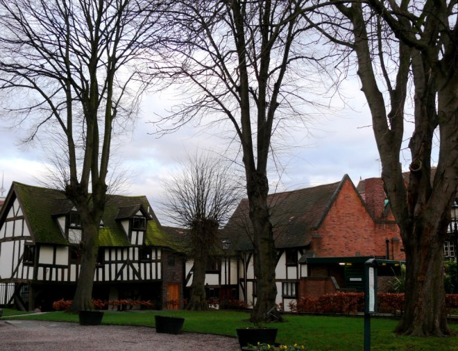
Opposite is the Square. From here you can see several important buildings: Owen’s Mansion (41), the former Plough Inn (40), Wolley’s House (39), the Old Market Hall (38), the former Music Hall (37), and the very interesting Alliance Assurance Company with its Flemish styled ornate building of pink banded brick and grey stone. Look at the top of this building and you will see the loggerheads (leopards or lions) the Salop coat of arms. Continue reading Scrobbesbyrig/Shrewsbury: Town Trail Part 2


")
")