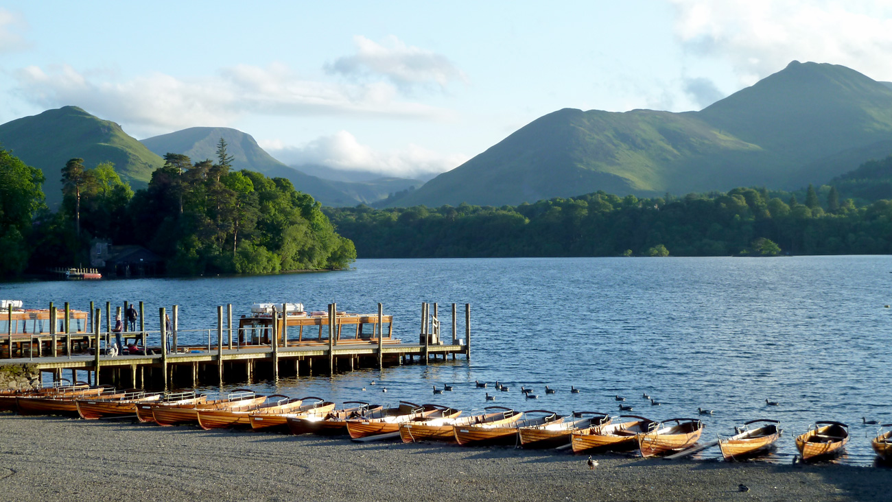
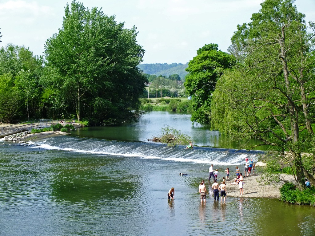
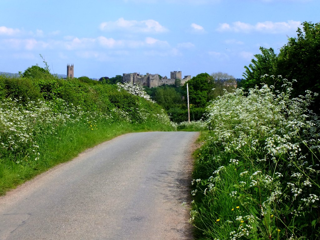
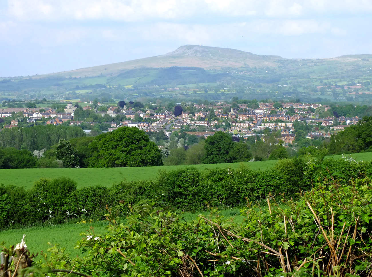
Whilst in the Lake District last month – time flies – we did a couple of lakeside walks. One, around the pretty picture postcard village of Grasmere is about 3 miles long which is long enough for me, especially as on this day, rain threatened. The lake is one of the smallest and a full circuit should not take long unless, like me, you stop to take dozens of photographs. The start and end of the walk is on the road, but it is fairly level once you reach the lake shore and there is a lovely lakeside beach at the southern end.
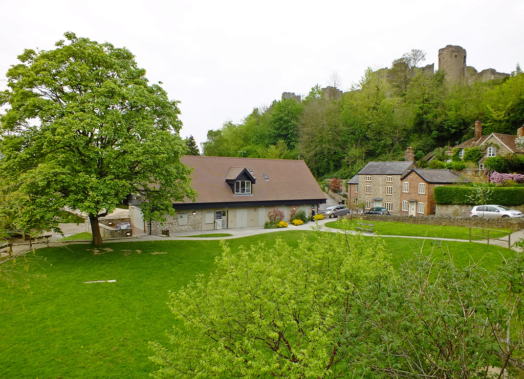
After wandering around the lovely village for half an hour or so, we headed off along Red Bank at the west of the village (near the church) and up hill where stunning homes nestle amongst the woodland filled with vibrant pinks and mauves of rhododendrons. 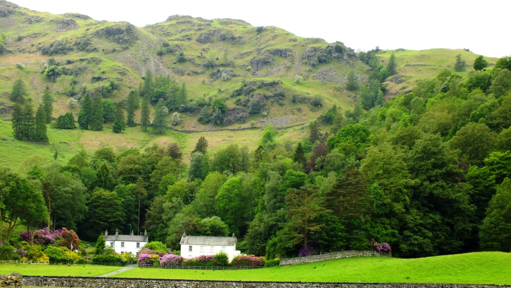
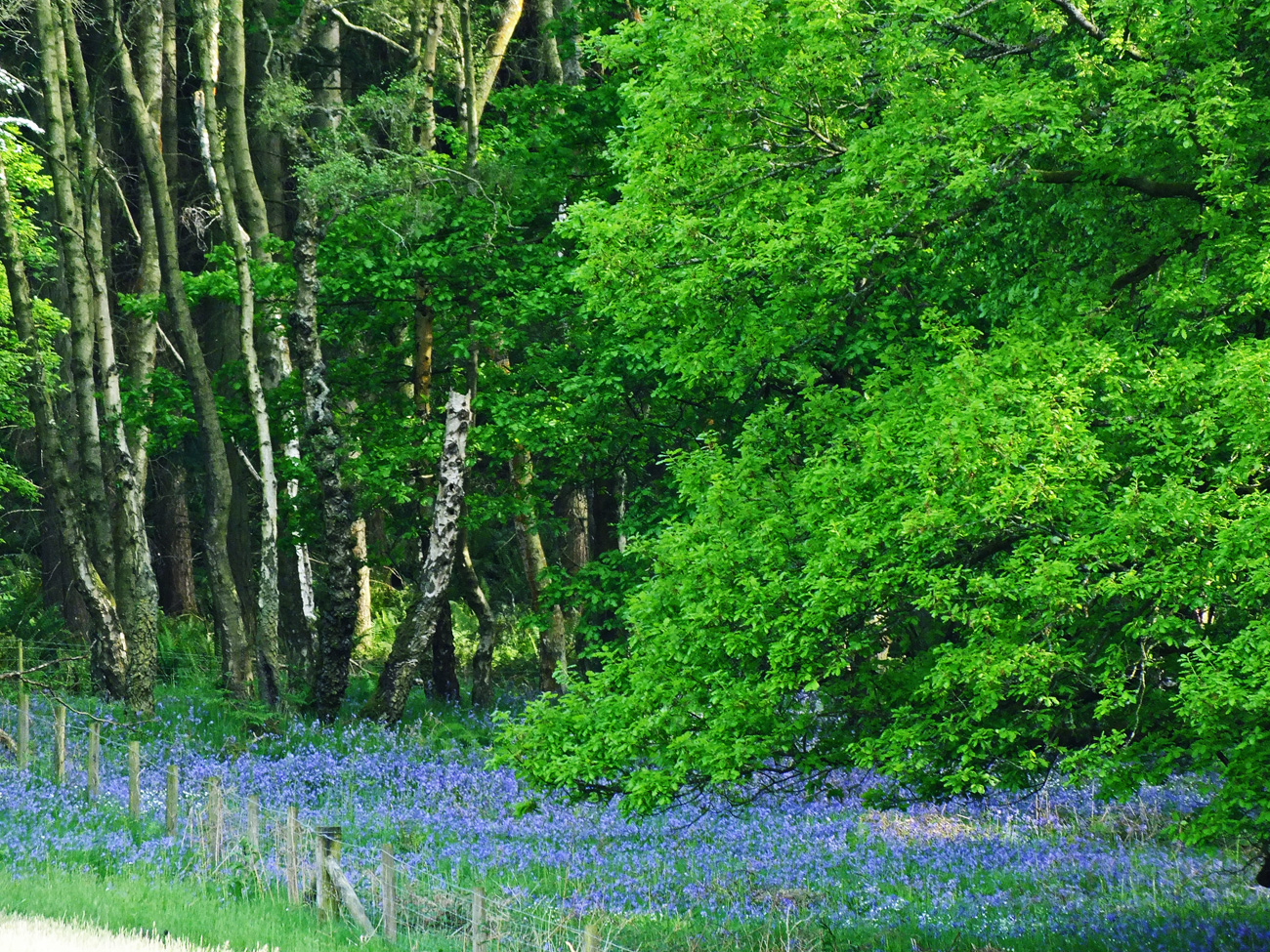
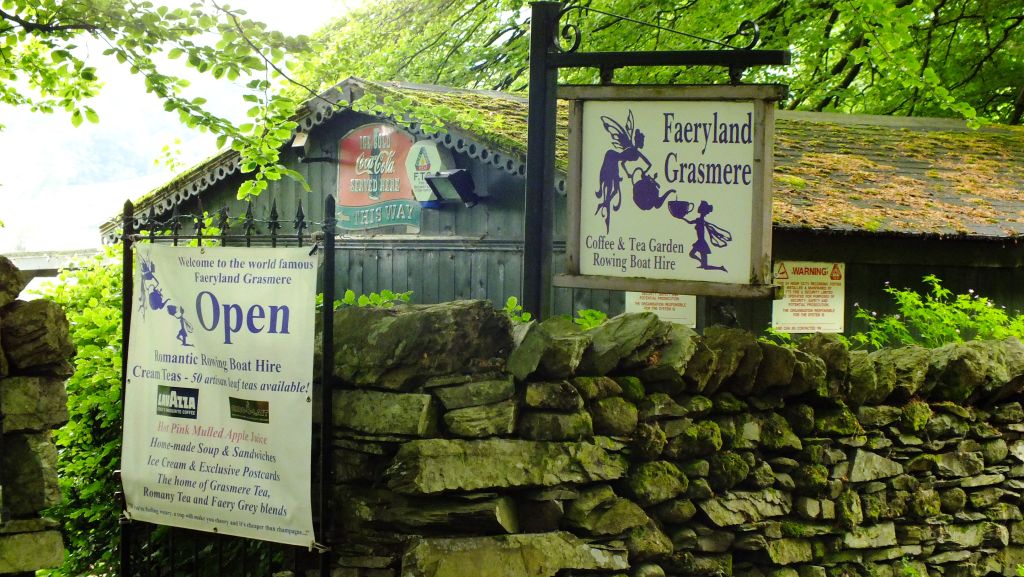
Where fayries wander
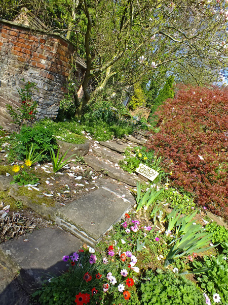
and bright yellow Welsh poppies huddle alongside the hedgerows. In fact I am reminded of Wales here. Though it feels lighter somehow.


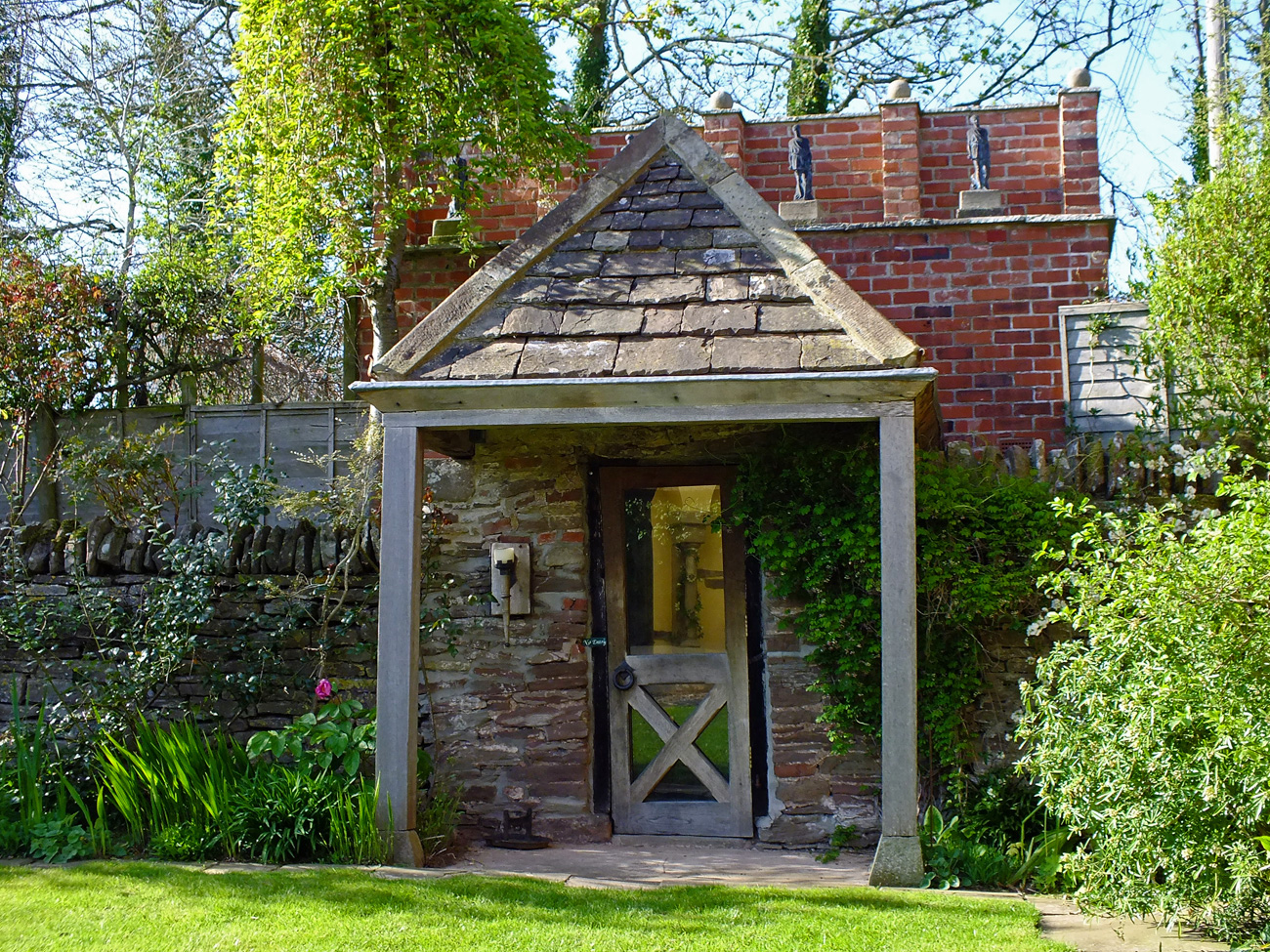
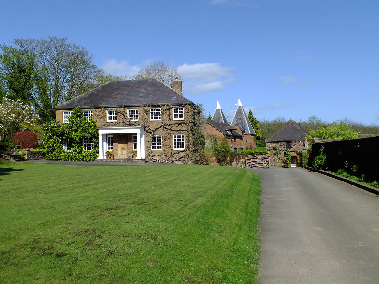
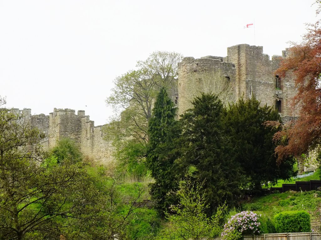
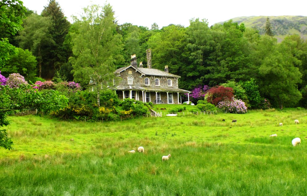
One, the wooden Garden House, appealed to me, but I dare say the price is high as well as the terraced garden, but oh, what a view.
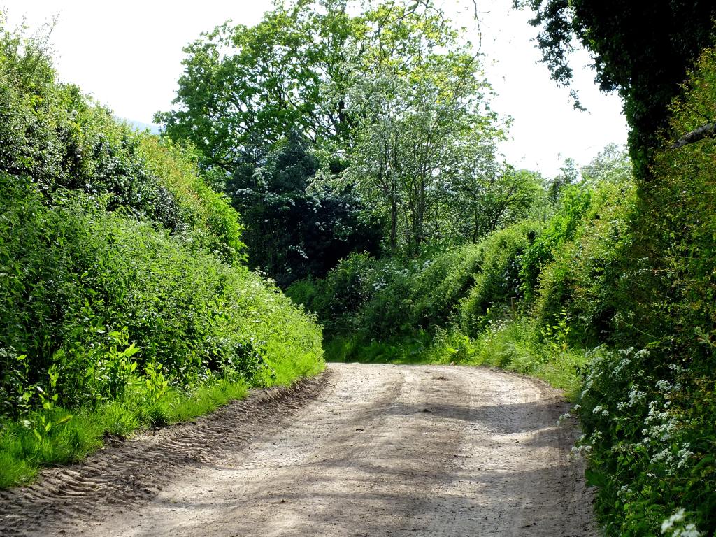
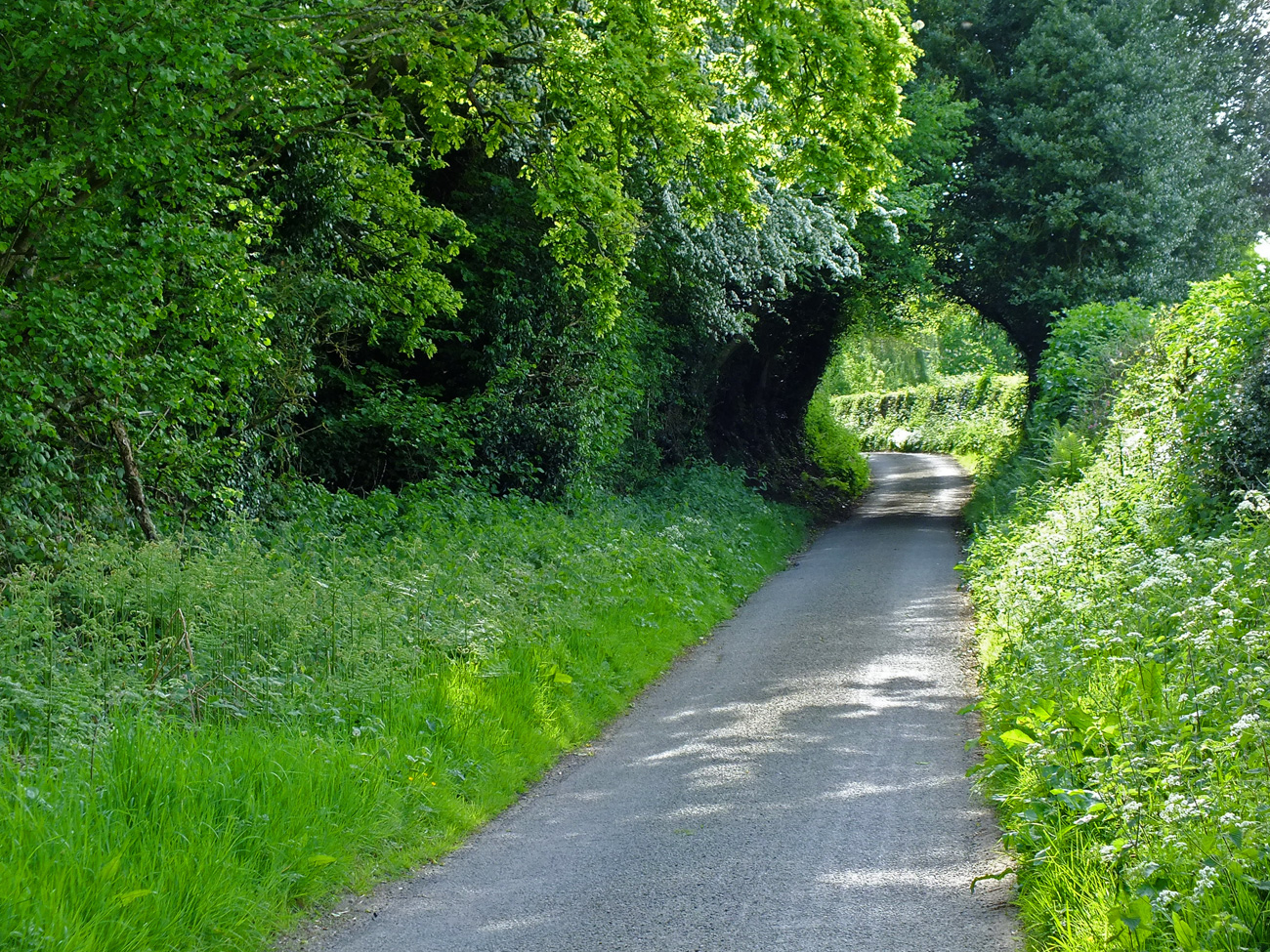
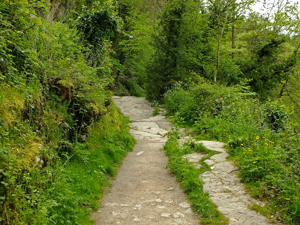
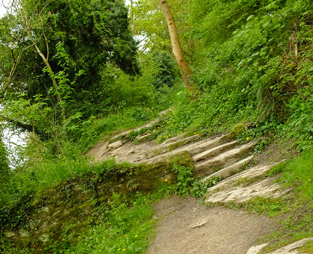
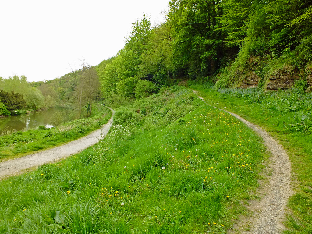
 The road continued meandering around bends, with no sight of a lake.
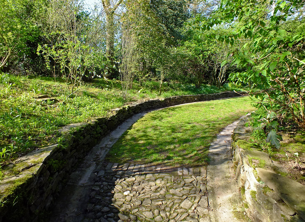
Then, a glimpse, through the trees and not long after we found the rough track leading down to the shoreline.


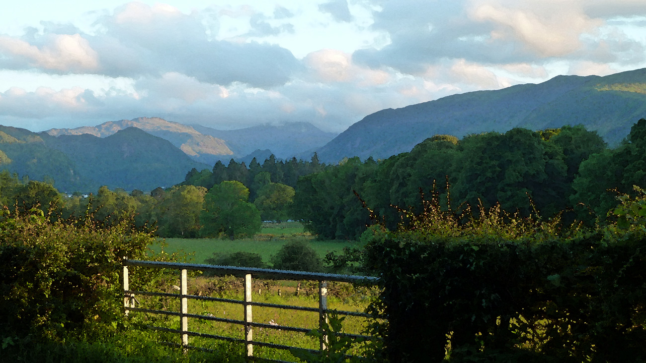
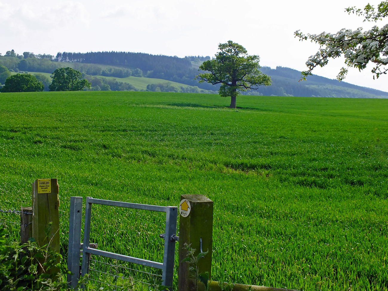
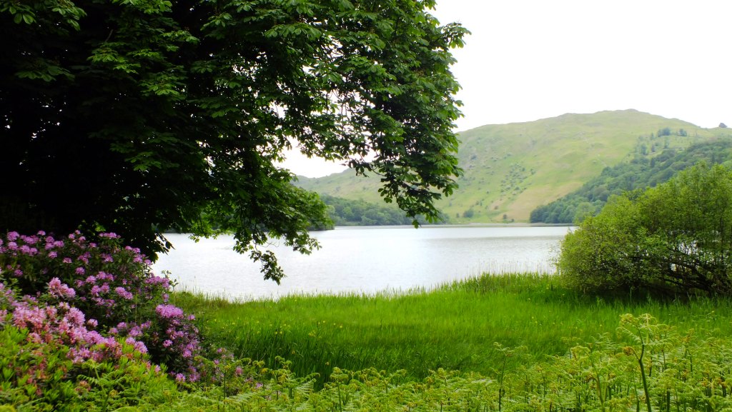
The views once we reached the shore were amazing. Lush green fells rearing up all the way around the lake, the village now shrouded in cloud and to the south, just a glimpse of the beach we were heading to.


And neat wooden boardwalks to help us safely over the streams that feed into the lake.


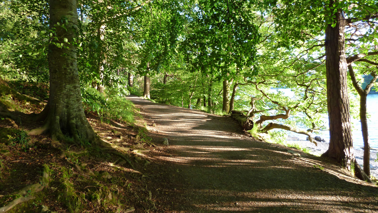
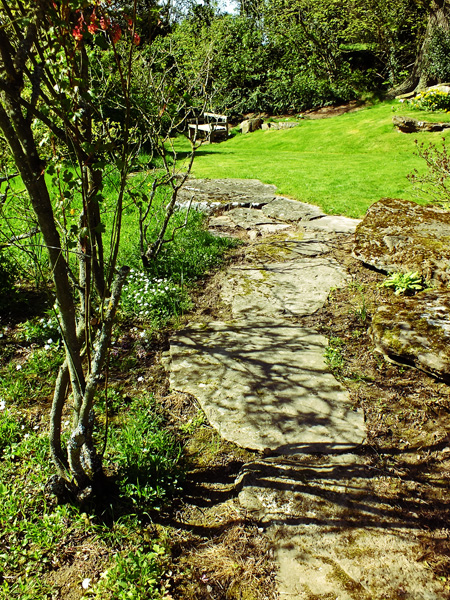
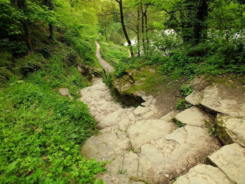
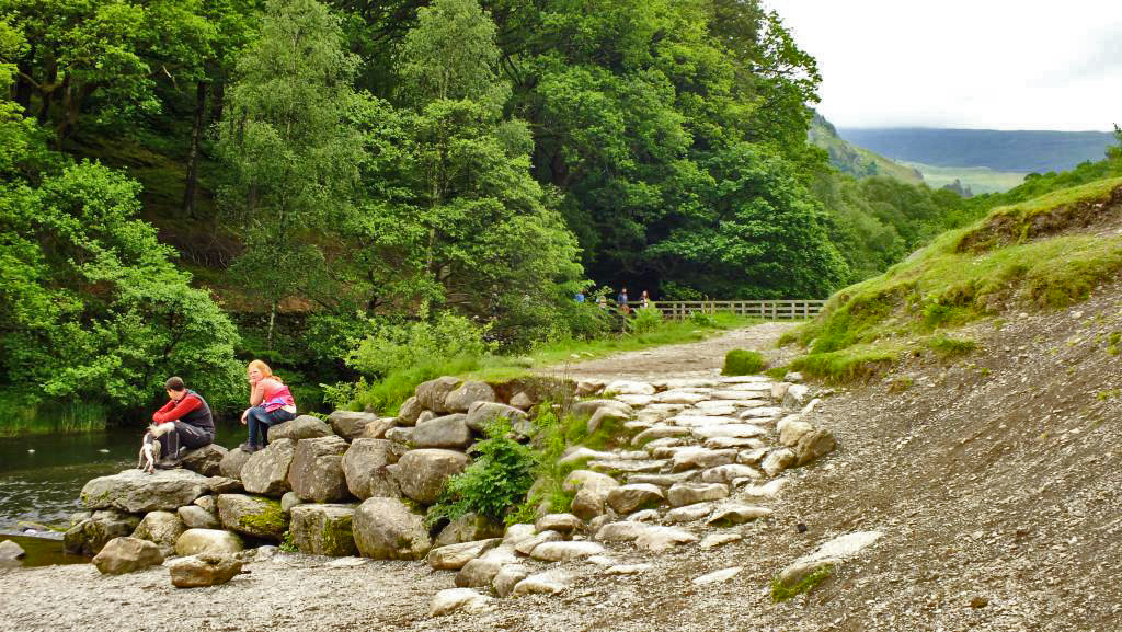
The path follows the shoreline until you reach the southern end, where you head up slightly into woodland, before coming out onto the beach. This must be a lovely place for a picnic in the summer months. It was, however, a little drizzly today.

But with beautiful reflections in the mirror-like surface

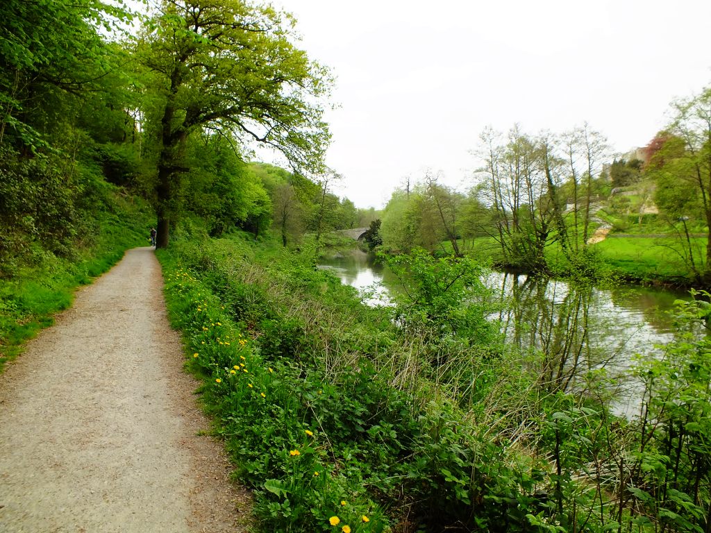
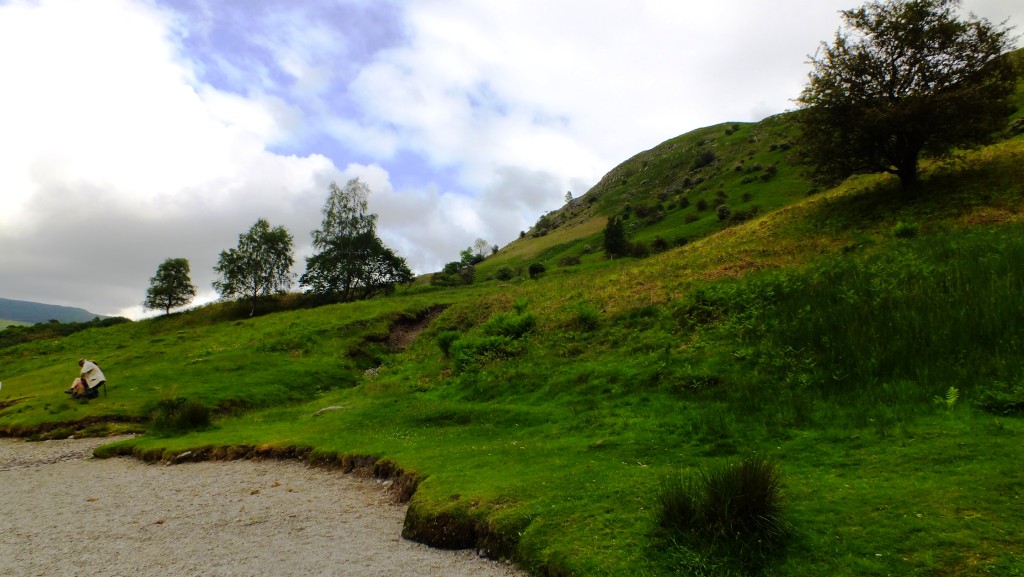
We found more people at this end of the lake (and discovered later that there is a car-park not too far away), some sitting admiring the view, others walking their dogs, and other fit people climbing up the fell behind us.
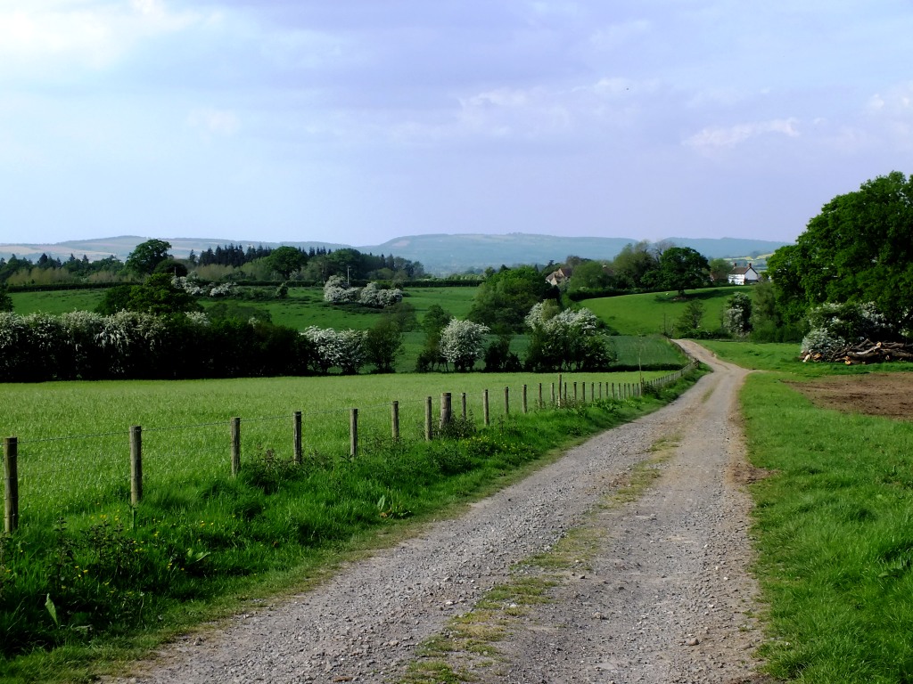
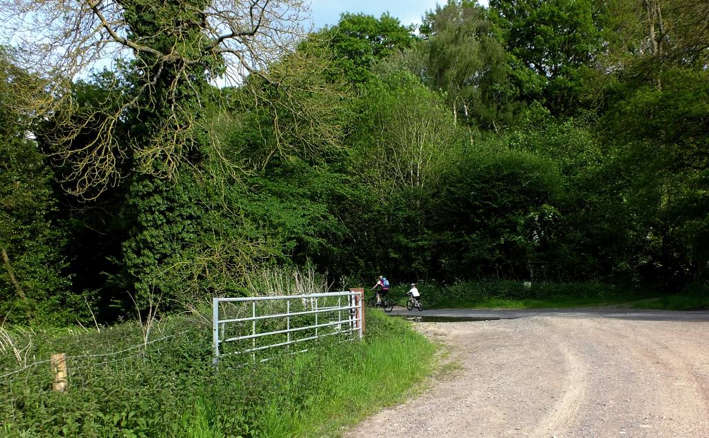
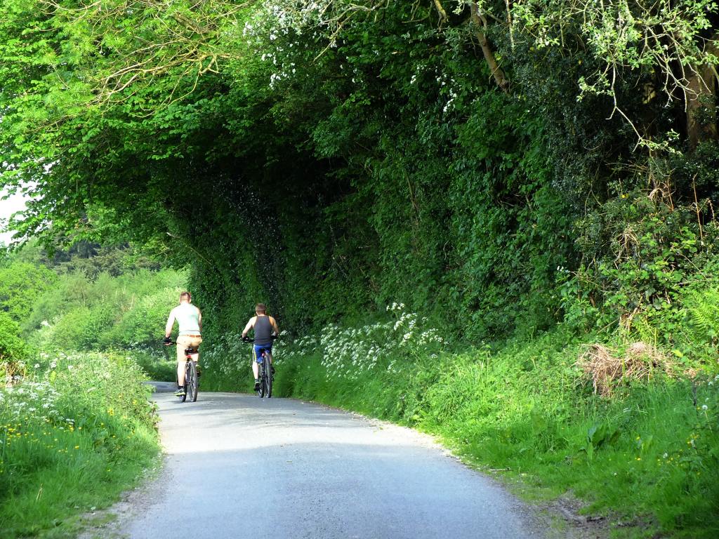
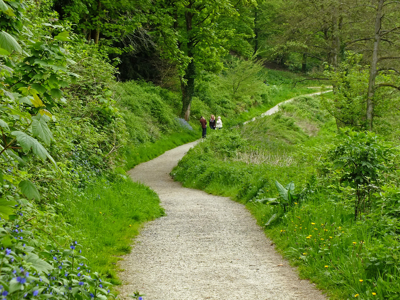
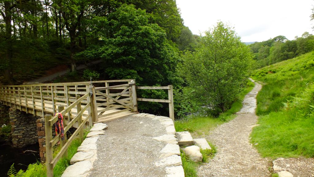
 Now we had to decide which way to go. There was no obvious sign, so we headed over the wooden bridge and into the woodland. Only to get lost. Later we realised that we should have simply followed the path alongside the river as that led to the road and car-park. It was awfully wet though.
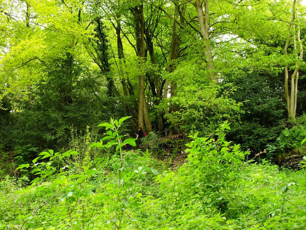
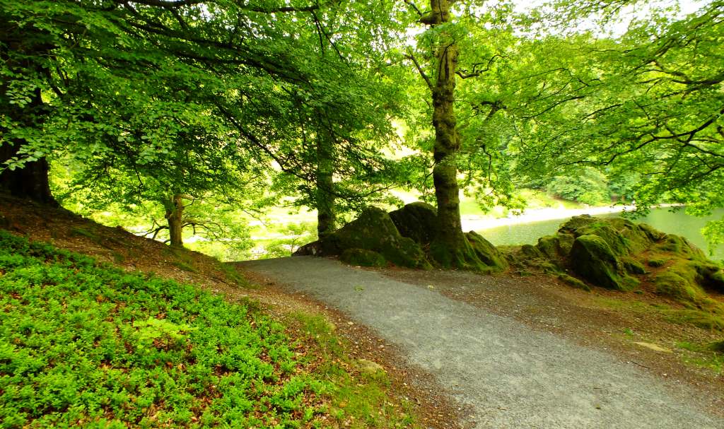
 Into the wood
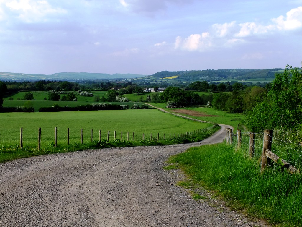
 Finally, after doubling back on ourselves a couple of times, we found a way out of the wood and onto the very busy A591 road which leads to Windermere. Fortunately we only had a few metres to walk before hitting the pavement which took us back into Grasmere. Can you spot that lovely house overlooking the lake?
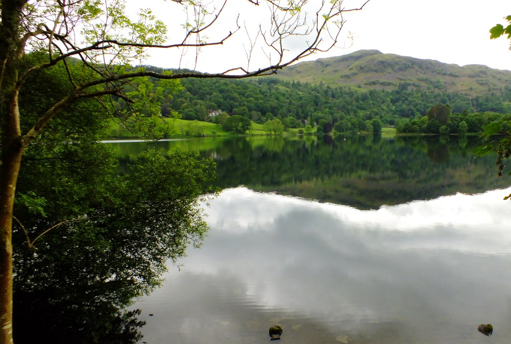
A last view of the lake at the northern end.

If you enjoy a walk, short or long, then you may enjoy visiting Jo’s Monday Walk where you are in for a treat.