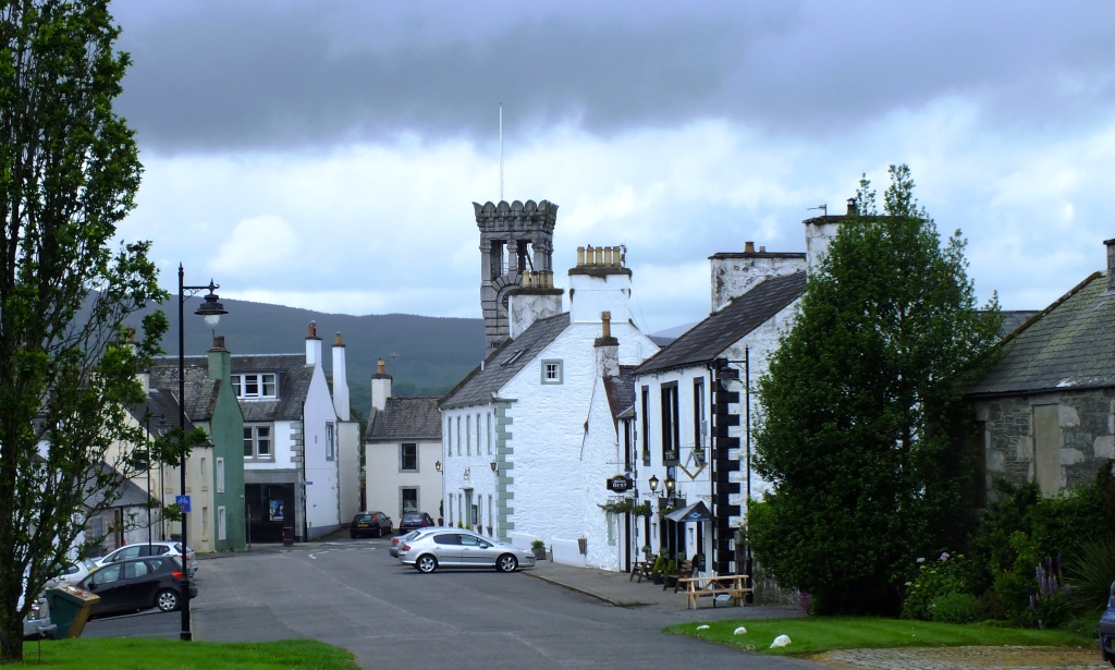
Let me introduce you to one of the prettiest towns in the Kent High Weald, only three miles from the famous Sissinghurst Gardens created by Vita Sackville-West. You may enjoy the many types of weather-boarding and architecture, independent shops, the narrow medieval streets and some interesting buildings all within an easy walk of each other including a beautiful church and a smock windmill. It is the picture of a small English town and on a warm summer’s day with church bells chiming and white sails shimmering, let’s go for a stroll around Cranbrook.

Cranbrook means ‘brook frequented by cranes or herons’. The name is first recorded as Cranebroca in the Domesday Monachorum of 1070, but as the name of a stream, not a settlement.
Leave the car in one of the free car parks and head down the High Street to the Vestry Hall built in 1859 as Cranbrook’s court-house with the Old Fire Station below. Now the Weald Information Centre.

Head up the steps on the left to St Dunstan’s Church. Outside on the tower is a carved figure of Father Time. Local legend says that he comes down every night and scythes the churchyard grass to keep it neat and tidy.


Opposite the church is Church House, formerly Dence’s School, which was built in 1567 by Alexander Dence. It was used as an elementary school for 300 years.
Carry on around the church and through the churchyard which leads into another small car-park and back into the town.

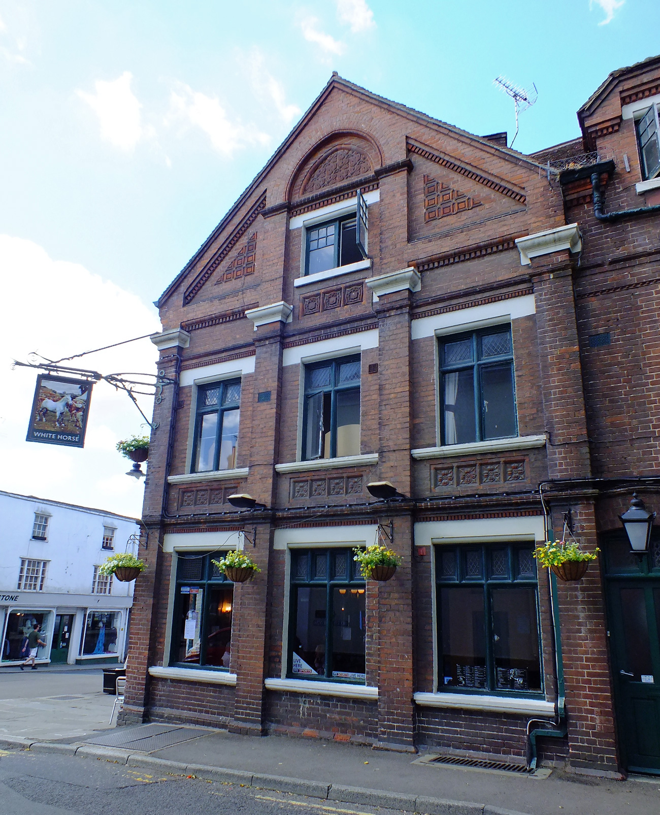
Stop to look at the decorative bricks of the White Horse public house on the corner.

Straight on down Stone Street you will catch glimpses of the windmill ahead of you.

and lots of lovely shops…


On the right hand side several narrow passageways lead off Stone Street. One passage passes Hatter’s cottage, which was William Tooth’s water-powered hat factory.

Pop around the corner to see Cranbrook School. John Blubery (d 1518) bequeathed funds for “a frescole howse for all the poor children of the towne”. The school received a charter from Queen Elizabeth I in 1574. It is now a co-educational grammar boarding and day school and still State-funded.


Retrace your steps and turn left onto St David’s Bridge where you will find a delightful Arts and Crafts House which used to be a restaurant. Originally a temperance coffee house with reading room the Old Coffee Tavern was built in 1890 by Clement Cramp (1816-1894) for working men.


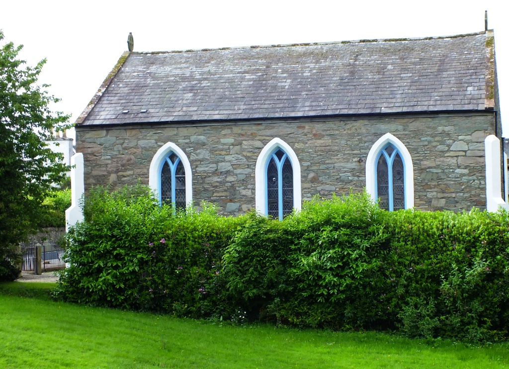
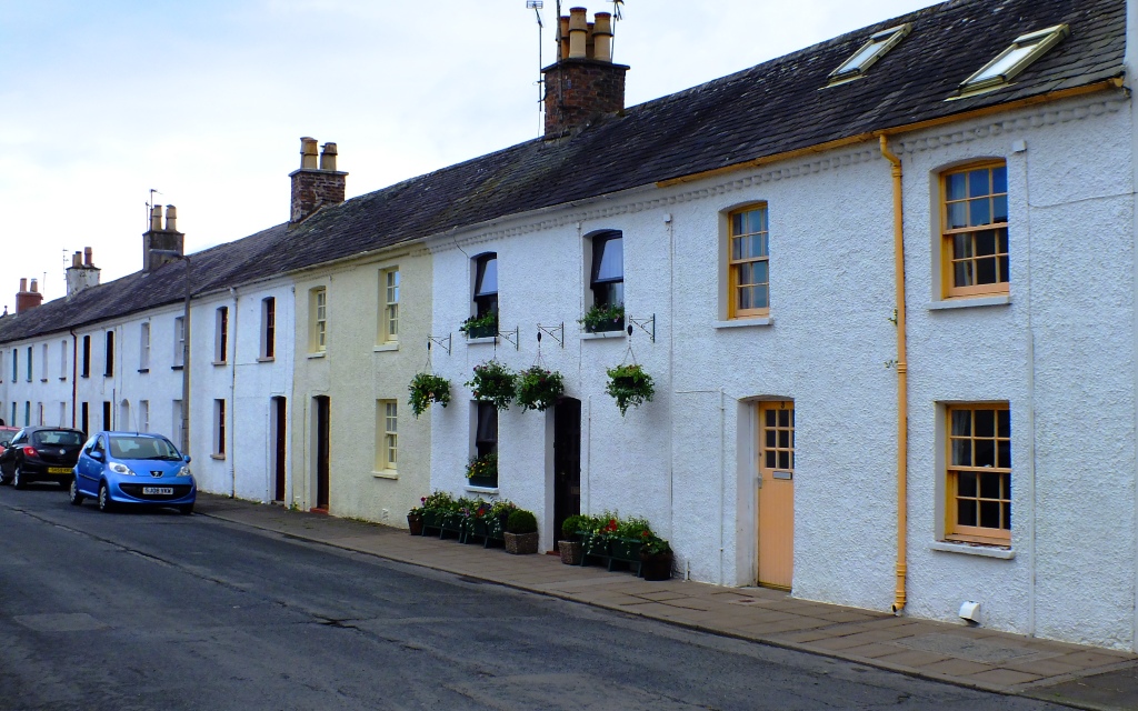
Opposite is a row of white weatherboarded houses and The Chapel of Strict and Particular Baptists. Built in 1785, this is the oldest existing place of worship for Dissenters in the Parish.


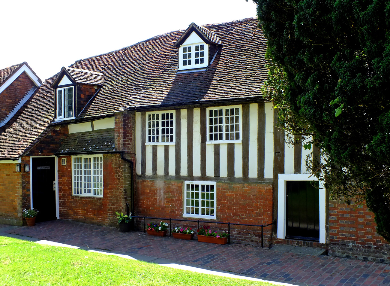
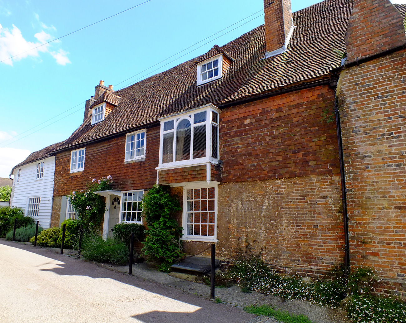
Continuing up Hill Road with Hill House on the right. Dating from the late middle ages, when the town was the centre of a thriving woollen industry, Hill House is a medieval clothier’s house. Note its lovely door.


We have now arrived at Cranbrook’s windmill which is the tallest surviving smock mill in the British Isles. Built in 1814 it dominates the town. It is still in working order, grinding wheat regularly to produce wholemeal flour which can be purchased from the mill shop. The Windmill is usually open Saturday, Sunday and Wednesday afternoons in the summer. Note: not on a Monday.


Stepping into Cranbrook is like stepping back in time.


If you enjoy a walk, short or long, then you may enjoy visiting Jo’s Monday Walk where you are in for a treat.